The Northern Shores of Datça Peninsula
It is a 35-mile coastline from east to west. The Kocadağlar mountains located in the east descend westward, continuing with the plains of Emecik, Reşadiye and Datça, then rising again with Karadağ and ending with İskandil and Deveboynu capes.
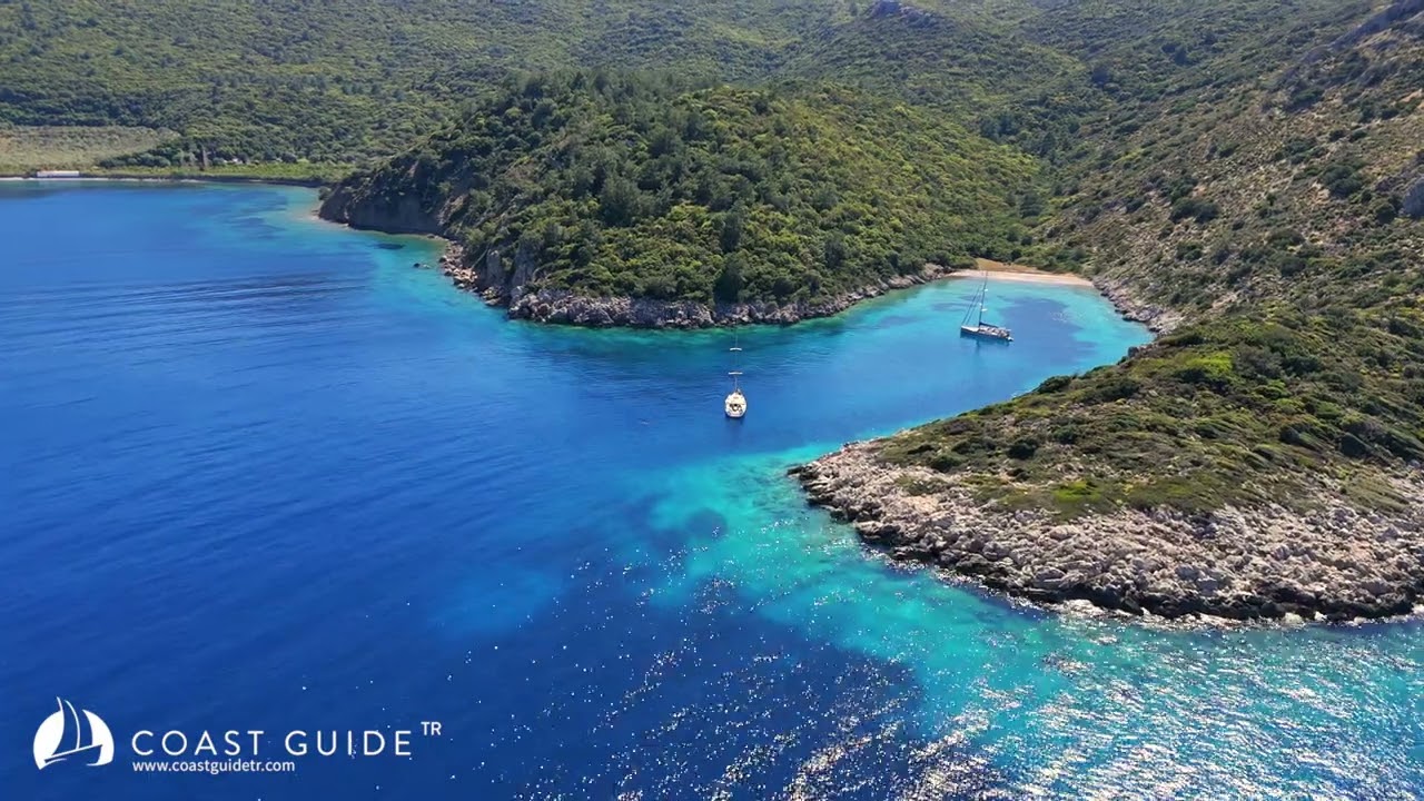
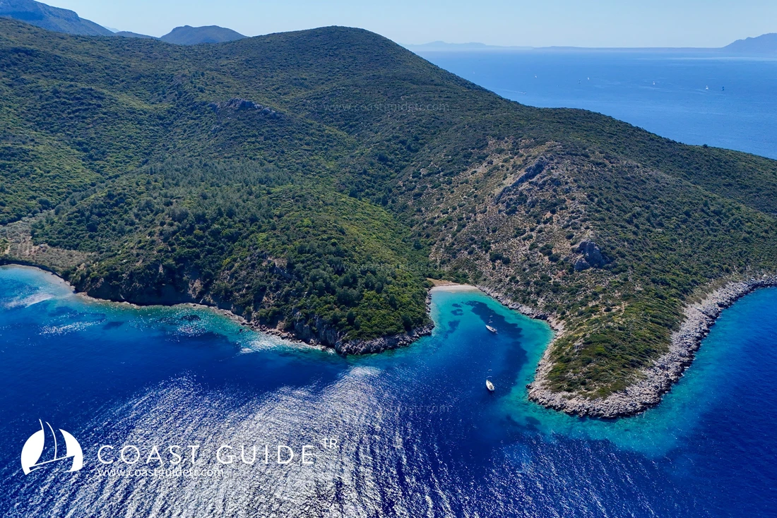
There are only three places to shelter on this coast. Apart from Gölyeri, Körmen Harbor and Mersincik Harbor, there is no place to take refuge or shelter. It is generally a coastline that is exposed to lee winds and waves.
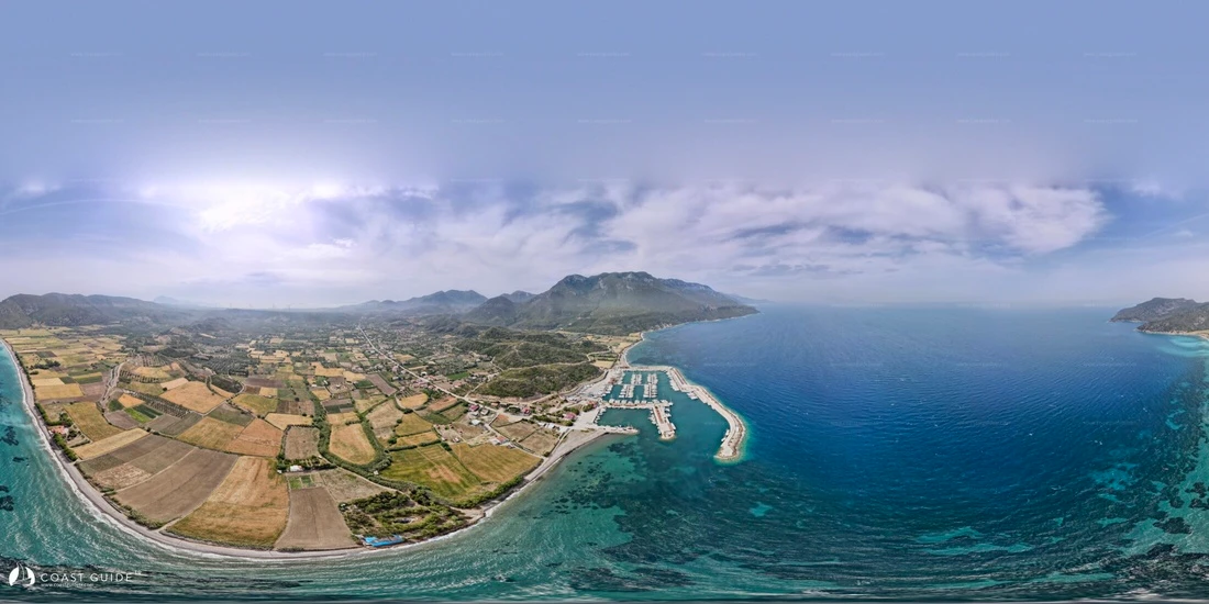
Kairos Marina inside Körmen Harbor is the only marina in the region.
The Kos Island channel, in particular, is one of the windiest and waviest locations in the Aegean Islands. There is no other place besides Kairos Marina connected to Datça, which has health, safety and all kinds of supply facilities. The coastline is deep.
Winds:
Spring : Prevailing wind direction, SOUTH
Summer : Prevailing wind direction, NORTH-NORTHWEST 2nd Direction, SOUTHWEST
Autumn : Prevailing wind direction, NORTHWEST. 2nd Direction, SOUTH-SOUTHWEST
Winter : Prevailing wind direction, SOUTH
CHART :
311 – 3112 C
236 B.Adm.
Video