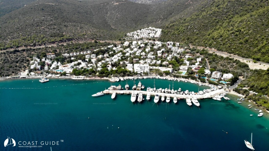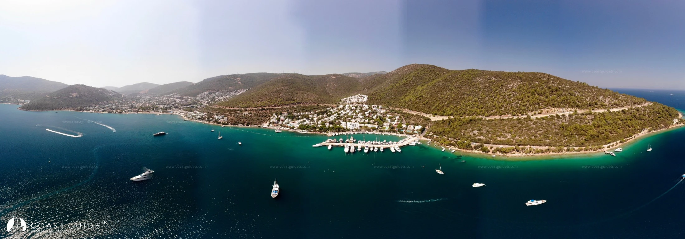
Torba
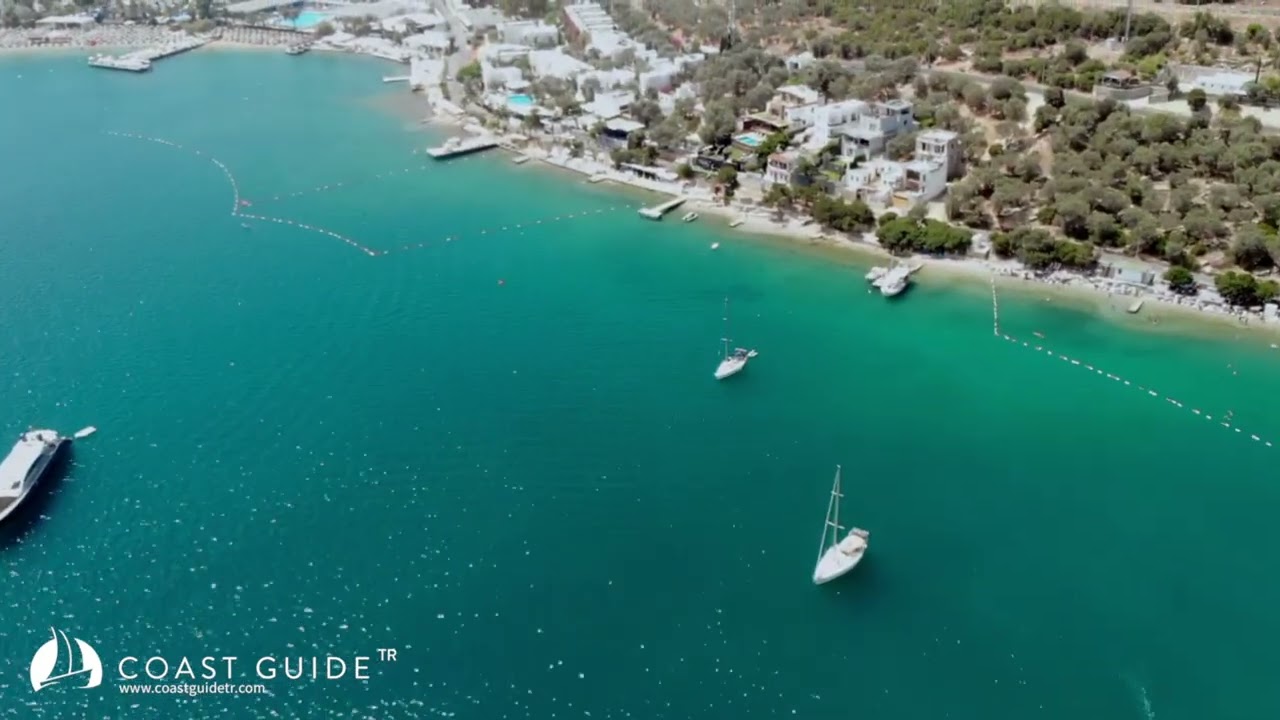
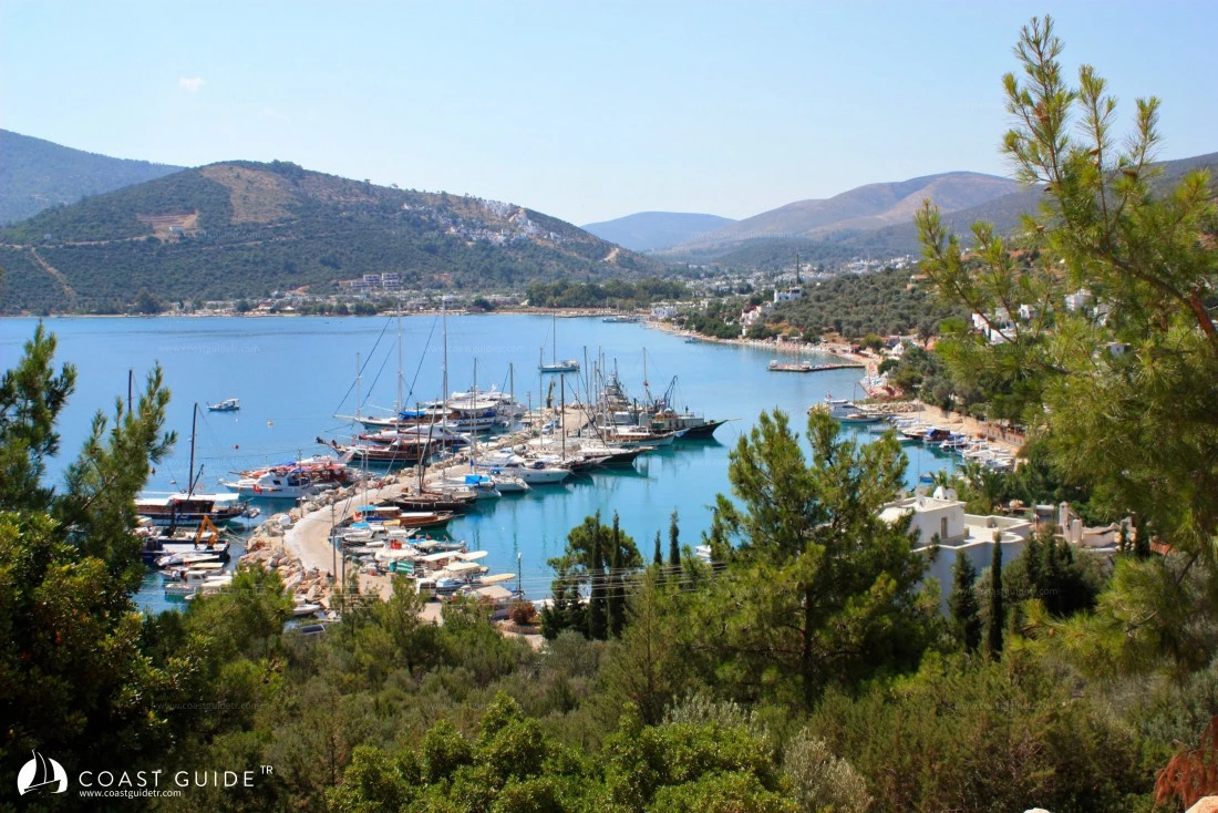
It is a natural harbor on the north of the Bodrum Peninsula, located between Zeytinli Point and Boz Point. Torba Cove is one of the most beautiful coves of the Bodrum Peninsula.
The bottom is generally sand. The cove is open to the northeast. However, after the Meltemi hits the high hills, it can create wind from any direction. Inside the cove, you can anchor on sandy bottom between 5-10 meters depth and stay.
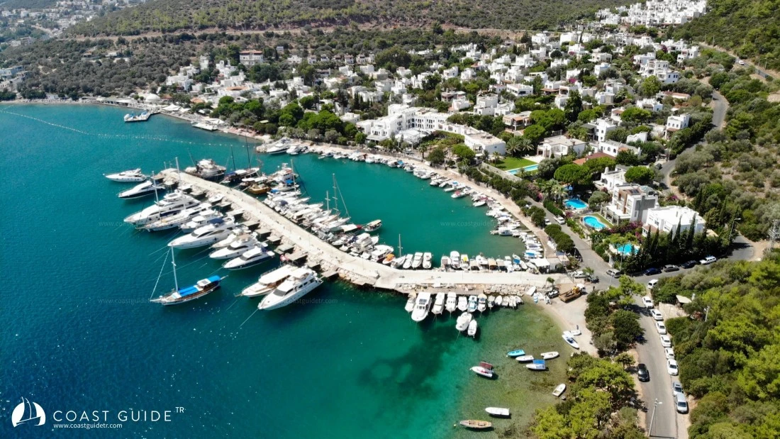
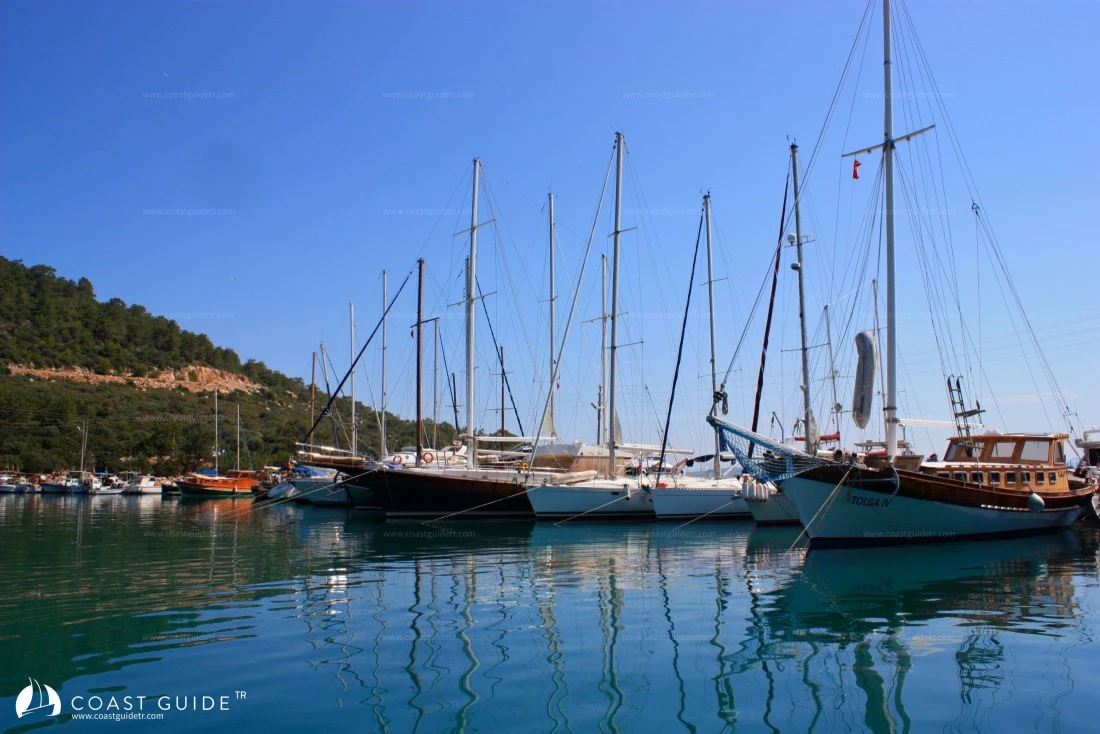
There is a fishing shelter on the northwest of Torba cove. This shelter, operated by the fisheries cooperative, is generally full.
Inside the shelter, there is 3-4 meters depth on the breakwater side. The land side is shallower. It is also possible to moor on the outer side of the breakwater. Here the depth is around 6-10 meters. When moored in this way, you can also benefit from the shelter's facilities.
In the small, charming shelter, you can get electricity and water. The shelter also has sewage discharge. Fuel needs are met by tankers. There is a laundry and pharmacy. In Torba, where there is also a Gendarmerie Station, there are bank ATMs.
In Torba, where there are many hotels and guesthouses, there are also large supermarkets.
Torba is right next to the Bodrum-Milas highway. It is 7 km to Bodrum, 30 km to Bodrum Milas Airport, and 45 km to Milas. Transportation is easy, buses, minibuses and taxis are available.
In case of emergency, it is an advantageous point due to its proximity to Bodrum in terms of technical supplies and support.
Shelter Manager (0542 482 60 76)
Marine Chart
Initializing...
Weather
Video