Sedir Island
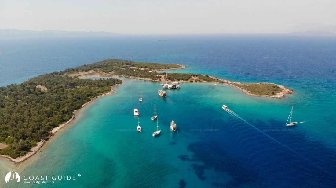
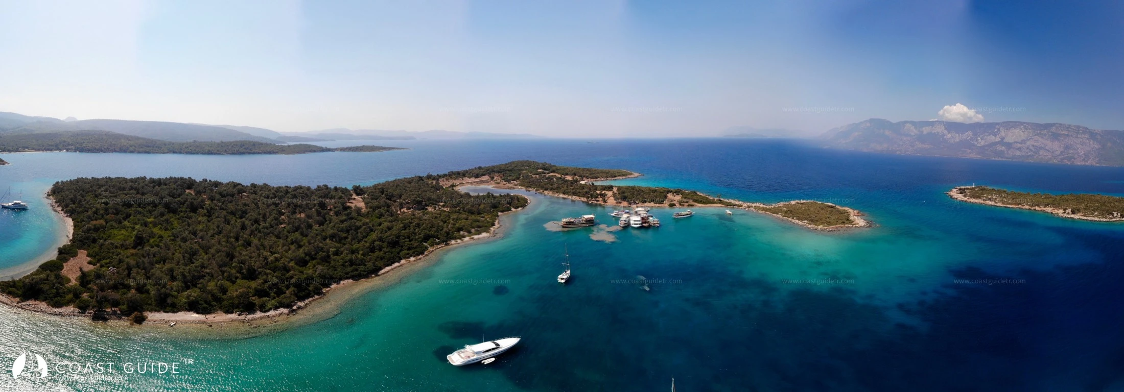
The three islands located between Çapa Burnu and Domuz Burnu are called Şehir Islands. The largest of these islands of varying sizes is Sedir Island.
On Orta Island, located 185 meters north of Sedir Island, there is a lighthouse (Fl 10s 15m 9M). There is 5 meters of water between Sedir and Orta islands.
Küçük Island is located southeast of Orta Island. The area between Orta Island and Küçük Island is shallow. The small cove on the east side of Orta Island is sheltered from meltemi but takes swell. There is a rock debris at 4 meters depth 500 meters north of Orta Island.
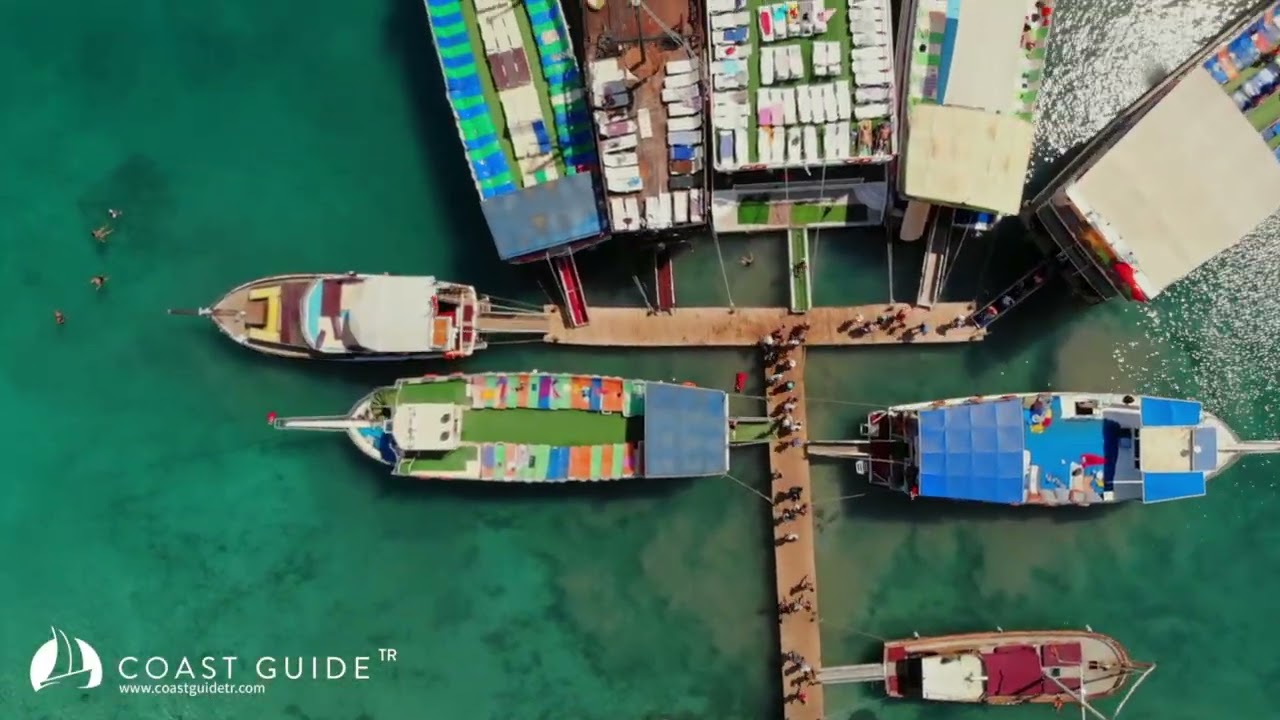
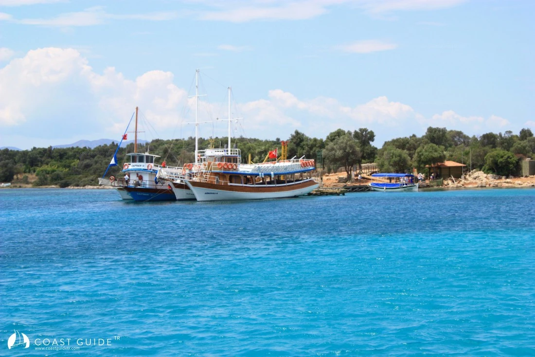
There is a pier on the shore of Sedir Island. This pier is used by commercial vessels visiting the island. It is a transfer pier, not for berthing. There is 3 meters of water in front of the pier. In difficult situations, especially at night, stern-to mooring can be made to this pier.
Although this location of Sedir Island is excellent in terms of appearance, it is an area that requires great attention in terms of anchoring. The bottom is completely sand. However, it is observed that the anchor has difficulty holding during strong winds. The height of the island is not sufficient to block the winds. For this reason, it is necessary to moor stern-to on the tongue-shaped shore extending north from Sedir Island-close to the pier. The end sections of the tongue take swell in windy, wavy weather. The cove is sheltered from meltemi but is exposed to north and east winds and is absolutely not suitable for berthing.
Yachts visiting the island generally stay at anchor in the middle of the cove. Depth decreases rapidly towards the pier. The areas in front of the tongue extending north are also shallow. Areas where depth is 4-7 meters are safe. If the anchors of vessels at the pier, the anchoring areas of vessels at anchor, and shallow areas make anchoring in this small cove difficult, it is advisable to anchor on the eastern side of the island (36°59'34"N-28°12'35"E) at 8-12 meters depth and moor stern-to, which will give you peace of mind.
However, when passing from the bay to the eastern shore, the old breakwater extending 75 meters from the cape is underwater, careful passage is required. South of the island, there is an anchorage sheltered from northerly winds (36°59'28"N-28°12'26"E) where anchoring at 6-9 meters depth and mooring stern-to shore is possible.
West of Sedir Island, there is Ördek Rock in an area extending 500 meters from the shore. A YBY CARDINAL(West) Buoy is located on it.
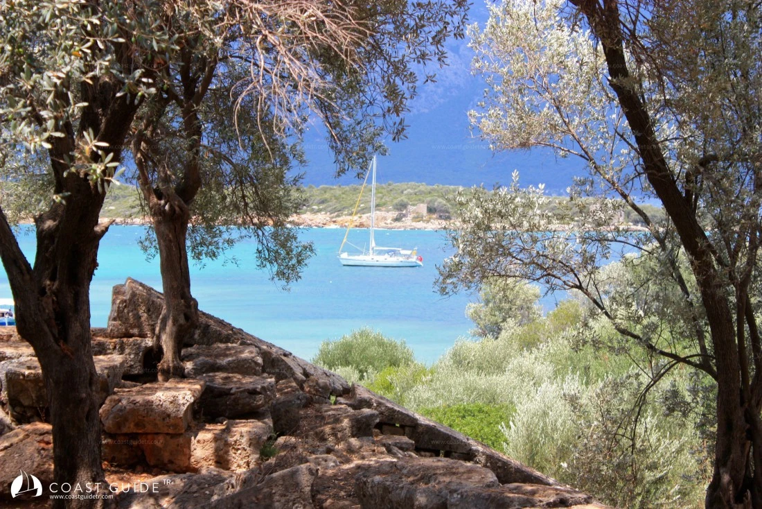
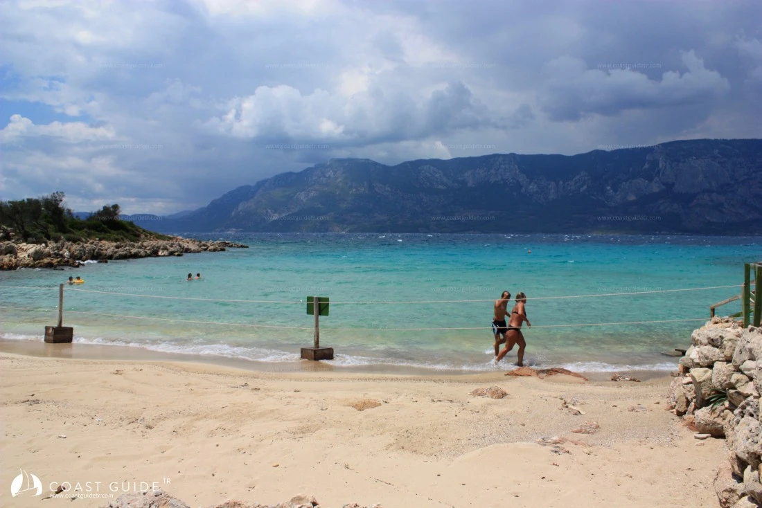
The ancient site of Kedreai from the Hellenistic-Roman period is located on Sedir Island. Walls and a theater can be seen on the island covered with olive trees. The most important place on the island is the small beach. The beach sand has very distinctive characteristics and is under protection. According to legends, this small cove is where Cleopatra and Mark Antony bathed in the sea. When Antonius saw that Cleopatra loved this beach very much, he had sand brought from Egypt by ships for her beach. The same sand exists only in Tunisia. For this reason, the beach is called Cleopatra Beach.
In fact, this sand called "Oolitic" is a type of sand not found in the Anatolian climate zone and seas, and forms over very long periods of time. For this reason, it is under protection.
The island is protected by the Ministry of Culture and Tourism. There is a restaurant, WC and showers on the island. It has an atmosphere that is not oppressive even on the hottest days.
Kedreai was an important Caria settlement center. It is known that the Mycenaean civilization was first established here in 1400 BC and formed the Hexapolis confederation together with Knidos and Halikarnassos. The city is surrounded by castle walls and towers. The Apollo and Doric temple was later converted into a church.
The theater and city walls are the remains that have survived to the present day.
Marine Chart
Initializing...
Weather
 20°C
20°C 18°C
18°C 17°C
17°C 23°C
23°C 26°C
26°C 25°C24°C22°C20°C18°C
 17°C24°C28°C30°C29°C26°C22°C20°C19°C25°C28°C28°C27°C23°C
Video