Gökova
Under this heading, we have covered the coves (Paradise) between ÇAMLI (Gelibolu) PORT(36°59'24"N-28°14'53"E) in the northeast and GERENCE (Armonika) COVE (36°47'54"N-27°59'28"E) in the southwest of the unique Gökova Gulf, which extends in an east-west direction, remaining between the Bodrum Peninsula in the north and the Datça Peninsula in the south.
We have covered the coves that we know, have tested, and believe pose no problem for your anchorage.
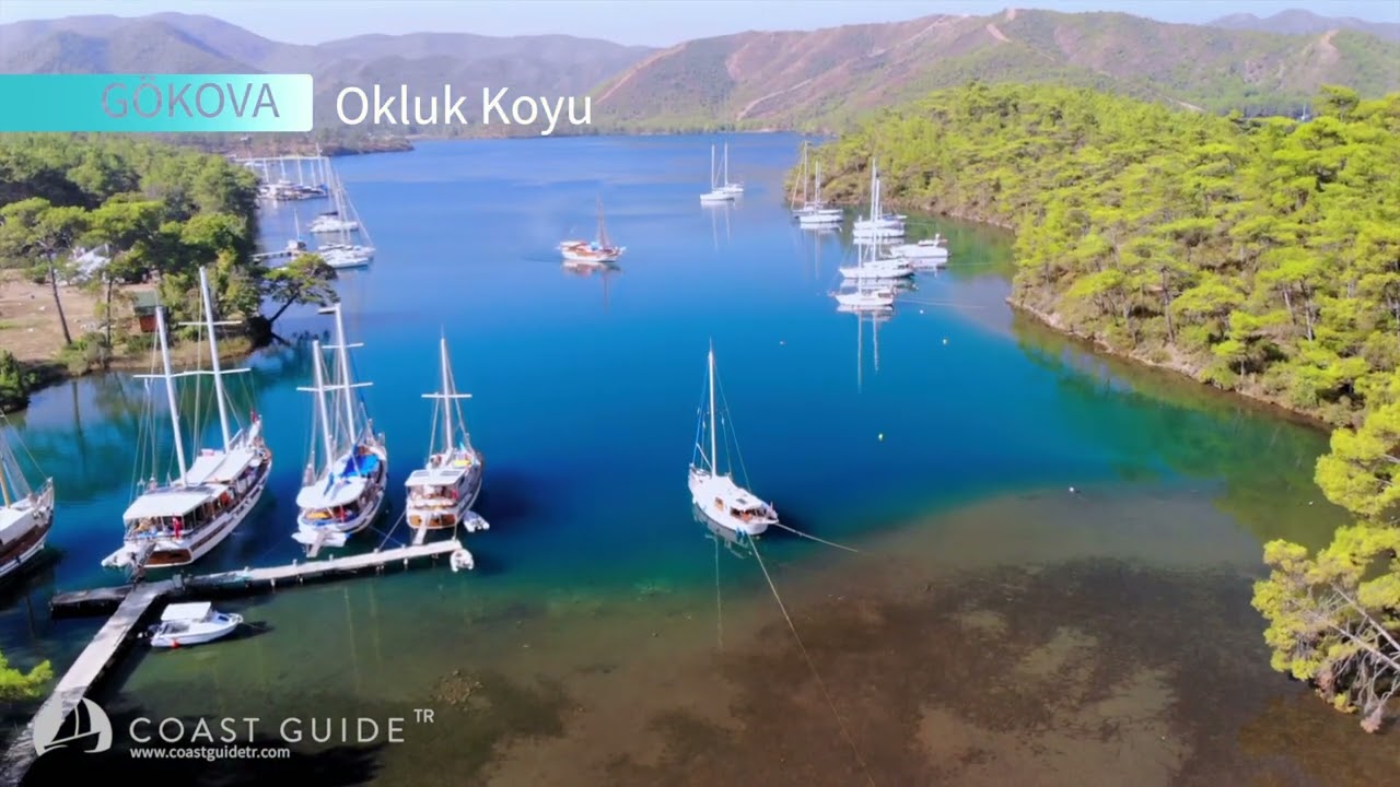
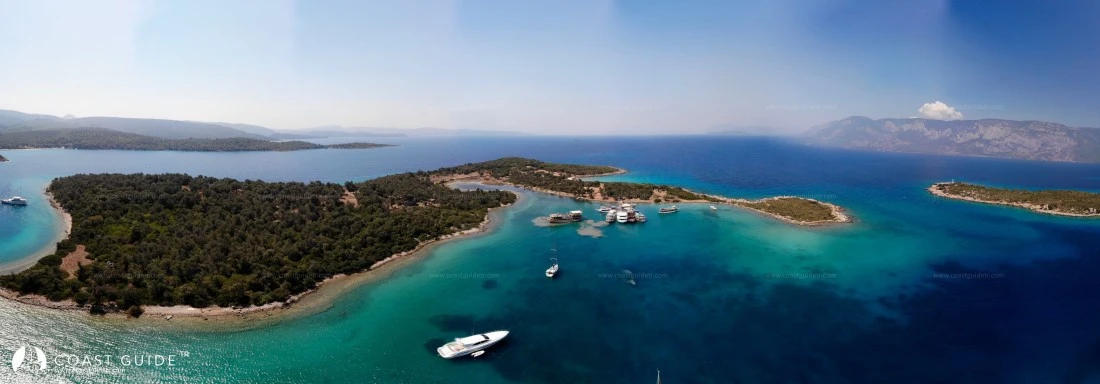
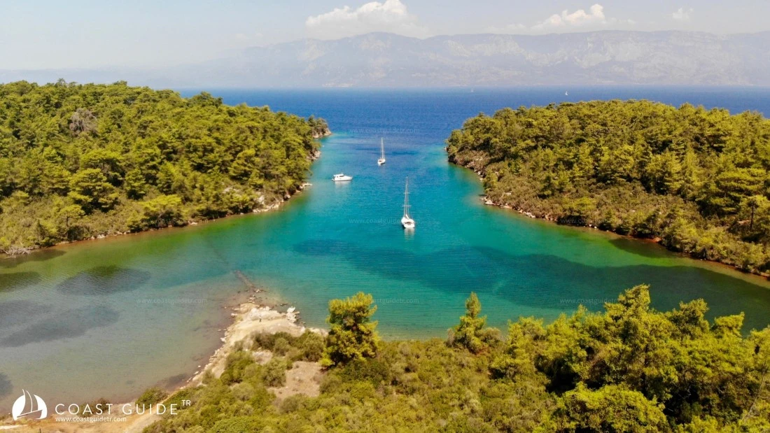
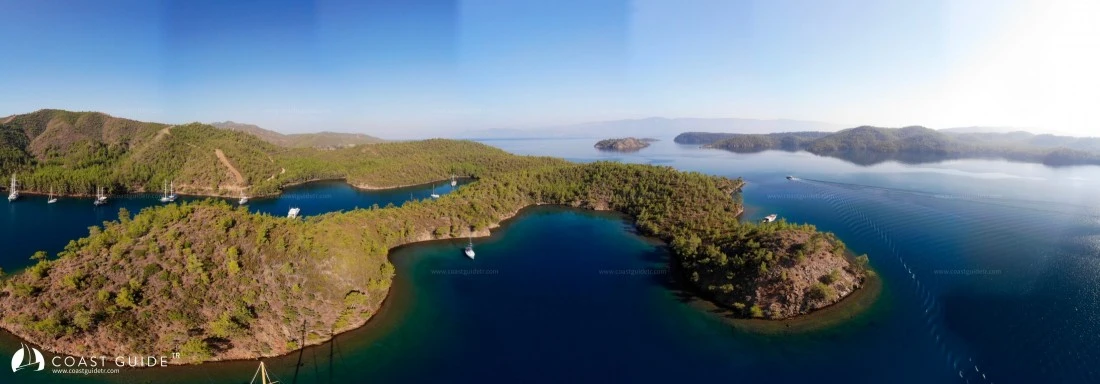
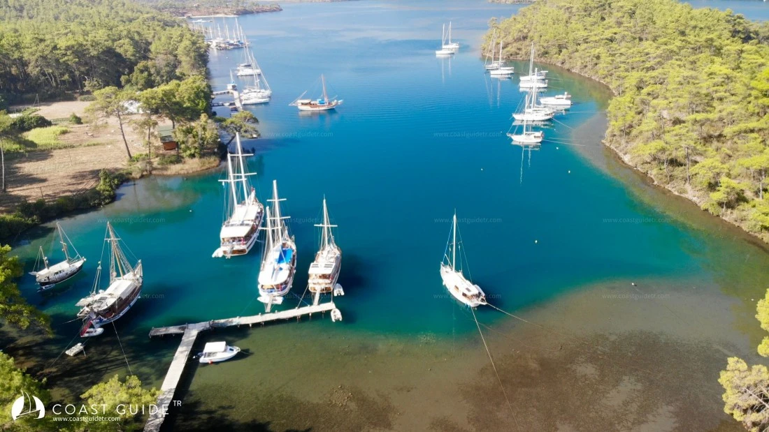
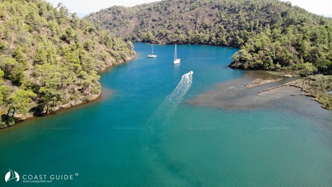
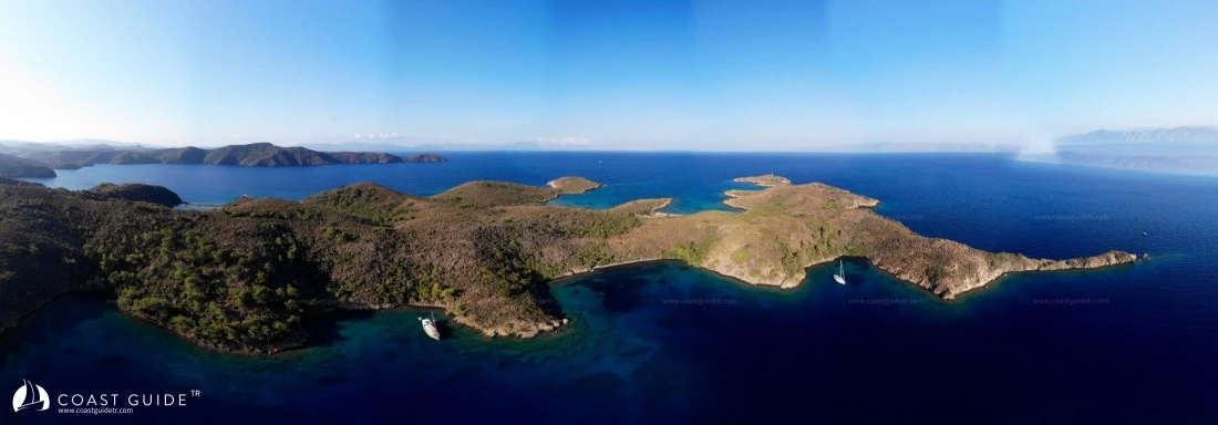
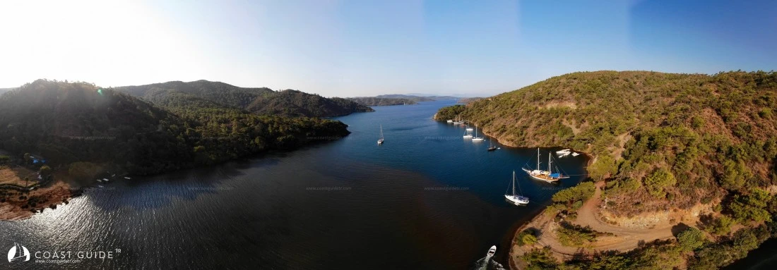
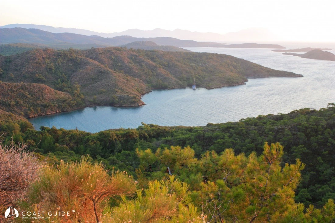
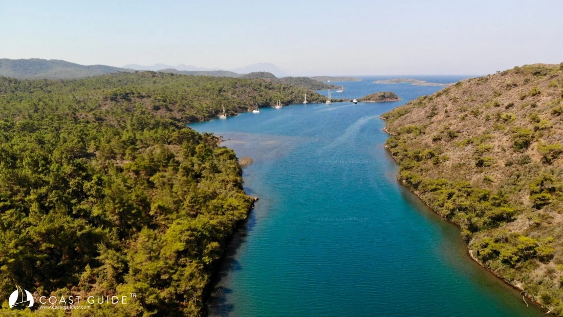
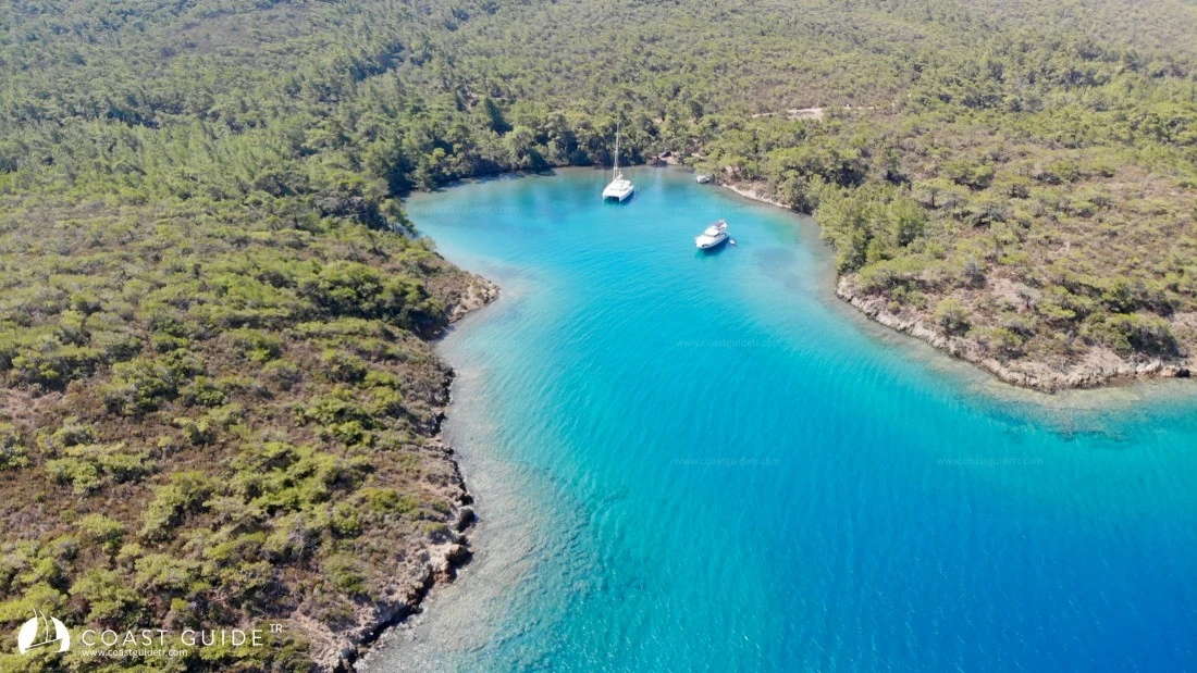
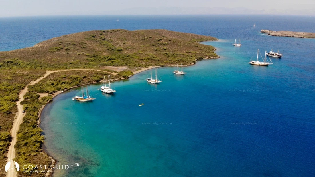
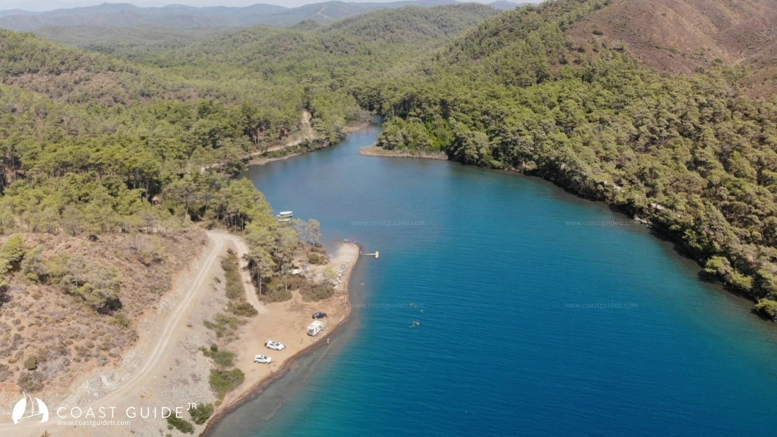
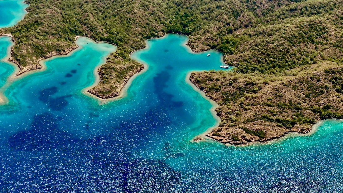
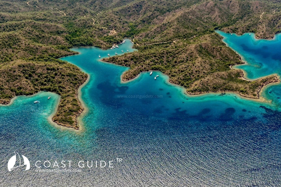
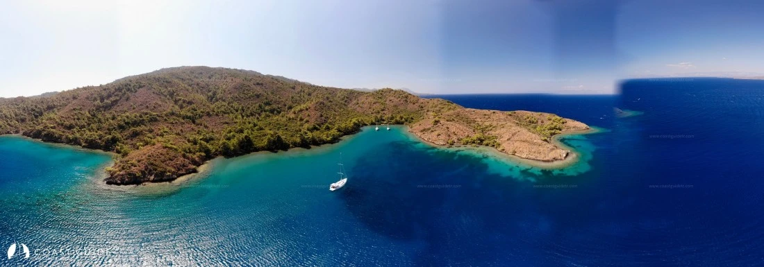
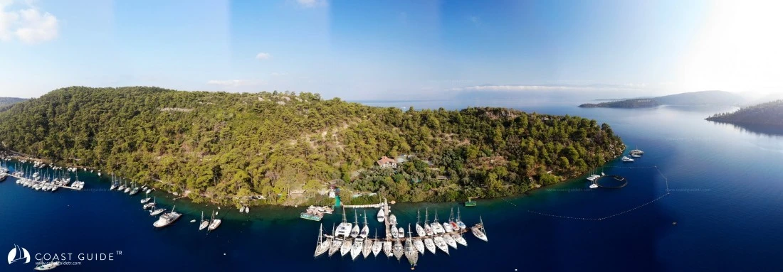
The world-famous yachting paradise. The region where mountains and hills covered with pine, bay, and olive trees extend into the sea, forming coves.
Is there another place, or how many places are there, where you can experience the sun, oxygen, bird songs, cricket songs, and the cleanliness of the water all together?
Hidden, mysterious, sheltered coves that we need to be careful of at the entrance, considering the possibility of forgetting them at the exit.
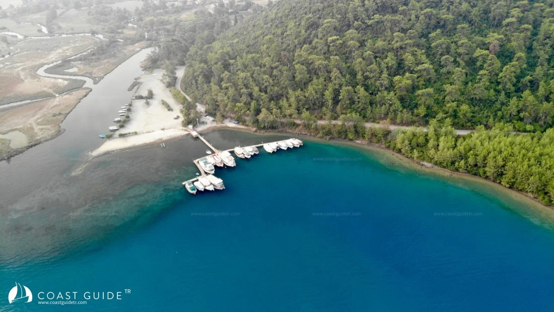
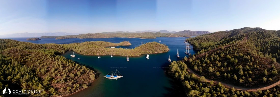
This area was declared a "1st Degree Special Protection Area" by a law enacted by the Government of the Republic of Turkey in 1998. For this reason, construction is almost non-existent. Small forest roads, walking paths, trails, and fishermen's supply routes hide under the trees without disturbing the nature's structure and await you for hiking. These roads also connect to security and supply routes. In very necessary situations, they have penetrated into the coves like capillary vessels. In the region, the green of the trees and the blue color of the sea are dominant.
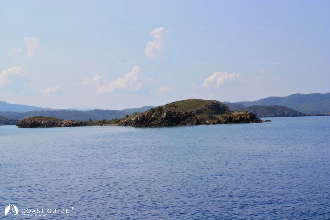
When entering and exiting these indented coves, it is necessary to be careful of rocks, shallows. These sheltered coves are very close to each other, and you can complete passages in all weather conditions without taking much risk. These indentations also contain shallows, spurs, rocks, and rocky areas in their geography. For this reason, it is beneficial to study your passage routes from the charts before setting out. Without forgetting that you need to pay attention to these issues, night navigation should be avoided as much as possible. In fact, Gökova is like a garden, flying from flower to flower, paying attention to thorny areasnecessary. Although you will be able to find these areas in detail on the pages related to bays, if we list them by region:
1) Around Çamlı Island.
2) Şehir Islands shallows.
3) Karamuk Rock
4) Göllü Island surroundings
5) Güllübük Cape Shallows
6) Boncuk Cape
7) Kuzgun Cape Shallows
8) Çatal Island Shallows
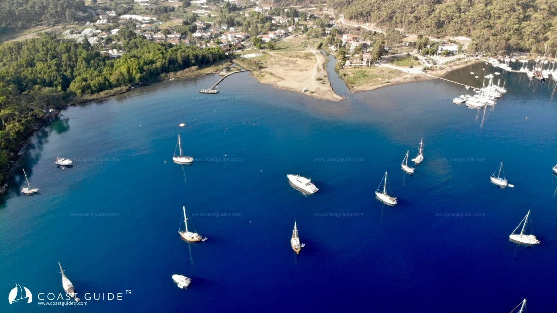
Summer months are the busiest period for the bays, but this density is never disturbingly high. Typical Bodrum Gulets adorn these beautiful bays.
Since it is a specially protected area, supply opportunities are also limited due to the absence of development. For this reason, when making your sailing program, it is useful to adjust your fuel, water, food and beverage stock accordingly.
The Coast Guard at sea and the Gendarmerie ready to assist you wherever you are on land are actively by your side. For health services, the nearest health centers and fully equipped hospitals are available in Marmaris center, which is connected to the bays.
METEOROLOGY:
The prevailing wind in the region during summer months is the meltemi. It rises towards noon and shows its strength until sunset. It dies down with sunset and light winds blow from land to sea at night. It is hardly possible to suffer from heat in Gökova. During the day, the meltemi enters the bays from different directions with the angles of the mountains and hills. It is not harmful, it is refreshing.
Gökova Gulf is located within the Mediterranean climate zone. The influence of polar air masses and tropical air masses is seen in the region. During winter, it is under the influence of fronts formed by the encounter of these air masses with different characteristics, and cool, mild and rainy weather conditions prevail. In summer months, hot and dry weather conditions prevail as tropical air masses influence the region.
The annual average temperature is 18.4°C.
January average is 10.6°C,
July average is 27.8°C.
Accordingly, the Gökova Gulf is cool and mild in winters, and the number of frosty days does not exceed a few days. Hot weather conditions prevail in summers.
Regarding precipitation values; the annual precipitation amount is 1190 mm/m2, of which 56.7% falls in winter season, 1.5% in summer season, and the remainder in other seasons. Although the annual precipitation amount is high, precipitation deficiency, namely drought, is very pronounced in the summer season
Winds:
Spring : Prevailing wind direction, SOUTH
Summer : Prevailing wind direction, NORTH-NORTHWEST. 2nd Direction, SOUTHWEST
Autumn : Prevailing wind direction, NORTHWEST. 2nd Direction, SOUTH-SOUTHWEST
Winter : Prevailing wind direction, SOUTH
CHARTS :
311 - 3111 – 3112
1055 – 1644 B.Adım
Video