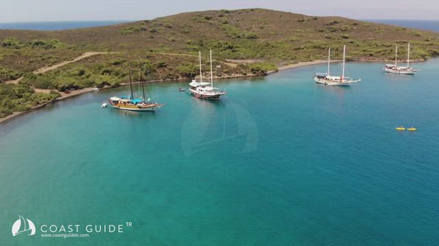
Çamaltı Koyu stands on the SW corner of Gökağaç Limanı of Zeytinli Ada on the south. It affords relative sheltering from breeze. Drop your anchor in the depths of 5-7 meters and get a line ashore. The bottom is sand. The shores are covered by pine trees. This anchorage gets crowded in summer. Boats usualy swing at anchor. The coves intending to the east, are also attractive but get shelve ashore. A rough forest path goes in to the other bays in Yedi Adalar.


