The Southern Shores of Bodrum Peninsula
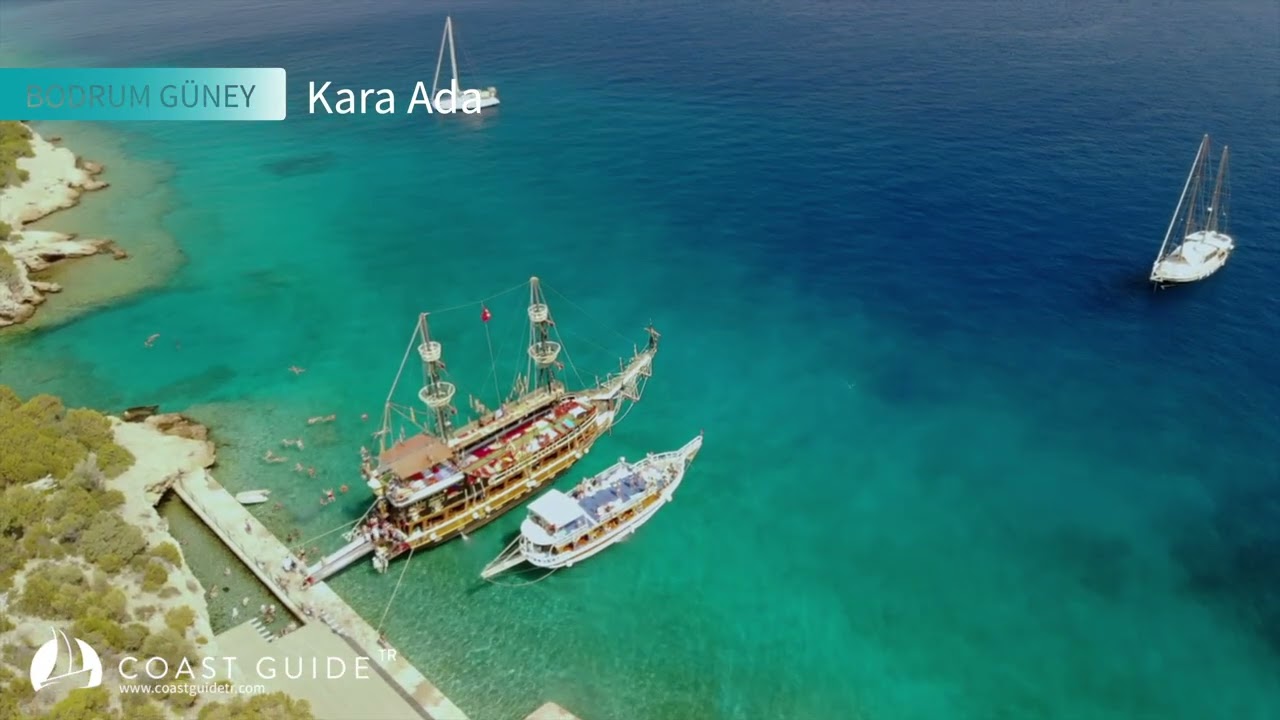
Within our system, we will address the area that we designate as "Southern Coast of Bodrum Peninsula" and whose characteristics we have compiled; as a 43-mile coastal strip extending from Hüseyin Burnu (36°58' N - 27°15'9" E) in the west to Akbük Harbor (37°01'50"N - 28°06'23"E) in the east.
You will not find in our recommendation and information table some points that are difficult to approach and shelter at, and do not allow mooring for yachtsmen. You will find the places that we know, have tested, and can recommend.
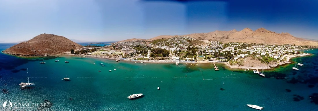
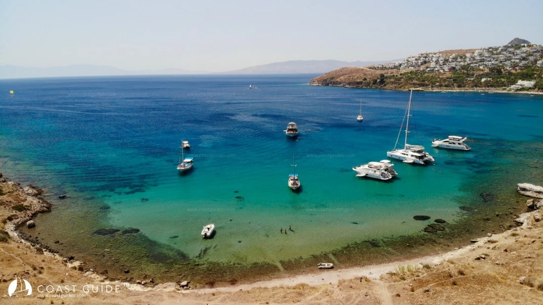
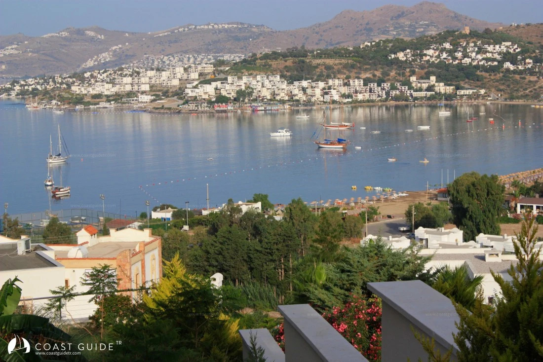
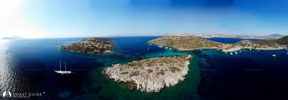
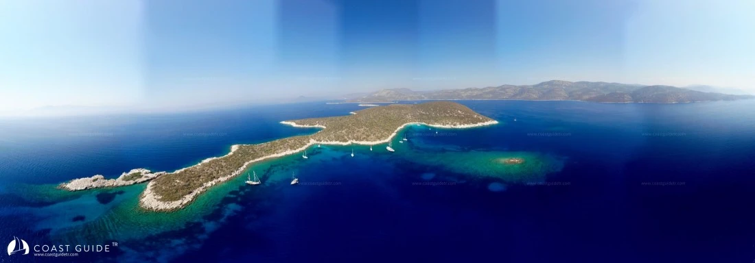
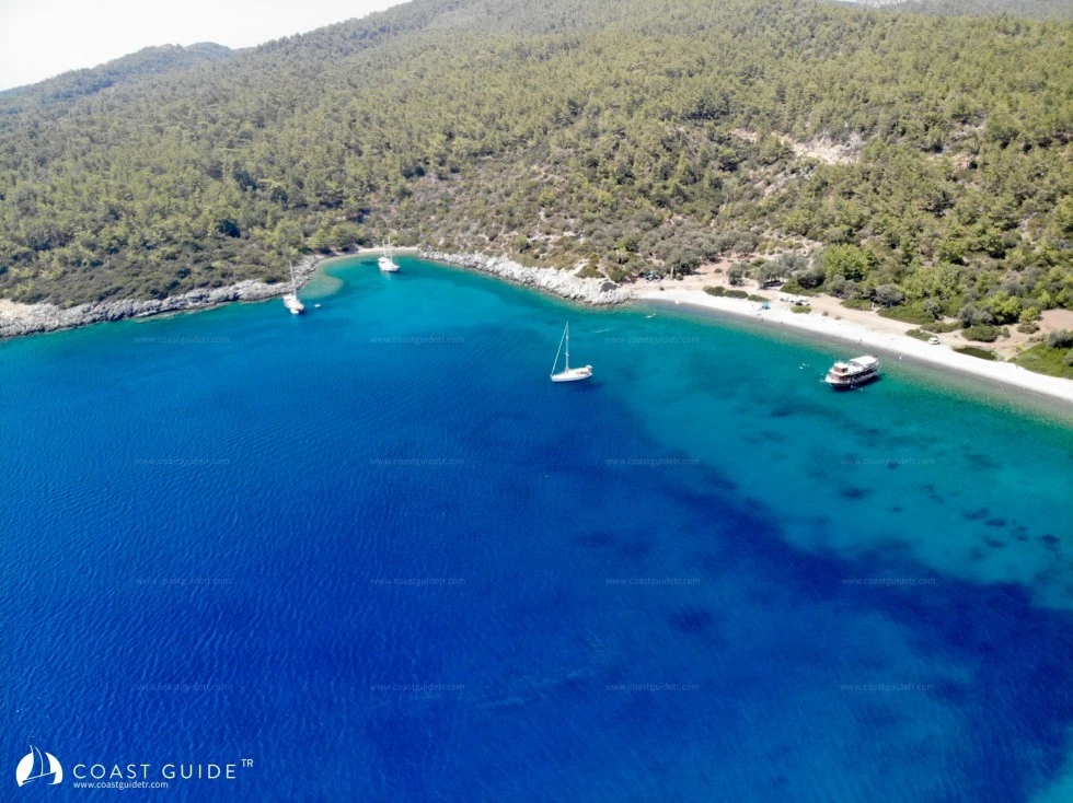
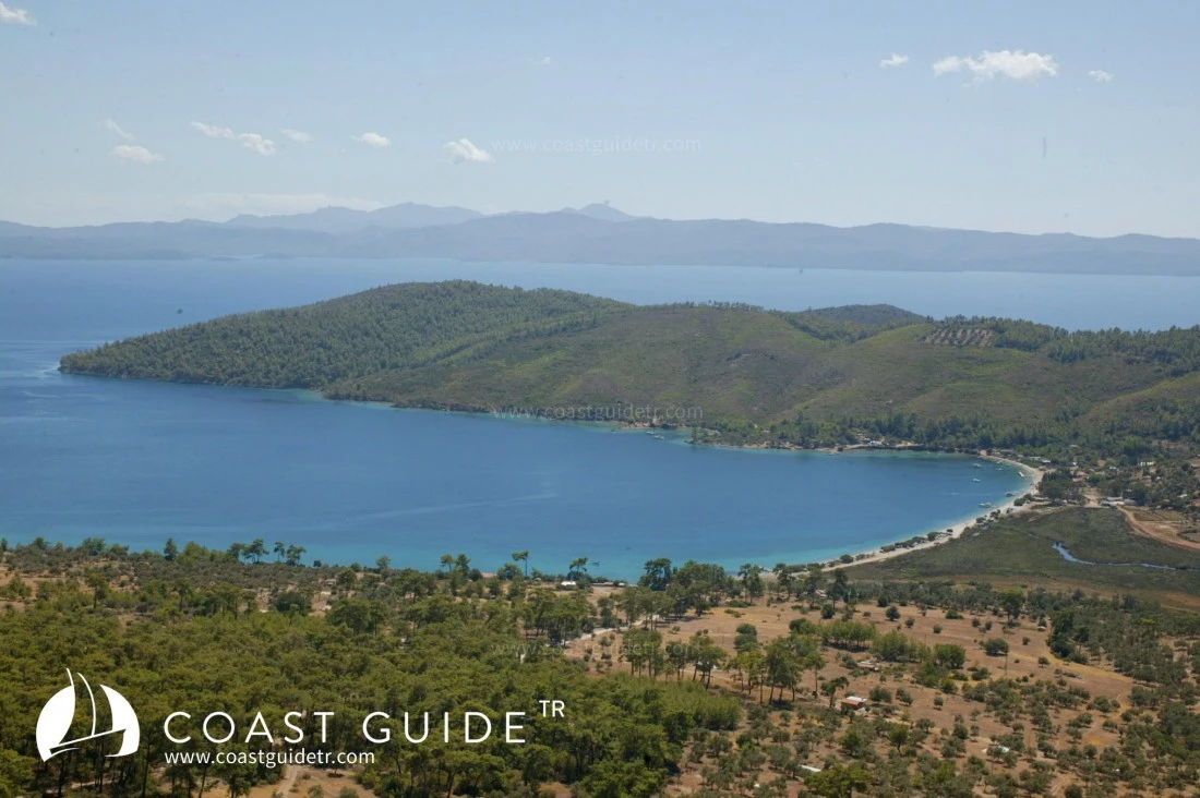
This coastal strip consists of south-facing coves. For this reason, while it is sheltered from north winds, it is exposed and unprotected from south winds. Especially during voyages to be made in spring and autumn, it is beneficial to keep this fact in mind, to monitor the weather, and to plan mooring accordingly.
The mountains north of the 10-mile coastal strip from Hüseyin Burnu to Bodrum rise considerably after Bodrum. Winds come from the west until Bodrum and from Güllük Bay in the north, descending from bare hills. They also descend as squalls from the mountains rising to the east of Bodrum.
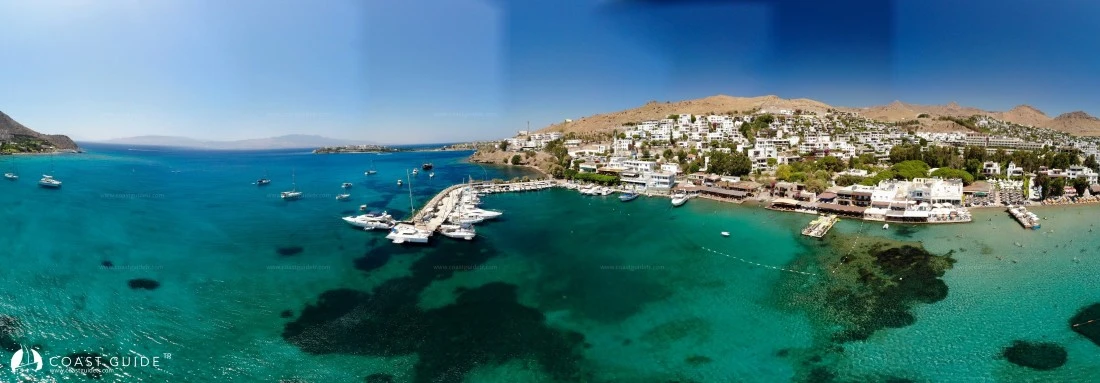
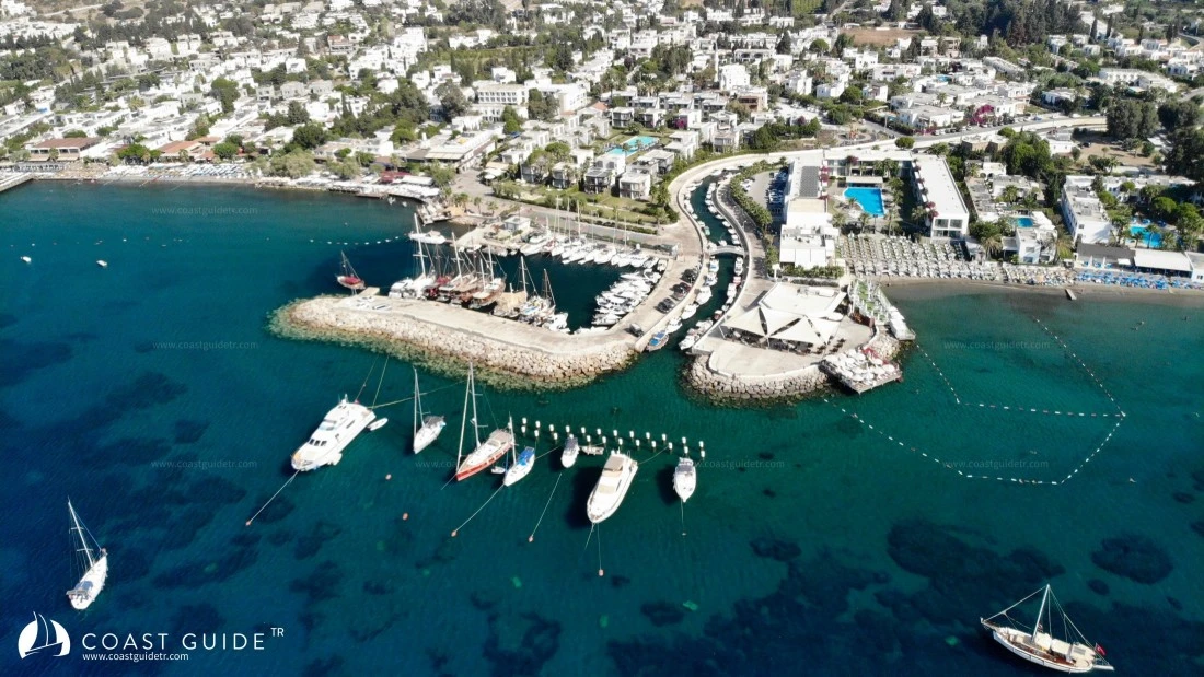
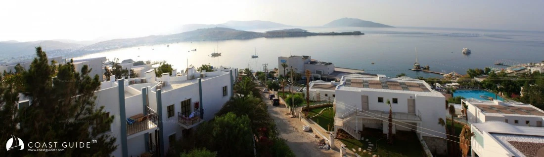
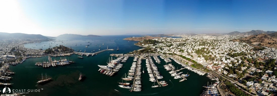
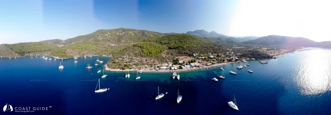
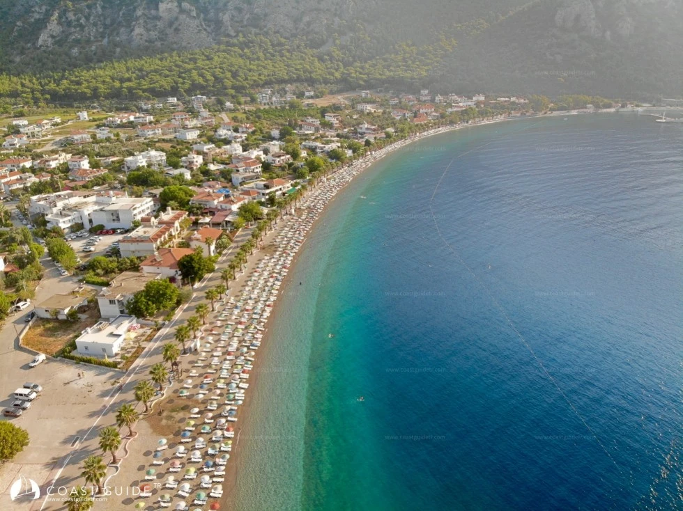
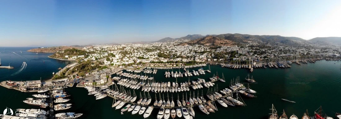
Until Bodrum, all places to stay are within intensive development. When viewed from the sea, typical white Bodrum structures have already covered all bare slopes.
Many tourist facilities are also on this coast. There is considerable traffic of daily tour boats. However, the cleanliness of its sea, the beauty of its air, supply and maintenance-repair facilities, entertainment and lively lifestyle opportunities still make this coast attractive for those who desire it. Generally, it is a different, distinct option for yachtsmen who prefer tranquility.
Its historical sites, being the center of underwater archaeology, the beauty and diversity of diving spots, and the abundance of air, sea and land transportation facilities make the region different from others.
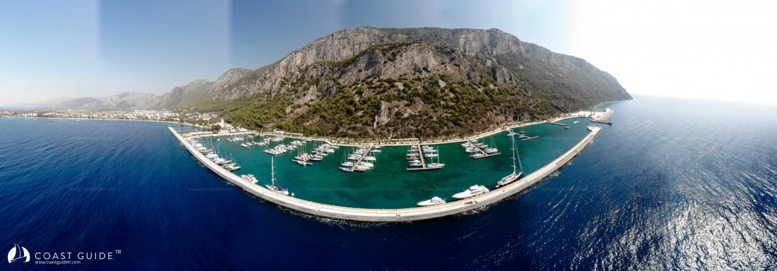
Both marina, shelter, and haul-out facilities are quite abundant. It has the capability to find all types of yacht equipment. The security network of Coast Guard, Gendarmerie and Police is quite extensive. Private maritime security units are also in this region. Due to its wind characteristics, it is the region where the most yacht and sailing races are organized.
It is a safe strip where health centers, hospitals, pharmacies and even ambulance boats provide service.
It is the starting point and an important center of yacht tourism in Turkey.
METEOROLOGY:
Mediterranean climate prevails on the coast. The annual average temperature is around 20°C. In July and August, this temperature rises to 32°C to 34°C. Although the temperature does not fall below 10°C in winter, it is rainy and mild in winter, and dry and hot in summer.
The sea temperature averages around 22°C. In August and September, the sea temperature rises to 24°C to 26°C. The Lodos wind blowing in winter and summer season acts as natural air conditioning in summer. Humidity rate is at minimum level, oxygen rate is high.
Winds:
Spring : Prevailing wind direction, SOUTH
Summer : Prevailing wind direction, NORTH-NORTHWEST. 2nd Direction, SOUTHWEST
Autumn : Prevailing wind direction, NORTHWEST. 2nd Direction, SOUTH-SOUTHWEST
Winter : Prevailing wind direction, SOUTH
CHART: 311
Ambulance Boat:
VHF 73, - Tel :0252-319 15 15)
Maritime Search Rescue and Emergency Aid Team:
Provides 24-hour service between Gümüşlük-Orak Island-Knidos.
VHF 73 – Tel : 252 316 18 60-66
Video