Kara Island
Northwest Lighthouse: Fl(2) 5s 7M
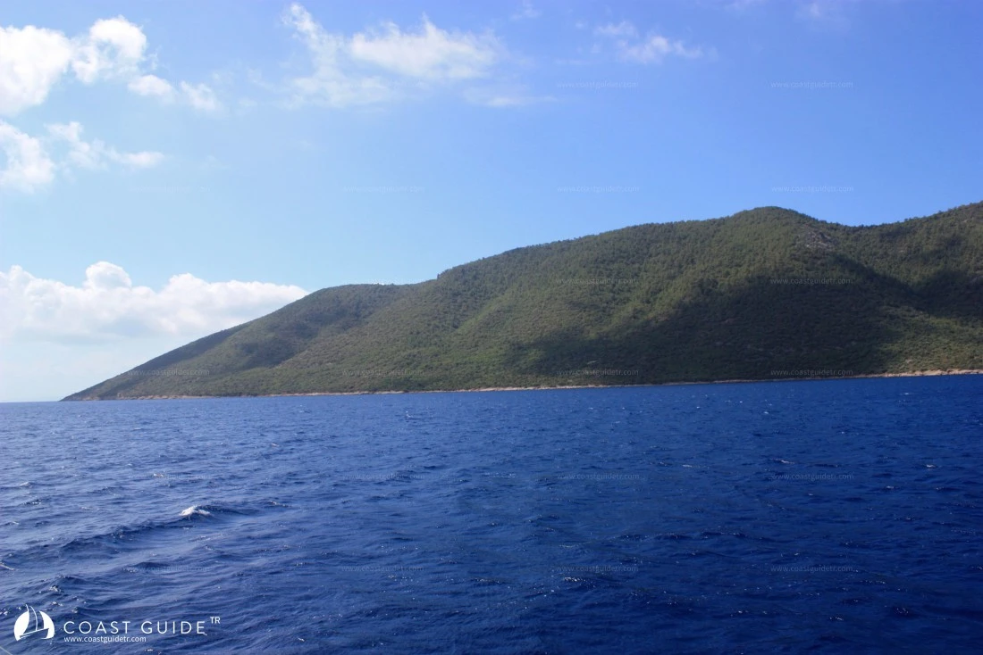
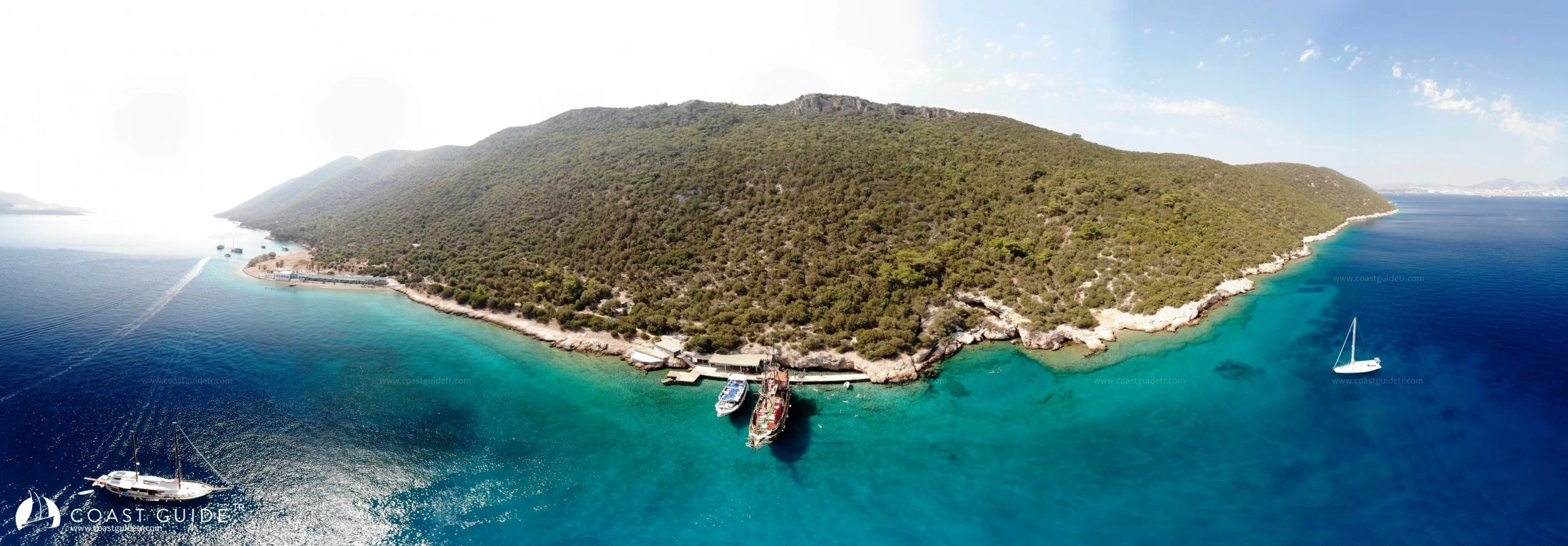
It is a green island, true to its name, covered with pine trees and shrubs, extending 3.6 miles in the direction of the anchorage, 2 miles south of Bodrum.
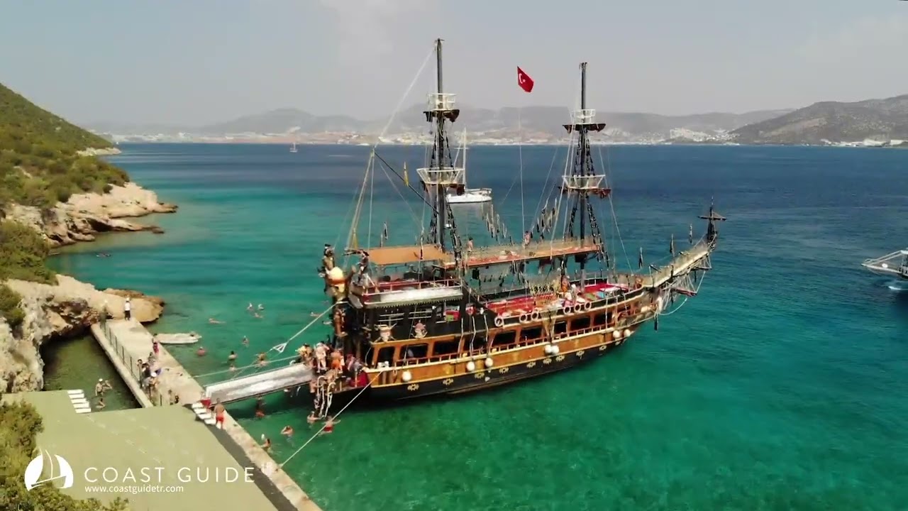
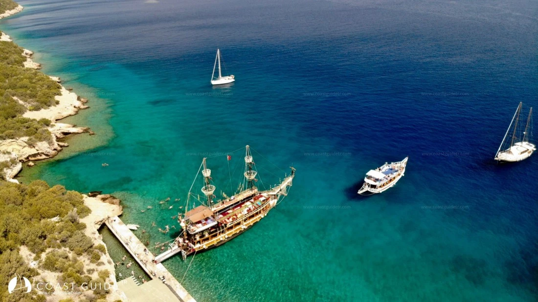
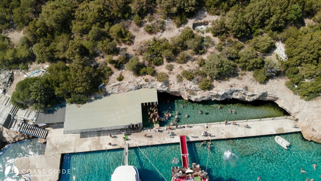
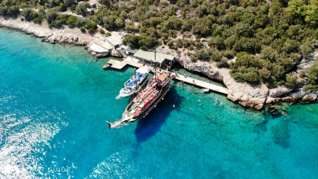
Although there are some small landing piers and facilities on the north side of the island, it is not a place to shelter except in calm weather as it is exposed to Bodrum's prevailing north winds. There is a sulfurous thermal spring in the north. Hot waters flow into the sea. In suitable weather, anchor can be dropped at 7-8 meters on sandy bottom opposite the spring (36°59'08"N - 27°27'09"E).
There are a few anchorage points on the southern parts of this island facing Kos Island. However, the southern part of the island is a diving area for divers from Bodrum. The clarity of the water, bottom structure, gradual depths, caves, and the Coast Guard boat sunk in recent years measuring 29 meters in length with one end at 17 meters and the other at 26 meters depth, and the C-47 DAKOTA aircraft lying between 17-25 meters, and the PINAR-1 military tanker measuring 37 meters in length lying between 18-36 meters have inevitably made this area a diving zone.
An underwater ceramic exhibition is even held every year in KAÇAKÇI COVE (36°57'02"N - 27°28'50"E), which is a small bay. After one or two boats arrive early in the morning, it becomes impossible to enter this cove.
East of this cove is the sheltered and spacious POYRAZ HARBOR (36°57'54"N - 27°27'44"E). In this cove, which is sheltered from the meltemi, anchor is dropped at 7-8 meters in sand and stern lines are taken. The interior experiences gusts.
Going 1 mile further east, ADALI COVE (36°57'39"N - 27°28'50"E), north of the small Yassı Rock, is also closed to the meltemi. Anchor is dropped at 5-6 meters on sandy bottom. The area around Yassı Rock is a diving area full of fish.
There are 8 magnificent dive sites at Kara Ada. These dive sites bear interesting names such as Smugglers' Cave or Bubble Cave. Although the anchorages around the island are shallow, all divers are required to dive with a registered dive guide.
When navigating south of Kara Ada, it is advisable to pay attention to divers and warning buoys in areas close to the shore.
Marine Chart
Initializing...
Weather
Video