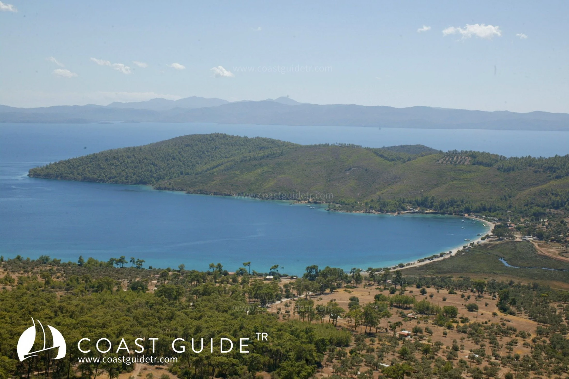
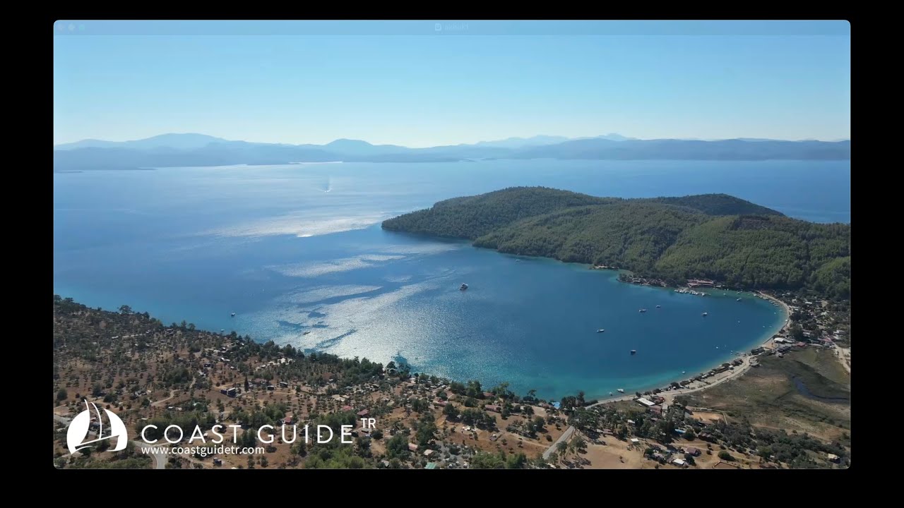
Akbük
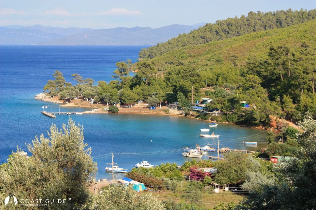
It is located at the foothills of the lush green Çıkın Mountain, which is 951 meters high and covered with dense forests, north of Akbük Cape. It is a wide and quite deep bay. It curves and enters towards the west. At the end of the bay, anchor is dropped at 10-15 meters depth in the area where the bottom structure is sand and seaweed.
Although the bay is sheltered from meltemi, northerly and southwesterly winds, it is exposed to southern winds. It is known as a location where the famous kıran winds prevail. The slopes of the mountain are also called "Kıran Coast". If the northeasterly wind blows during the day, if the humidity drops, if the clouds start flowing south, it means kıran is coming.
The area where the piers are located must be abandoned immediately, and it is necessary to drop anchor long to the north shore and take shelter.
At the entrance of the bay, although there are many coves along the western shore strip, these are shallow. However, at the entrance, the cove right behind Akbük Cape (37°01'10"N-28°06'48"E) is a place where stern-to mooring is possible despite its deep water. The back is forest. The sea is crystal clear. Daily tour boats departing from Çamlı Harbor, Karacasöğüt and Akyaka stop here during the day.
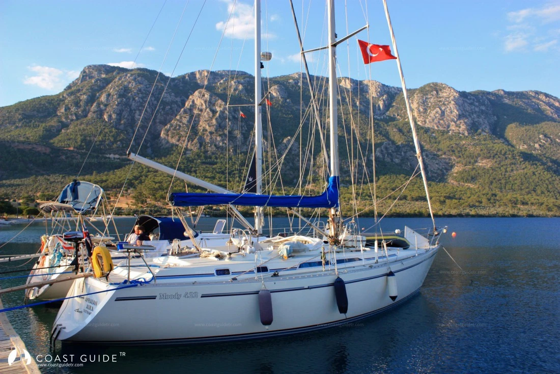
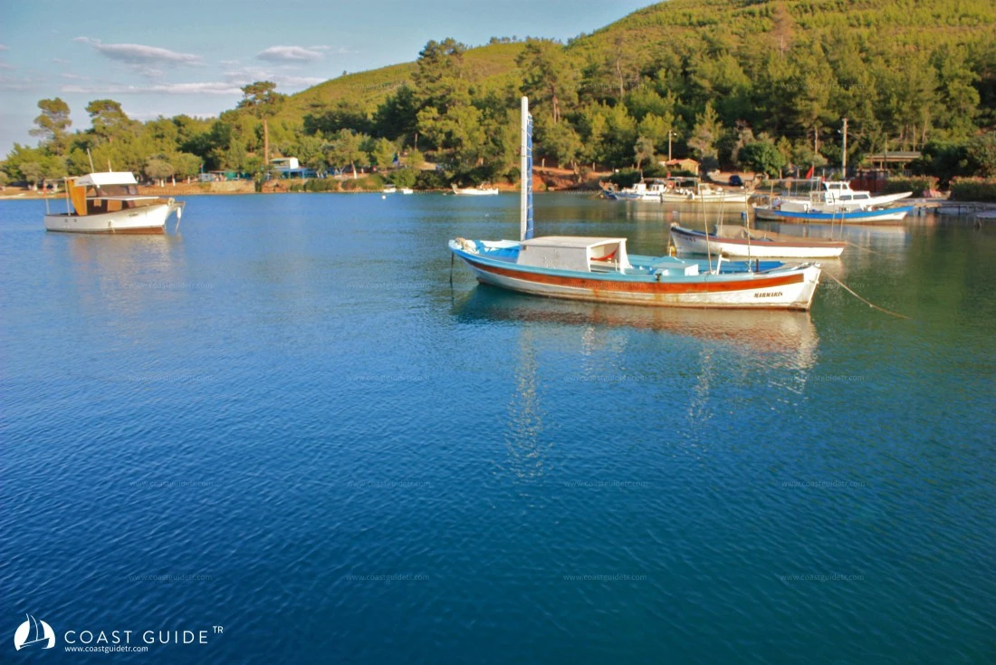
Inside Akbük Harbor, restaurants have piers. These have berths, and electricity and water are provided. All kinds of necessities can also be found in the restaurants' markets.
From behind the beach, a road winds into the forests. This road connects Akbük through the ridges of the mountains, through the forests, to Yerkesik at 35, Ören at 25, and Akyaka at 25 kilometers distance.
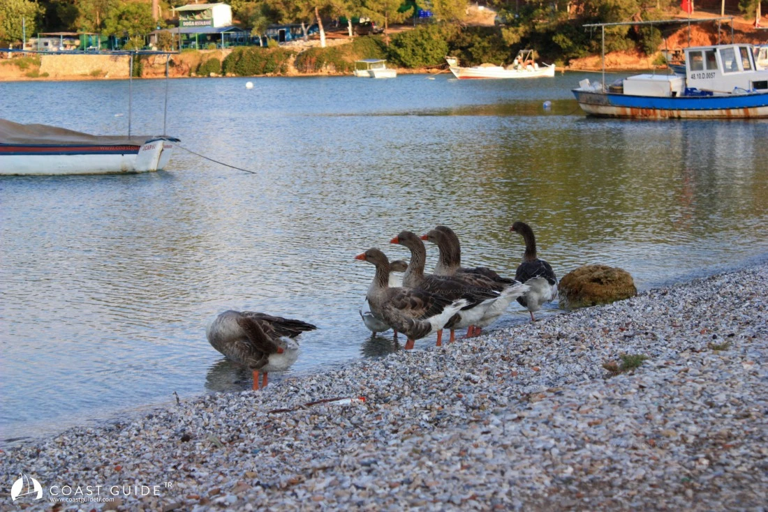
Through the reeds, a stream flows into the sea at the beach section. A small fish trap has formed at the end of the stream.
Akbük looks very beautiful from the slopes of high mountains, especially at sunset. Your camera will capture excellent shots through the pine forests.
Since Akbük is a special protection area, there is not much construction.
Marine Chart
Initializing...
Video
Capture the beauty of this bay with your photos
Comments
Anchorage, depth, wind protection... Your experience guides fellow sailors