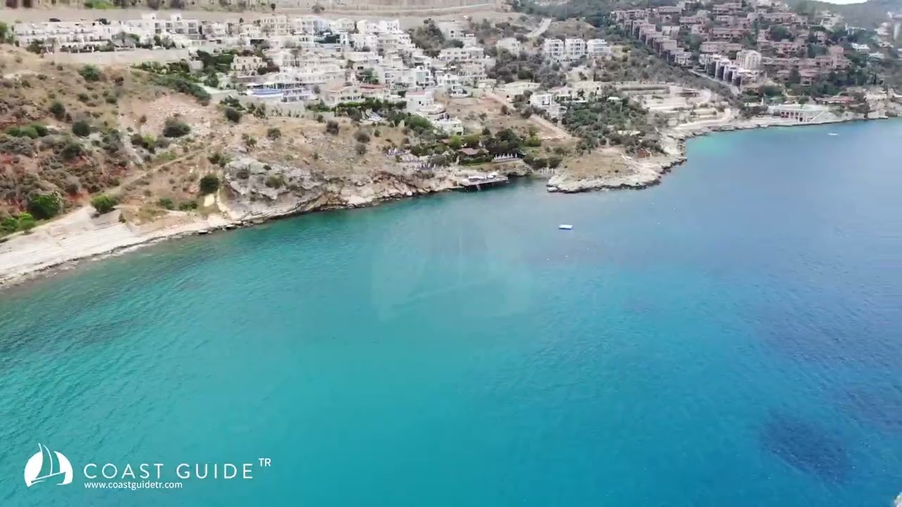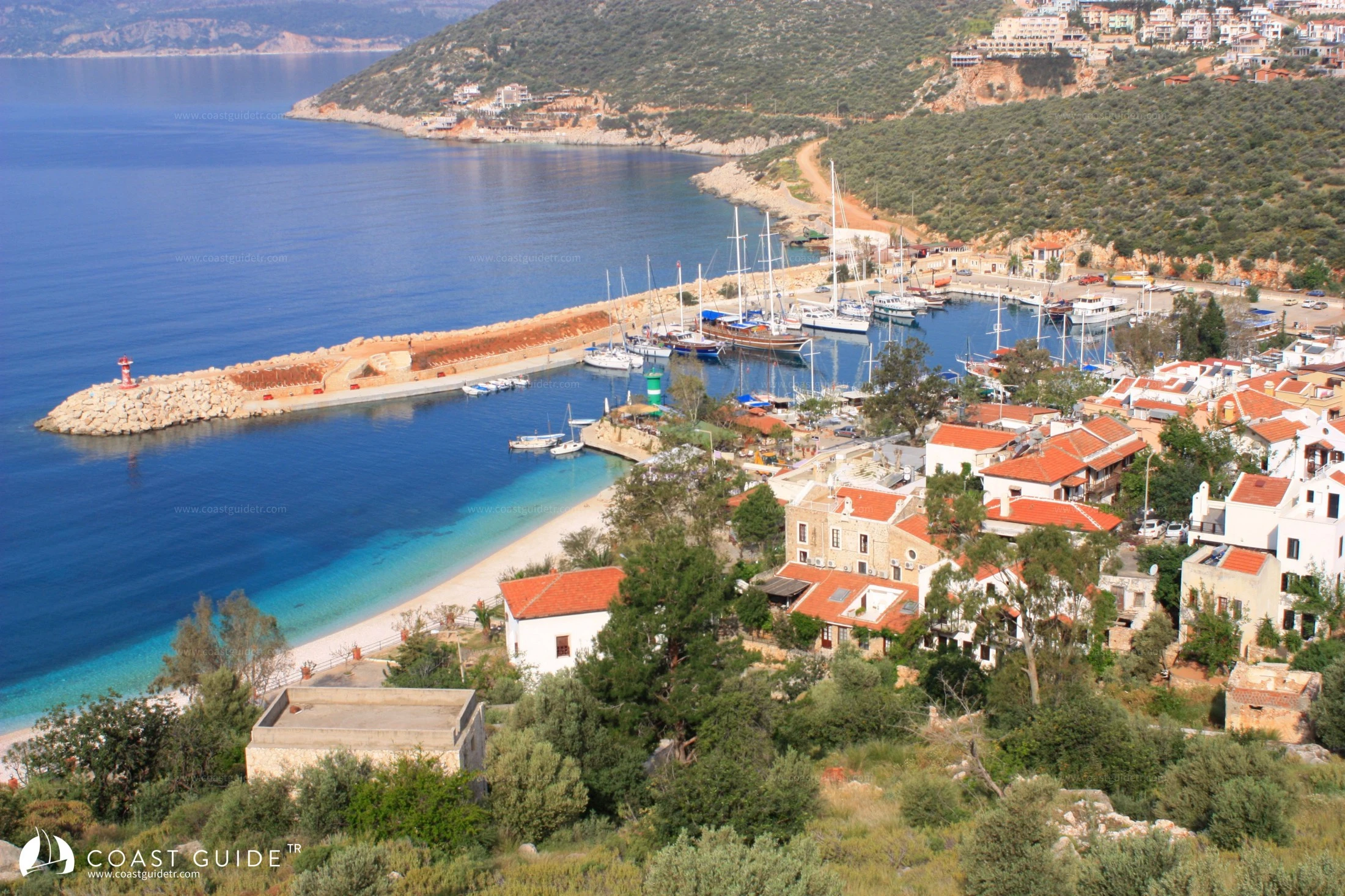
Kalkan
Lights:
Main Breakwater head F.R
Secondary Breakwater head R.G
Contact; 0242-844 31 35 / 0539-939 07 08
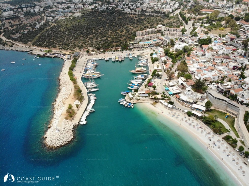
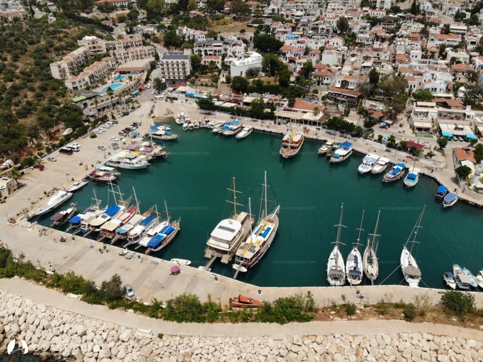
It is located at the northeast corner of Büyük Kalkan Bay. Protected from southern weather by a sheltered breakwater. At the entrance, Red and Green lights at the breakwater heads guard the harbor and guide mariners.
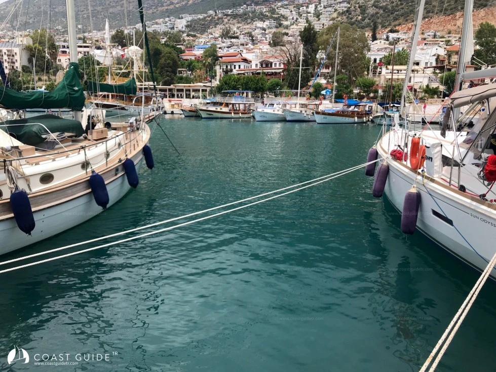
In the harbor where 75 boats of various sizes are moored, 30 boats can be moored excluding the marina's permanent boats. The marina is narrow inside, with depths between 5-9 meters. Apart from the shallowing in front of the haul-out area at the end of the marina which small boats can use, there is not much problem in terms of depth.
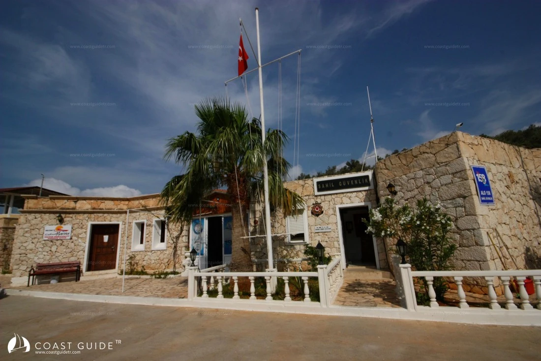
The only issue that will be experienced is anchoring and weighing anchor. Anchors dropped and weighed in the narrow area generally create problems. There is no tonnage in the marina. Water and electricity connections are provided. Inside the harbor operated by Kalkan municipality, there are showers, toilets, laundry facilities and a Coast Guard station. Vessels entering the marina can call Kalkan harbor on VHF 16 (Contact; 0242-844 31 35 /0539-939 07 08).
A sewage discharge unit is available in the harbor. The town has a treatment facility. The harbor, which is closed to the south, occasionally receives downpours from the high mountains. A fuel tanker definitely comes to the harbor in the evenings. Otherwise, if called by phone, your fuel supply can also be realized.
Diving boats in the marina can take you to wrecks lying in the shallows within Kalkan Bay and to different dive sites. You can dive in waters where visibility is very clear.
In the embrace of high mountains, supply possibilities are abundant in the harbor inside Kalkan town.
In Kalkan, there are hospitals, health centers, pharmacies, cargo companies, branches and ATMs of all banks. Right above the harbor, there are beautifully decorated restaurants, bars, and shops.
The narrow streets and scenery in these areas are worth walking through and viewing. Steep slopes take you to Kalkan's high hills and panoramic viewpoints, but not in the middle of a hot day.
There are also large shopping centers here and they deliver the provisions you purchase to your boat. Thursday is Kalkan's public market day. Fresh fruits, vegetables and dairy products can be obtained from here.
By road from Kalkan, Fethiye is 83 km and Kaş is 26 km away. Three cities of the Lycian civilizations - Xanthos, Letoon and Patara - are 30 km from Kalkan. Minibuses or taxis can be used to go to the unique 18 km historical beach and historical sites.
Kalkan is a place where British citizens live in high concentration. There are even restaurants, bars and shopping centers owned by the British.
Marine Chart
Initializing...
Weather
Video