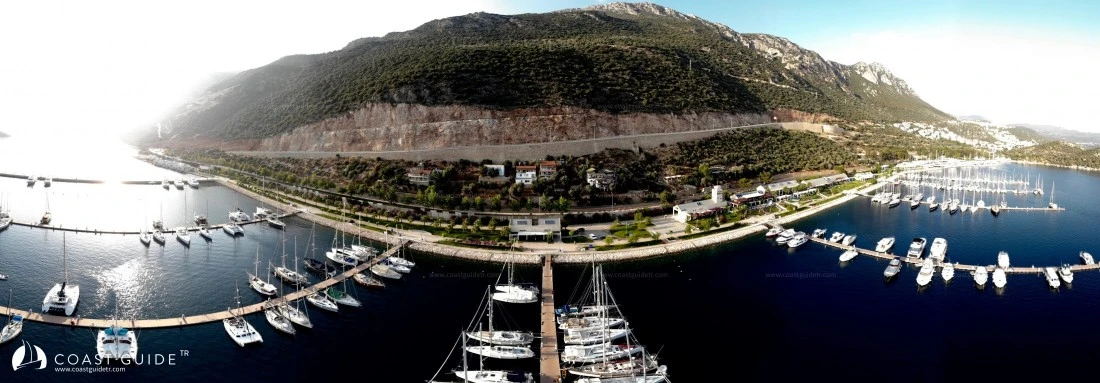
Ölüdeniz - Kekova
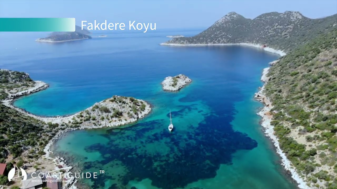
Under this heading; we will address the sheltered coves and ports in the region encompassing Ölüdeniz (36°33'20"N - 29°04'04"E) in the west and Asar Cove (36°09'5"N - 29°47'E) in the east.
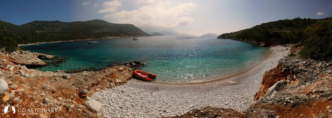
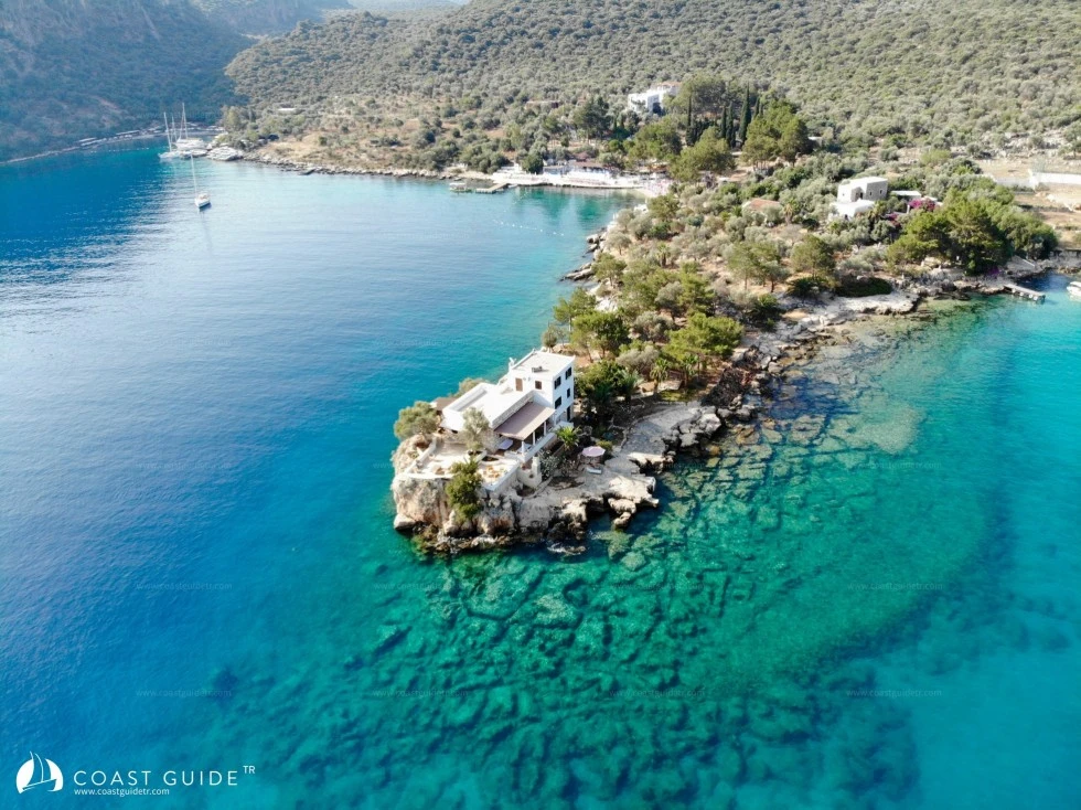
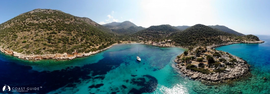
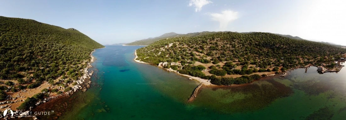
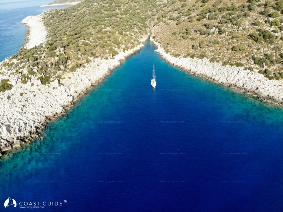
It is a region whose coasts are surrounded sometimes by high mountains and sometimes by endless beaches. The region we will address begins with Yediburunlar, famous for its seas.
The capes, starting with Kötüburun (3633 4 N – 29 06 2 E) Lighthouse (Fl(2) 10s 28m 12M), continue with Sancak Cape, İnkaklık Cape, Yassı Cape, Kılıç Cape and Zeytin Cape (İnceburun).
From the mountains reaching 1,000 meters behind these capes, winds descend from the northerly direction and create rough seas. It is advisable for vessels navigating in these areas to prefer early morning hours.
To the east of Yediburunlar, the endless Patara Beach, 7 miles long, begins. In this area the mountains have disappeared. Along Patara beach, depths drop to between 10-20 meters. Eşen Stream, which flows into the sea from the middle of the beach, creates shoals in front of it that drop below 10 meters.
Patara beach is a nesting area for caretta sea turtles. The region is both within the scope of a Special Protection Area and is a SIT area.
On the eastern side of Patara beach rises Eren Hill at 500 meters height. The Aero Beacon (Fl.r) and television antennas located here are prominent landmarks.
At the end of Eren Hill, Çatal Islands are located. There is a lighthouse on Yılan Island (Fl 5s 76m 5M)
High mountains continue in the Kalkan-Kaş region. Half a mile south of Kalkan İnceburun, Sakarya Shoal is located. In this area where the depth drops to 6 meters, two wrecks lie, and diving centers departing from Kalkan conduct dives here in calm weather.
Between Kalkan and Kaş, the marked Kaptanoğlu Rock is located. It is on the sailing routes.
On the Kaş-Kekova route, in front of Meis Island, there are islands and rocks of various sizes. All of these are clearly visible on the charts.
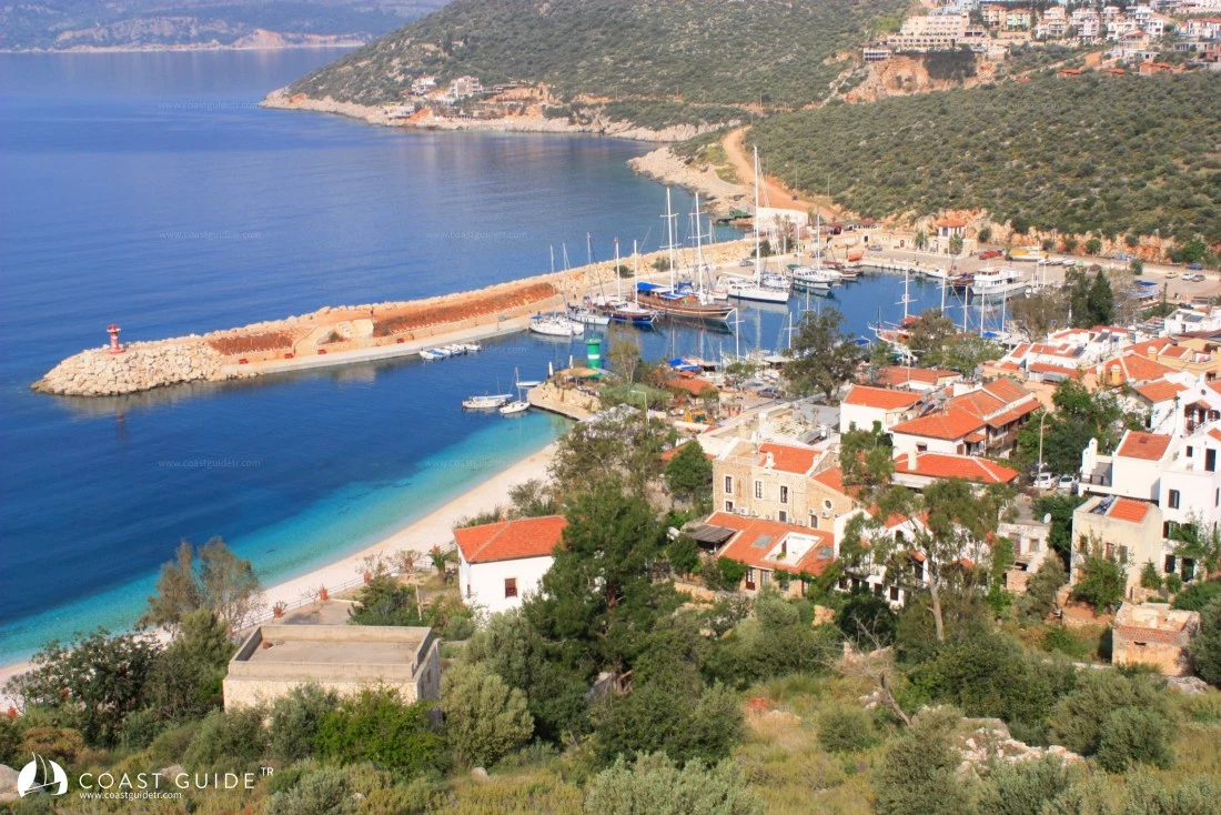
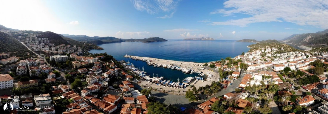
In the region we are covering, health, safety, and shopping facilities are available. There is 1 marina and 2 harbors in the region. Yacht supplies are available. Everywhere is literally full of historical ruins.
The average precipitation in the region is 782.9 mm. This value is high compared to the Turkey average (Turkey average is 638.9mm). In the monthly distribution, the highest precipitation is in December with 181.9 mm. Looking at the annual averages, it is seen that the most prevailing winds are from WSW (West Southwest), NNE (North Northeast), and ENE (East Northeast) directions.
The average seawater temperature is 21.3 °C. The month with the warmest seawater is August.
In the region, which has hot and dry summers and mild and rainy winters, in short, showing characteristic Mediterranean climate features, annual average temperatures have not fallen below 12.3 °C.
This region is a very important area for diving tourism. Due to seawater temperature, visibility, temperate climate characteristics, and different diving sites, diving tourism is active 12 months a year.
Important diving sites: Flying Fish, Canyon, Neptune Reef, Lycian Wreck, Fener Point, Besmi Reef, Gürmenli Island, Gürmenli Rocks, Güvercin Island, and Uluburun Wreck.
Due to the favorable structure of the high mountains, Paragliding activities are very active in the region. Unique views are obtained while flying with Paragliding. Mountains, islands, islets and the unique tones of the sea.
With the calm nature of the sea in the region, Canoeing has also developed, tours are organized only for this sport, and events are held.
Regular sea voyages are made to Meis Island opposite Kaş Town.
The region is connected by road to International airports and all parts of Turkey with the most modern structures.
Locations to be considered;
1) On Kaptanoğlu Rock, 2 miles southeast of Heybeli Island, 1 mile offshore from the coast, there is 2.5 meters of water. The location is marked with a buoy
CHART:
313- 321-3211-3131
236-241 B.Adm.
Video