Marmaris - Point Kurdoğlu
Under this heading, we cover the sheltered places between Kütük Point (36°47'31"N-28°18'61"E) located southeast of Yıldız(Nimera) Island and Kurdoğlu Point (36°35'61"N-28°50'05"E) south of Kapıdağı Peninsula.
High mountains, low mountains, those perpendicular to the sea, those parallel to it, lush green ones covered with forests, those roughened with bare rocks. Flat areas, streams, islands, islets, rocks, debris, shoals. Places where it blows calmly, locations that become turbulent, moderate waves, fierce ones...
Like 4 seasons, whatever you seek, whatever you want exists. Seas where you may also encounter what you don't want.
Just east of Kütük Point, one enters the Yalancı Boğaz area. In windy weather, this place produces even more wind.
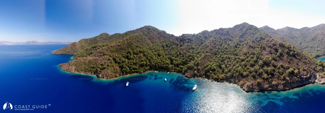
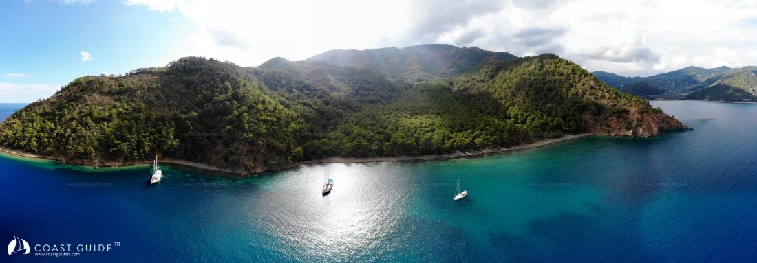
When Yalancı Strait ends, high mountains descending perpendicular to the sea begin. These are bare areas except for scattered pines. On this coast, Devetaşı Rocks (36°47'180"N-28°22'904"E) are located. Attention must be paid to these dangerous rocks and their debris.
Also in the same area, 2 miles west of Yılancık Island, there is Turnalı Rock and its debris. There is 1 meter of water over this debris spread over a 40-50 meter area.
Karaağaç Harbor behind Yılancık Island is a restricted zone. Landing on Yılancık Island is also prohibited. Foreign nationals cannot enter these areas without permission.
After Karaağaç Harbor, high mountains begin again. On this coast, extending from Güdük Point, there are underwater rocks in groups, extending up to 250 meters from the point.
Also, starting in front of Kızıl Point, there are rocks hanging parallel to the shore extending to Köyceğiz Harbor.
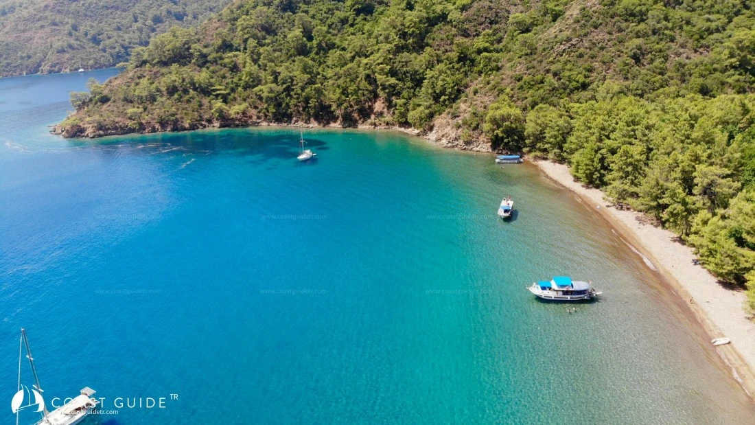
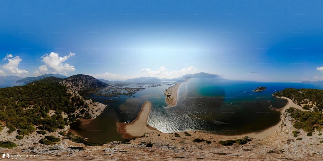
Around Köyceğiz Harbor, the mountains are covered with lush green forests. Behind the world-famous İztuzu beach, in the flat areas, another paradise of the world, the Dalyan channels and Kaunos ancient city are hidden.
After Iztuzu beach, again high bare mountains... This coastal strip generally catches the seas and creates challenging seas with reverse currents, especially off Dişibilmez Cape. There is only one bay in the region to take shelter. In navigation in this area, if weather conditions are not good, it is beneficial to navigate the capes far from the coast. Incoming waves, waves returning from the coast, reverse current, do not come one by one, they all load at once
The mountains end at Karaburun, the vast Dalaman plain, 6.5 miles long, begins and aircraft landing and taking off from Dalaman International Airport pass over you.
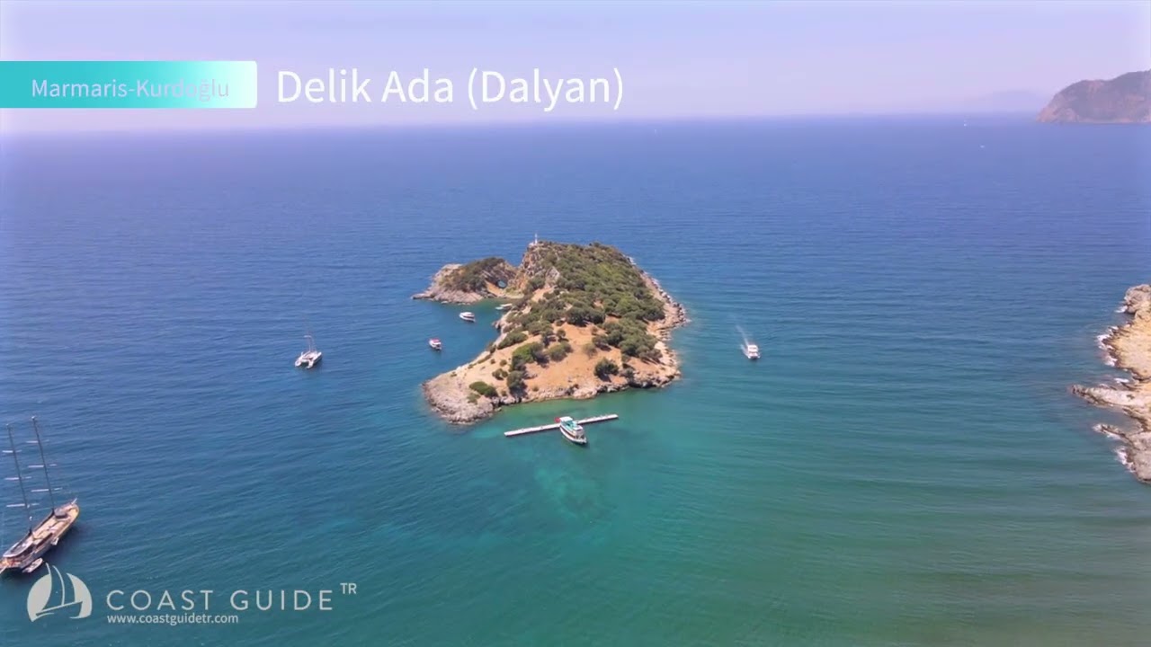
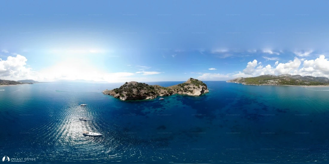
When the Dalaman plain ends, it means we are approaching Göcek. Mountains begin, again turning the waves. Two small islands say to yachtsmen "Welcome to Göcek". These Islands are generally not suitable for shelter. However, in suitable weather, they are very beautiful spots for diving. Diving school boats departing from Fethiye and Göcek occasionally dive here. Under their guidance, you can dive to these islands that have found their place deep underwater.
We have arrived at Kurdoğlu Cape. Attention must also be paid to the underwater rocks extending from this cape.
In this region, which we will go into details, although limited, there are facilities in terms of supply, health and safety.
Winds start as Meltemi from Marmaris direction, turn west when reaching Köyceğiz Gulf, sometimes entering the bay from the south.
Between Köyceğiz Port and Kurdoğlu Cape, it blows steadily. It is calm in the morning, starts toward noon and continues until sunset. It raises high seas. Even though its strength decreases at night, in the morning these areas still rock boats with their swells.
Actually, the Köyceğiz-Kurdoğlu line is a location where waves are generally taken from the beam. It is beneficial to make navigation on this line in the early morning hours. Those who know this classic regime spend the night in sheltered bays and set sail in the early morning hours.
CHART :
312
1054 – 1644 B,Adm.
Video