From Northern Shores of Kuşadası Gulf to Güllük Gulf
CHART
223-224-2231 C-2231 D
1056-1057 B.Adm.
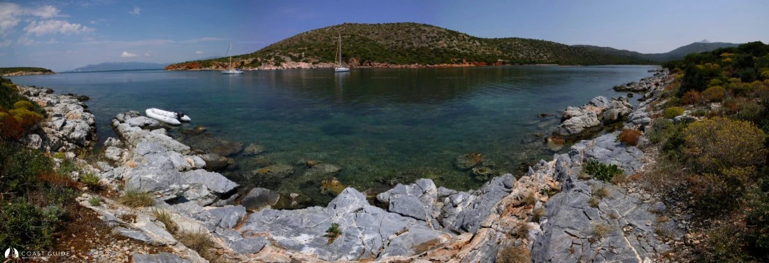
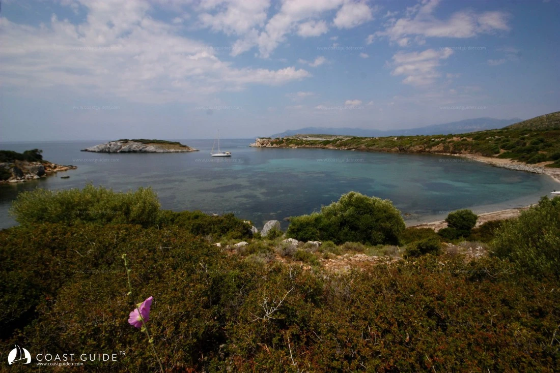
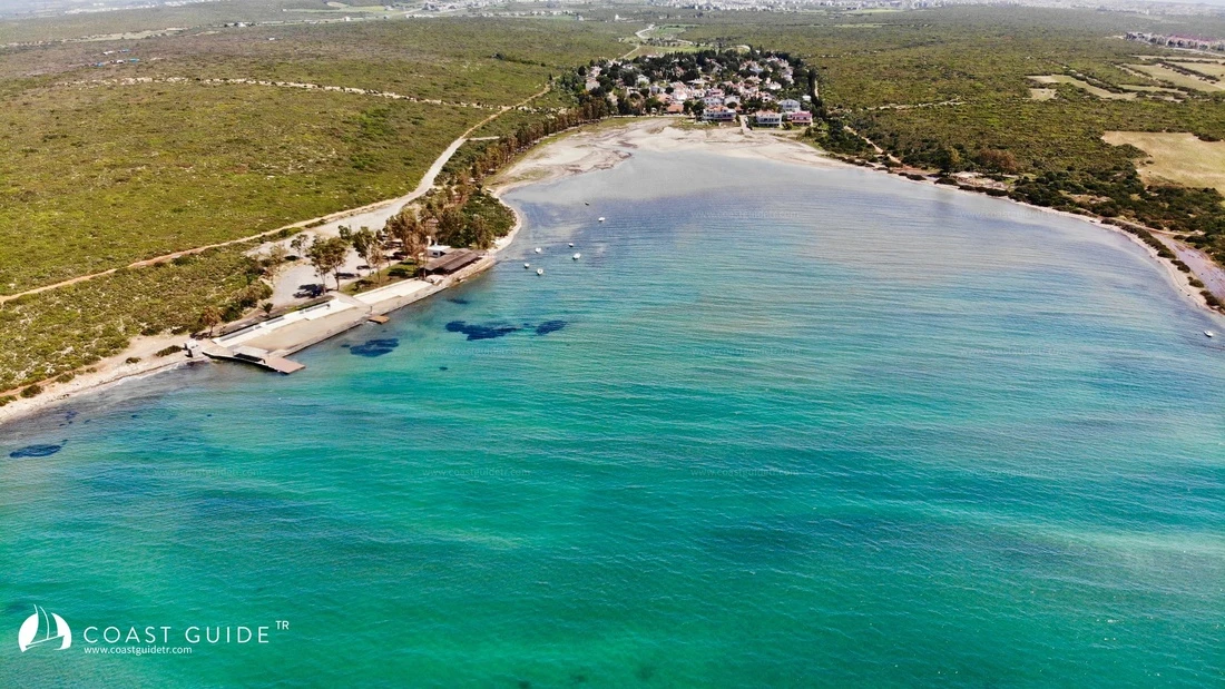
Under this heading, we will cover the waters in the north between Camlimanı Point north of Kuşadası and Tekağaç Point northwest of Güllük Bay.
There is no settlement in the region other than the town of Kuşadası.
In the coastal area; the mountain structure starting from Kuşadası rises above 1,000 meters towards Dilek Strait and continues to the plains where the Büyük Menderes River flows into, on the east side of the strait exit.
These plains were filled in over time by the river westward from Lake Bafa, containing Miletus, Heracleia and Priene, which were important centers of the Ionian League. This filled area extending 15 kilometers inland was once called Latmos Gulf.
To the west of the region is Samos Island and to its south the smaller Gaidoros Island. Between Samos Island and the mainland lies the 4-mile-long east-west oriented Dilek Strait.
The strait is 1 mile wide and has Bayrak Island in the middle.
Wind in the region generally blows from the north. When entering the strait, the wind force intensifies even more due to the funnel effect and creates violent squalls. It becomes particularly violent off Akra Prason. Sudden squalls and adverse currents between high mountains can create challenging navigation moments for vessels. Therefore, when entering the strait, if our sails are open, it is beneficial to navigate taking all these factors into account.
As you go south of Dilek Strait, the squalls lose their effect. In this coastal section, there is no shelter until Tekağaç Point, 20 miles south of the strait.
In the region, except for Kuşadası, there are no supply, transportation, or health facilities.
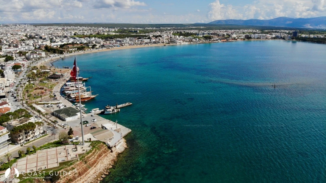
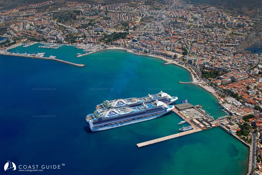
Kuşadası is one of Turkey's most important tourism towns where all these facilities are fully provided.