Gulf of Sığacık – Northern part of Gulf of Kuşadası
CHART.
2235-2231-223
Under this heading, we will cover the waters between Teke Burnu west of Sığacık Bay and Camlimanı Burnu north of Kuşadası.
Sığacık Bay is located between Teke Burnu and Doğanbey Burnu to the southeast. The high capes on the east and west of the bay similarly form the coastline continuing northward.
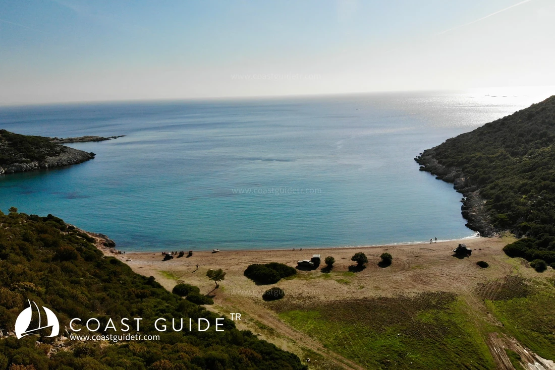
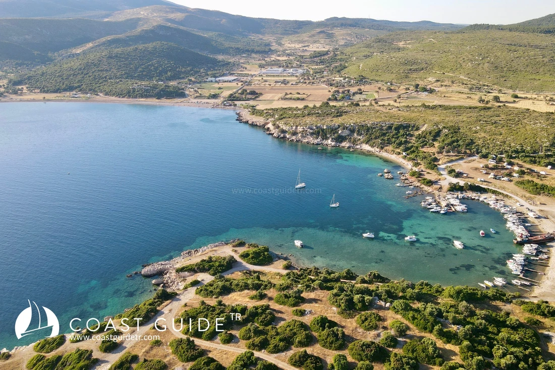
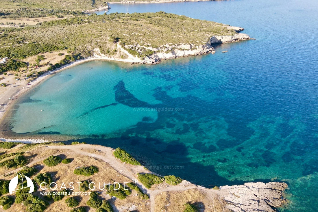
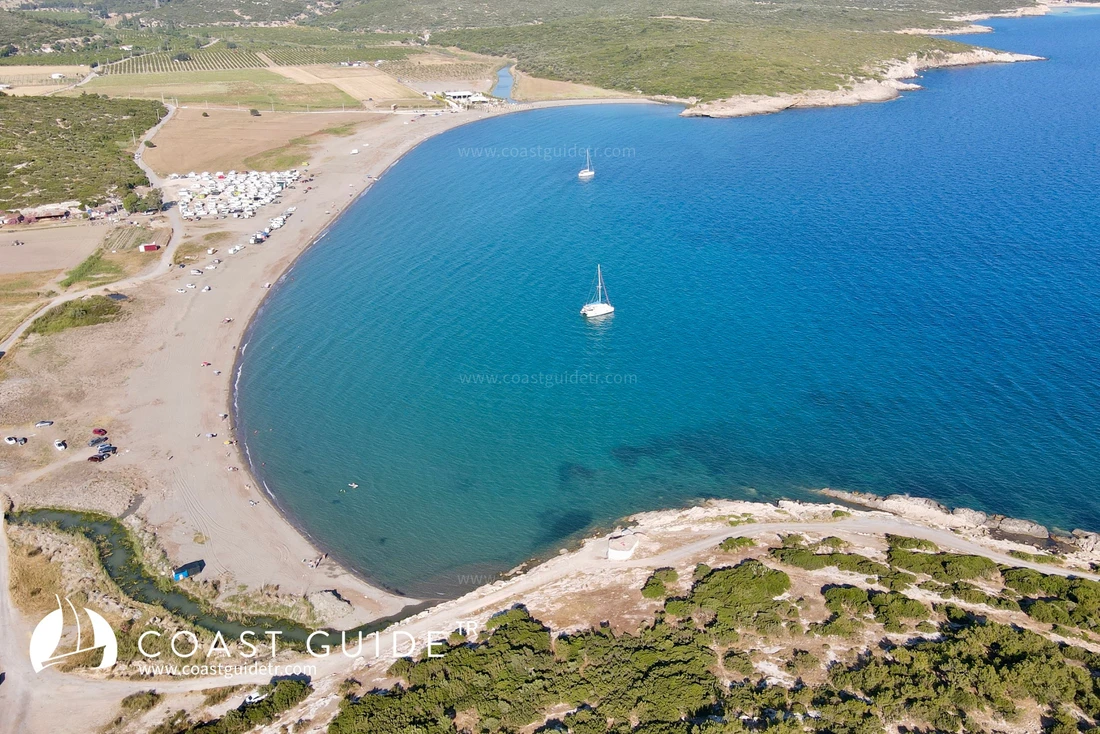
Although there are sheltered and beautiful coves on the western coasts, there are not many sheltered coves on the Doğanbey side. It is an area where summer residences and settlements are located. The historical Port of Teos is also here.
Some coves within the bay are prohibited for boat entry due to security reasons. There is no such situation for the coves included in our system.
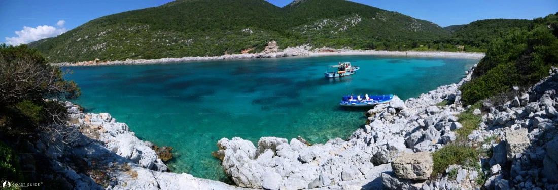
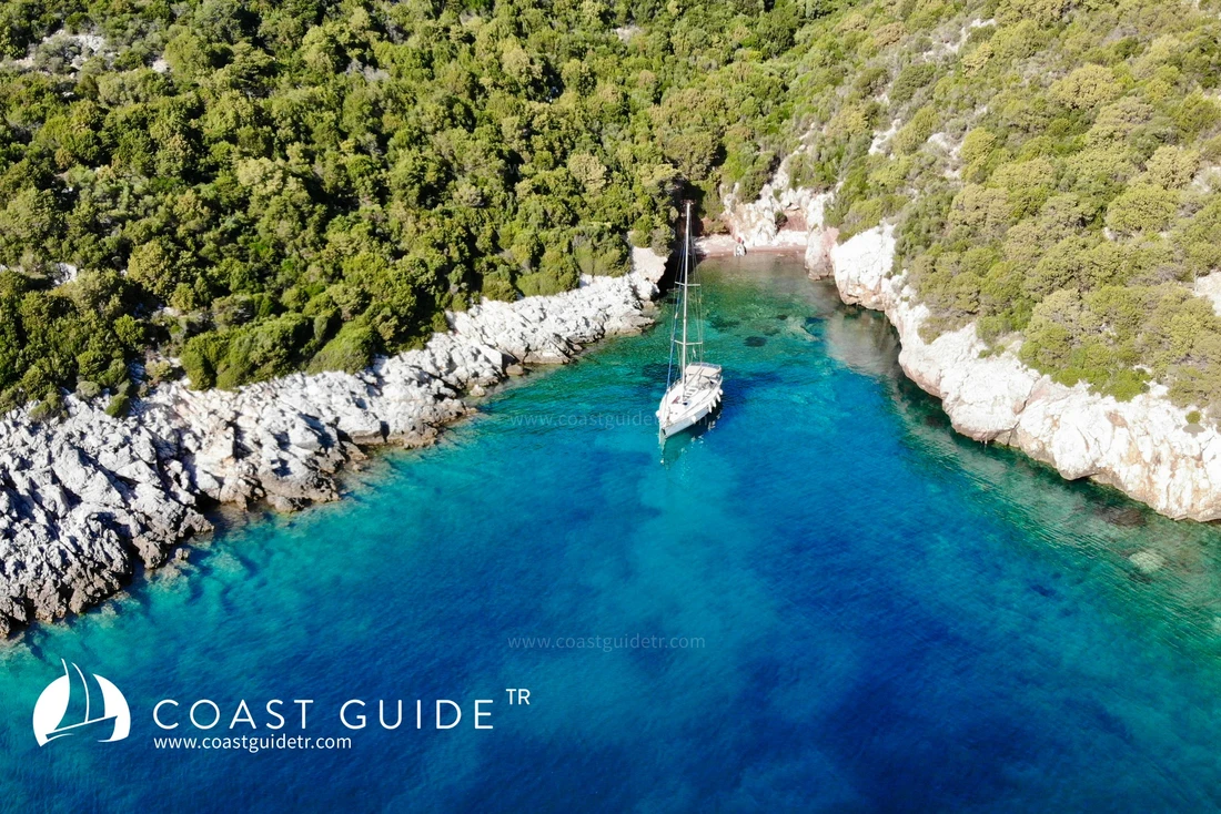
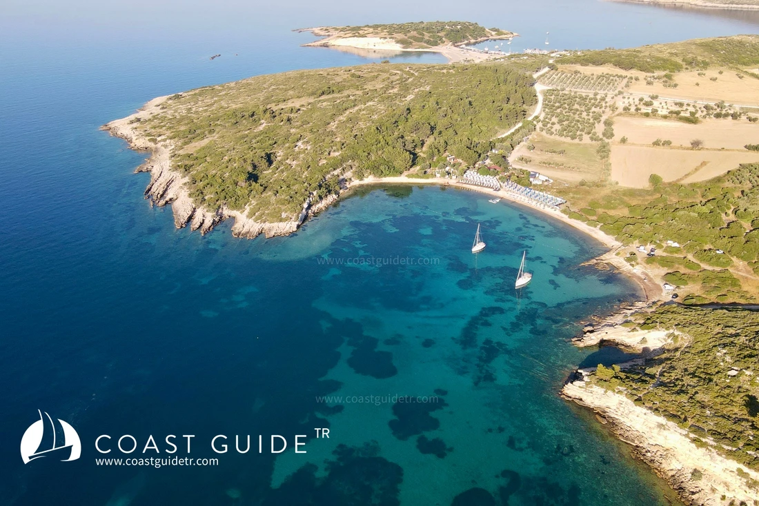
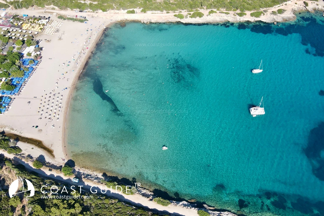
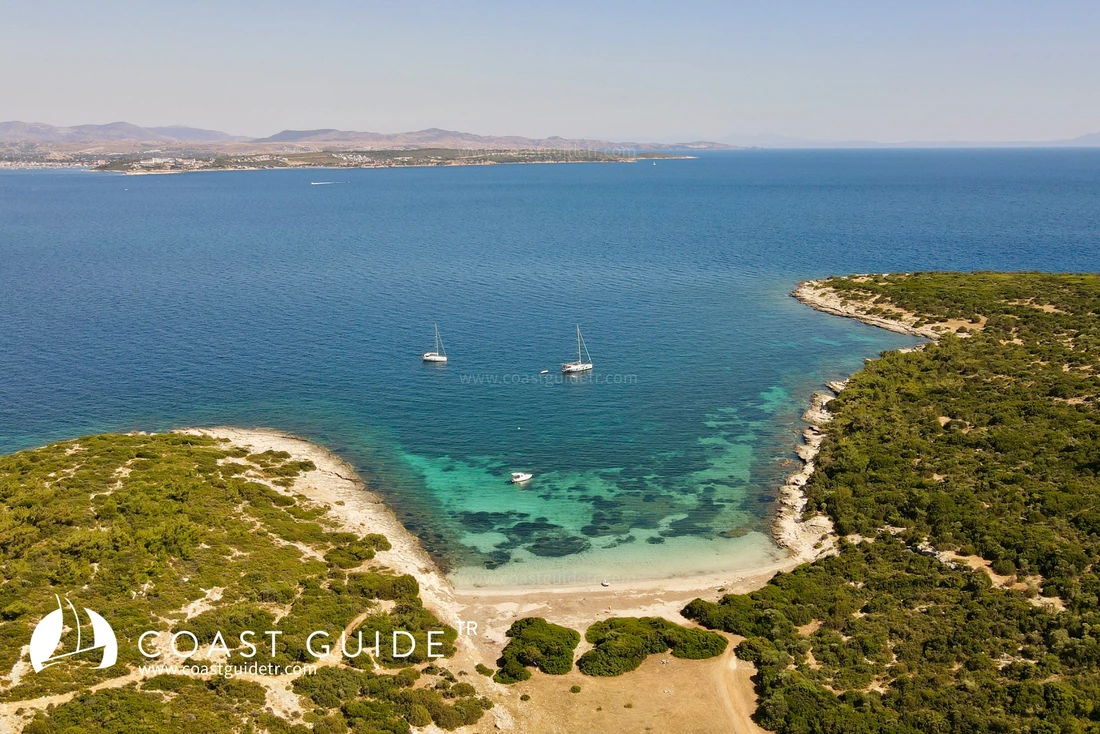
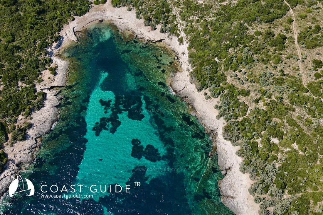
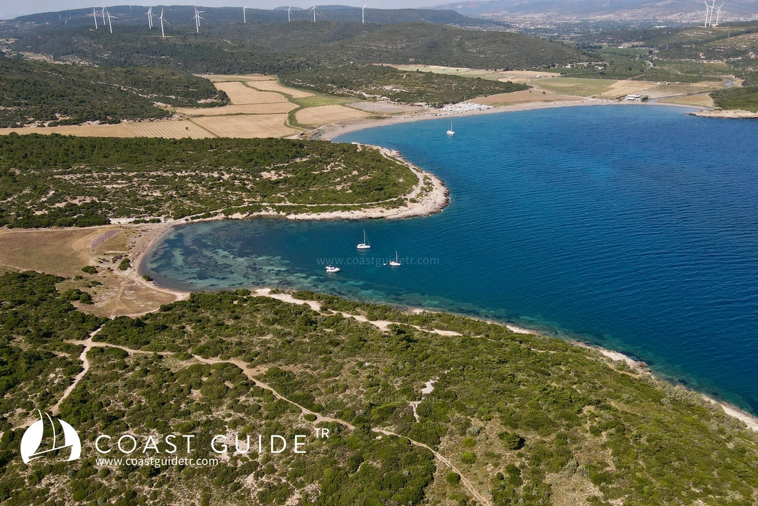
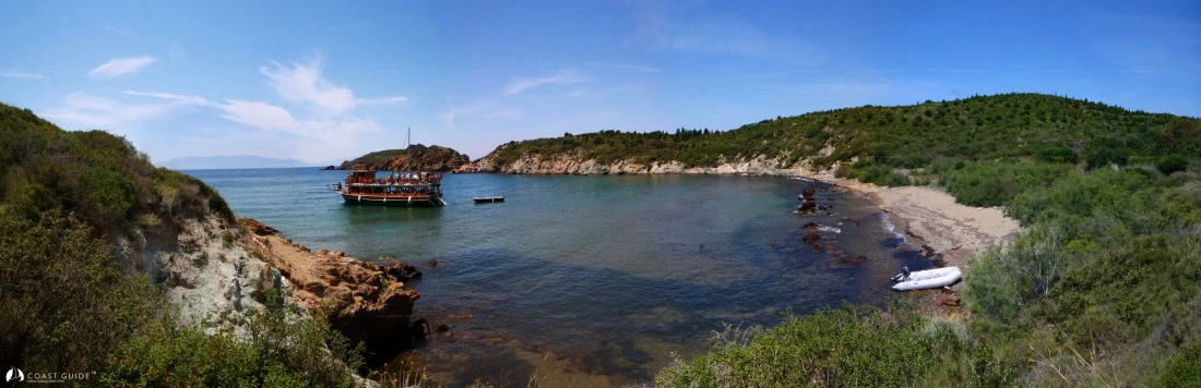
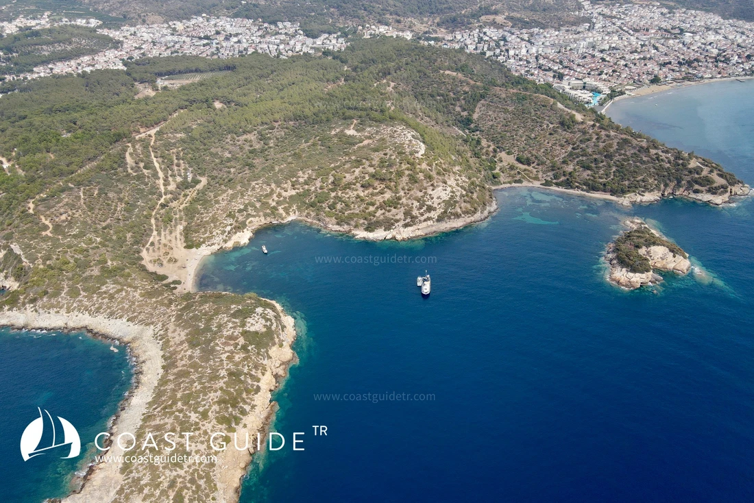
There are very beautiful coves with similar characteristics on the northern coasts of the bay. These coves are sheltered from north winds but generally exposed to south winds.
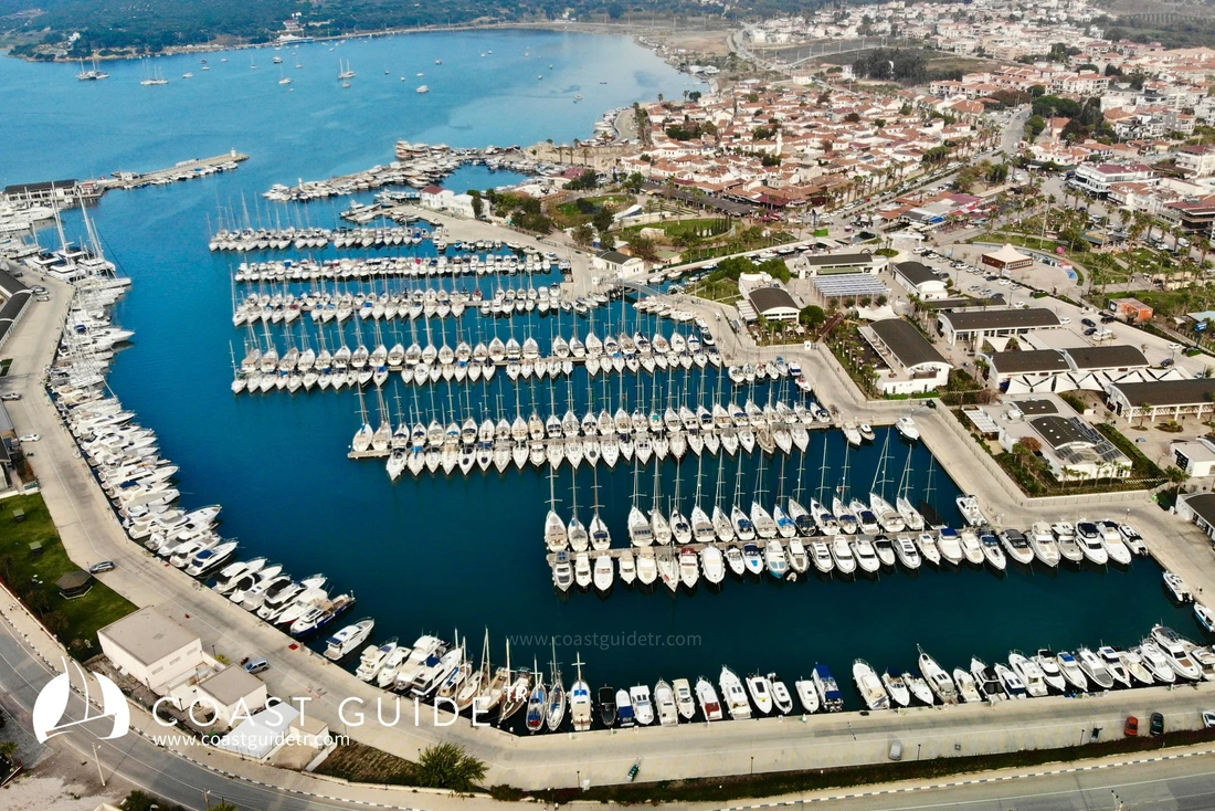
Sığacık Harbor is located in the northeast of the bay. There is a small harbor, a historical fortress, and a marina here. The historical town of Sığacık, which hosts these, is worth seeing and experiencing.
Winds in the bay are from the north. They generally start at noon and continue until sunset. Sometimes they blow for days without stopping. The bay is famous for its winds.
Although the winds do not create rough seas on the northern coasts, they generate choppy waves in the middle. In fact, on harsh days, they create difficult conditions between Teke Burnu and Doğanbey Burnu.
Road access is available to the coves in the region. In Sığacık center, there are all kinds of shopping facilities, Coast Guard, and all related units.
In Seferhisar, to which Sığacık is connected, health and transportation facilities are adequate.
Technical equipment and workshops are available at the marina.
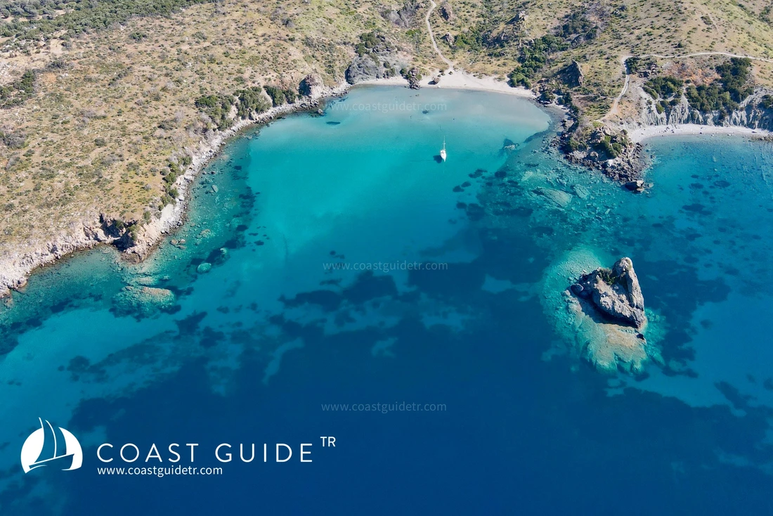
From Doğanbey Burnu to Camlimanı Burnu, the northern coasts of Kuşadası Bay are located. Except for one or two sheltered coves, this region is suitable for daily anchorages in good weather conditions.
The region contains large residential areas, hotels, and summer resorts.
On the coastline immediately north of Camlimanı Point, there are extensive shoals formed by material carried by the Küçük Menderes River.
The Ancient City of Ephesus is located 5 kilometers inland from this coast. The sea has filled in over time from where this city is located to the present-day coastline.
LOCATIONS REQUIRING ATTENTION
1) Underwater and surface rocks extending 80 meters north from the northern tip of Eşek Island, north of Sığacık Port entrance.