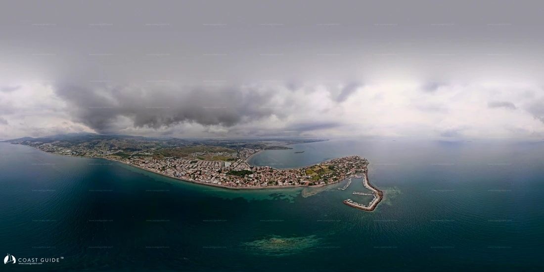
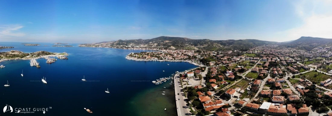
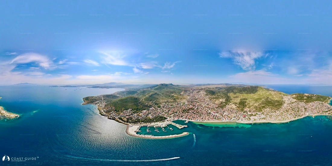
Dikili Gulf - Çandarlı Gulf
CHART
214-2146-2147-2149-2210
1061-1618(B.Adm.)
Under this heading, we will cover the waters between Tatlısu Gulf south of Ayvalık Region in the north, and Deveboynu Point north of İzmir Gulf in the south.
In the north, there is Dikili (Midilli) Strait and Dikili Gulf, and in the south, there is the wide Çandarlı Gulf extending eastward.
Within this area, there are marinas, harbors, coves and ports.
We have included and processed reasonable areas where yachtsmen can enter and stay. We have not processed locations whose names you may see but which we cannot recommend as anchorages.
To the east of Dikili Strait, there are flat lands forming extensive shoals at sea, and behind them high mountains. It is advisable to conduct navigation along this coast as far offshore as possible.
To the west of the strait lies Midilli Island. The waters off this island do not pose a danger in terms of navigation, but there are intensively placed fishing buoys. They can pose a serious hazard especially during night navigation.
From Dikili onwards, mountains form a barrier along the coast, and this formation continues up to Çandarlı Town.
The flat areas west of Çandarlı are the most important place where the famous Çandarlı winds enter the gulf. There are also shoals in the west of Çandarlı Gulf.
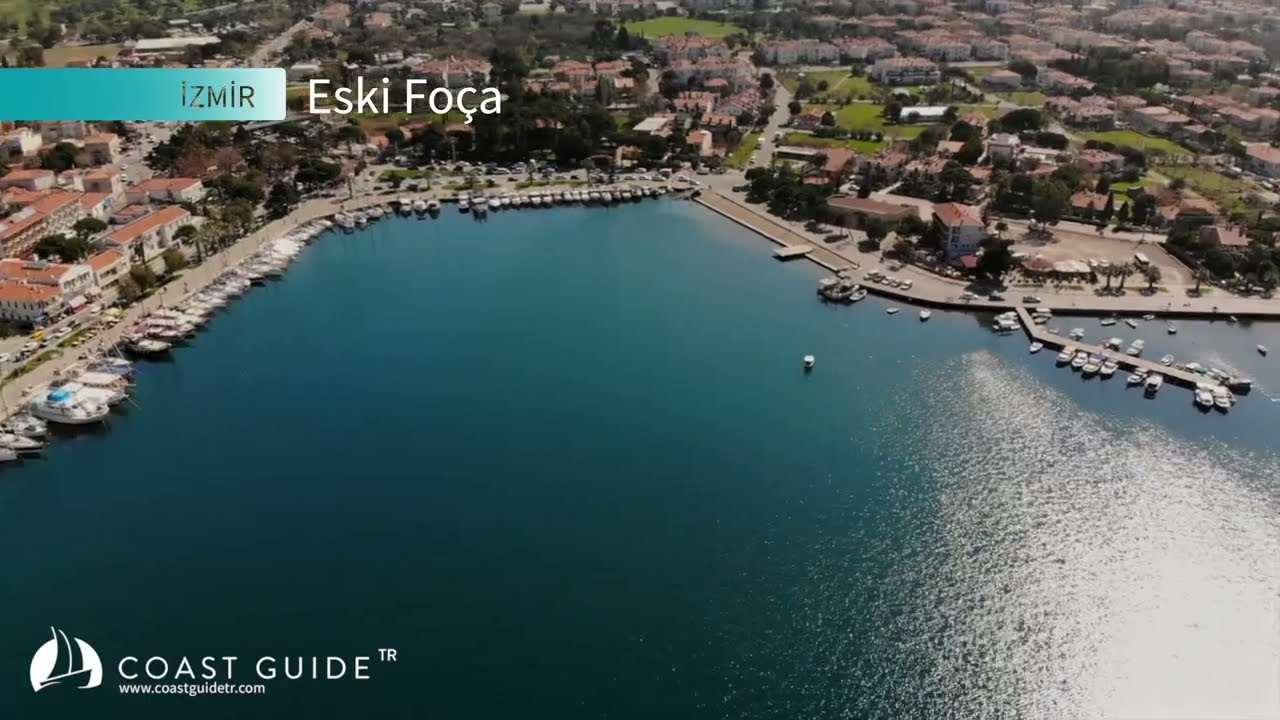
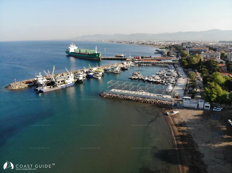
On the southern shore of Çandarlı Gulf, Aliağa and Nemrut Ports are located. The coastline with its indented structure continues up to Eski Foça.
The region experiences distinct Mediterranean climate characteristics. Summers are hot and dry, winters are mild and rainy. The average temperature in summer months is around 21 degrees, and in winter months around 10 degrees.
Temperature difference shows a variation of 13 degrees in summer and 15 degrees in winter. The annual average temperature is 15.4, the lowest temperature is -7 degrees.
In summer and winter, yıldız blows from the north, poyraz from the northeast, karayel from the northwest. Lodos spoils the sea weather and brings rain. İmbat is refreshing for summer days. With meltem winds that change direction between day and night, it spreads iodine-filled sea breezes. The average pressure is above normal, and the highest pressure in winter months is 777mm.
Annual precipitation varies between 500-800 mm. Snowfall is rare, and frost is not very common. Generally, it has low humidity air, the average humidity rate is around 20-30%.
In this region, strong north winds are generally dominant. Especially off Çandarlı, it raises considerable waves.
Maltepe Point in the north of Çandarlı Gulf and Arslan Point in the south are the locations where adverse weather in the region is felt most severely.
Attention must be paid to the squalls at Maltepe Point and the rough waves and currents at Arslan Point.
The seawater temperature in the region is low. Especially the Çandarlı areas have quite cool waters, both due to the effect of streams and underwater springs.
It happens that winds blow for days without stopping in the region, and this is normal for the region.
LOCATIONS REQUIRING ATTENTION
1) In the region, there is a rocky formation 40 meters in diameter, barely noticeable on the water surface, in the coastal section north of Çandarlı harbor.
2) Attention must be paid to the rocks and debris covering a 40-meter area, 300 meters off the western point of Yeni Foça Bay.
There is a north cardinal buoy at this location.
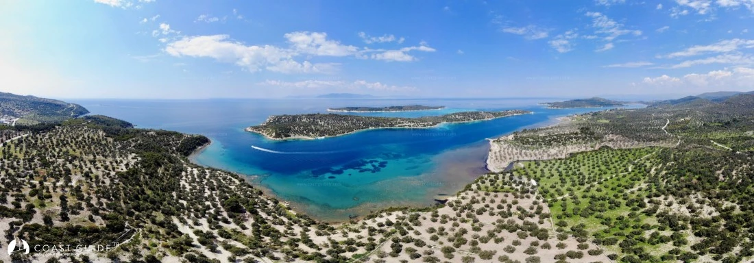
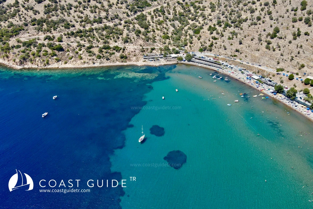
The region has Bademli Bay with tropical appearance, beautiful enough to rival the bays in southern Turkey.
Shopping and transportation facilities are adequate at every point.
Coast Guard and other security units are active in the region.
In port and harbor areas, there are hospitals, health centers, and pharmacies.
Video