İzmir Gulf
221-2210-2211-2212-2213-2214-2215
1522-1645(B.Adm.)
Under this heading, we will examine the inverted "L" shaped gulf that extends southward from Deveboynu Cape in the east and Karaburun in the west, and then turns eastward.
High mountains follow the eastern entrance of the gulf down to the south of Foça
These mountains later give way to flat terrain and continue to the northern entrance of İzmir. These areas form extensive shallows extending to the middle of the gulf. Depths are very low.
Around İzmir city, hills and mountains continue again.
On the western side of the gulf, in the Karaburun Peninsula, high mountains form the coastline.
The gulf, which starts deep in the north, continues southward with decreasing depths. It becomes quite shallow in İzmir Port, requiring careful navigation.
Winds in the gulf are generally northerly and continue to blow from noon hours until evening.
The region has a Mediterranean climate. Summer months are dry and hot, winter months are mild and rainy. July-August are the hottest months and January-February are the coldest months. The number of days below zero does not exceed 10 days. Nearly 100 days of the year exceed +30 degrees.
Snowfall is negligible. Annual precipitation varies between 700-1200 mm depending on the region.
During hot summer months, a wind called "imbat" brings coolness. This wind, which occurs due to the difference in heating and cooling between land and sea during day and night, is unique to this region. It brings a pleasant coolness to the region during scorching summer days. Temperature varies between +42.7°C and -8.4°C.
LOCATIONS REQUIRING ATTENTION
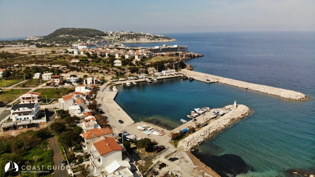
1 ) "Hacılar Port" is located 2 miles south of Foça. This is a military zone and entry is prohibited.
2) Similarly, anchoring and landing are prohibited at Uzunada and its surroundings.
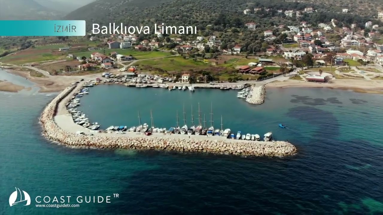
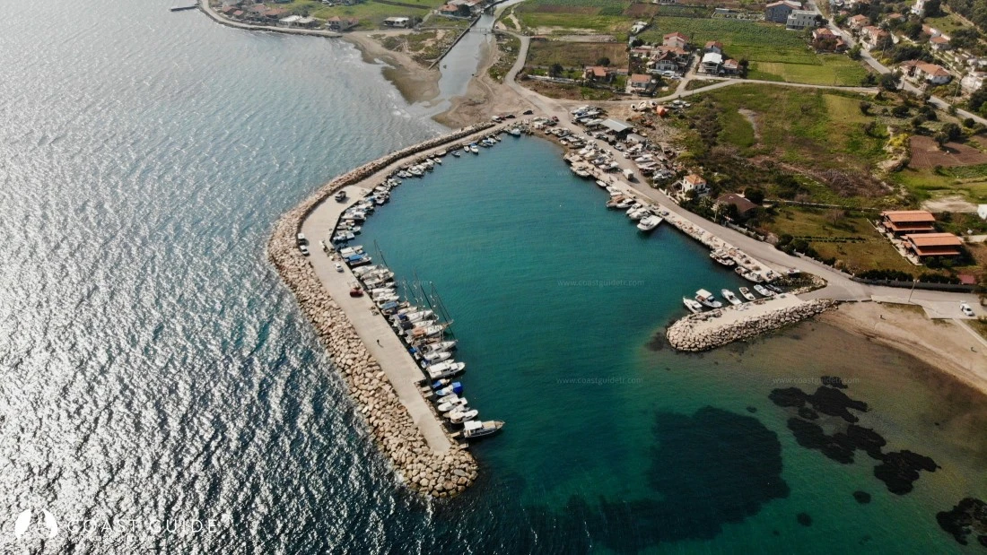
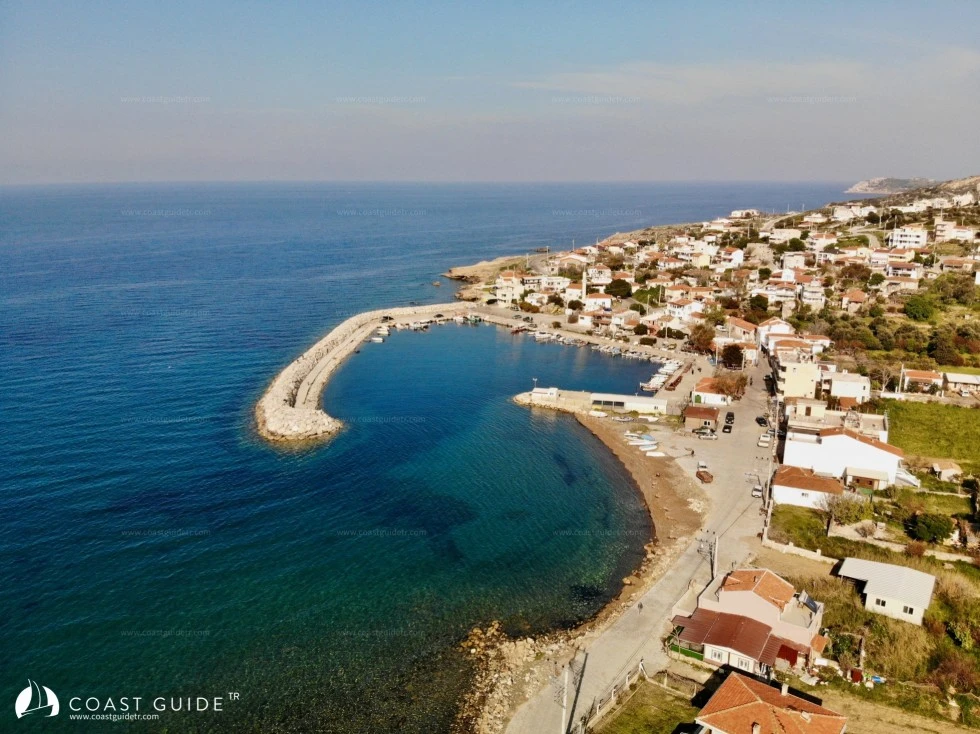
3) At the Balıklıova Harbor main breakwater extension, there are rocks and debris extending 70-80 meters and spread over a 70-meter area.
4) Also, there are shoals extending 300 meters offshore in the northwest direction of Özbek Harbor.
5) Inside the gulf, on the entrance line to İzmir main port, after Yenikale Passage, there is Çakal Burnu shoal. This shoal extends 1 mile north from the shore.
After Yenikale passage, in the shallow inner harbor, the waters lose their clarity. The cleanliness and clear appearance of open seas disappear.
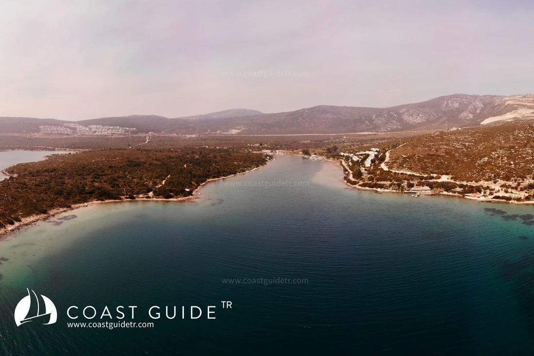
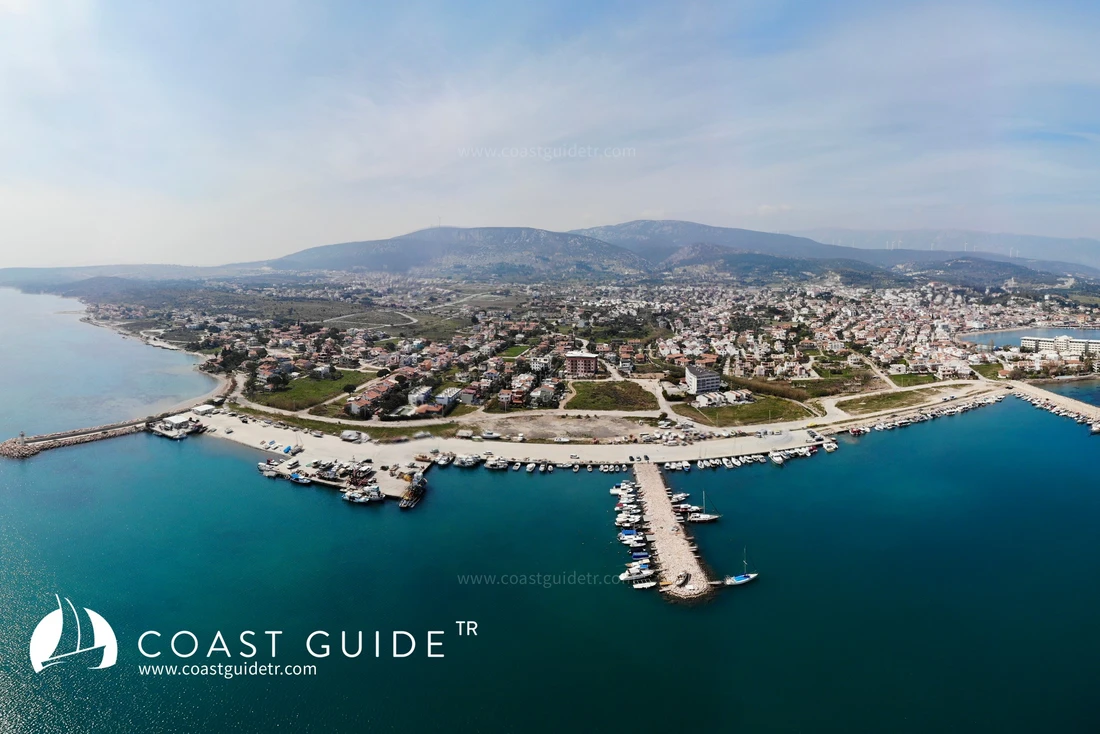
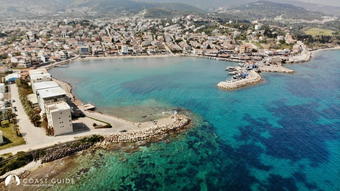
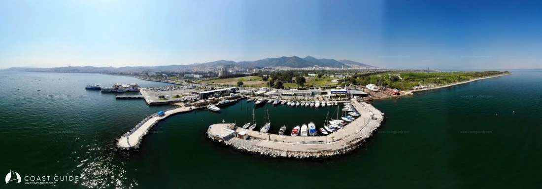
In the gulf, there are many harbors, one marina, and a limited number of anchorable coves.
Shopping facilities are available at berthing locations, water and electricity connections are provided.
Outside İzmir center, there is no place to purchase technical equipment, but all locations are close to and connected with İzmir. Technical support is only available in İzmir. There are also a limited number of craftsmen in the region at the harbors.
İzmir, Turkey's third largest city, has an international airport and is a city with excellent land and sea transportation.
The road network inside the gulf is excellent. There is no place that can be called "unreachable."
Coast Guard and other security units are very active in the region.
Health centers and pharmacies are available at all berthing locations. İzmir center houses many large hospitals and university hospitals.
Fish are abundant in the gulf. Especially Karaburun, Mordoğan, and Balıklıova areas are where fish are most abundant.
The region offers endless options in terms of tourism and historical sites.
Video