Yeşilova Gulf - Point Kadırga
Under this heading, we will cover the sheltered coves between Karburun (36°33.3'N-28°58.7'E) in the west and Kadırga Bunu (36°43.8'N-28°18'E) in the east.
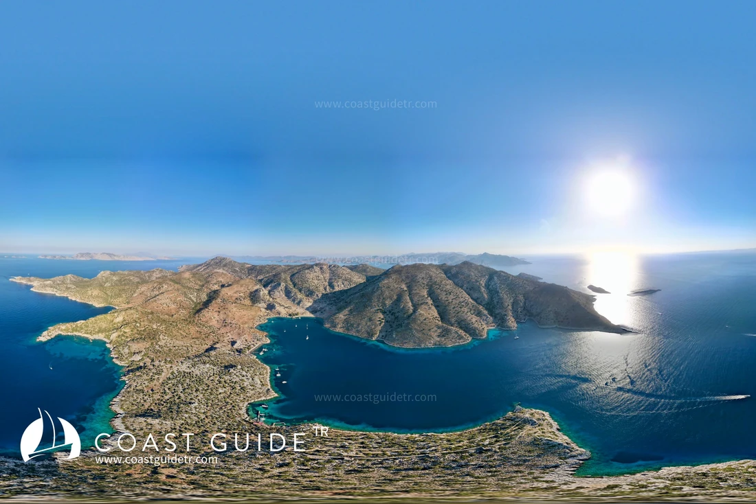
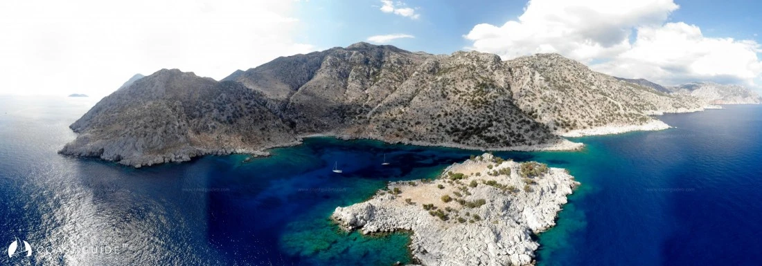
The coastline extends from west to northeast direction. In the north, high, barren mountains follow the entire coast. From the peaks and cliffs of these mountains, where vegetation is almost non-existent, violent downpours intensify and descend to the seas. It poses a danger especially between Zeytinli Burun and Gökçe Burun. Therefore, in order not to be exposed to strong winds, it is advisable to navigate away from the coast, particularly in this area.
Prevailing winds blow from the north and northeast directions during summer months, towards the west of the coastline, from the west, and raise waves. In this region, it is advisable for vessels passing from east to west to plan their navigation days and hours according to meteorological forecasts.
Sea depth is quite significant. Except for a few small points, there is no indication that would pose a danger to navigation.
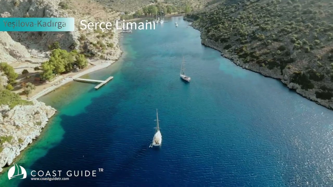
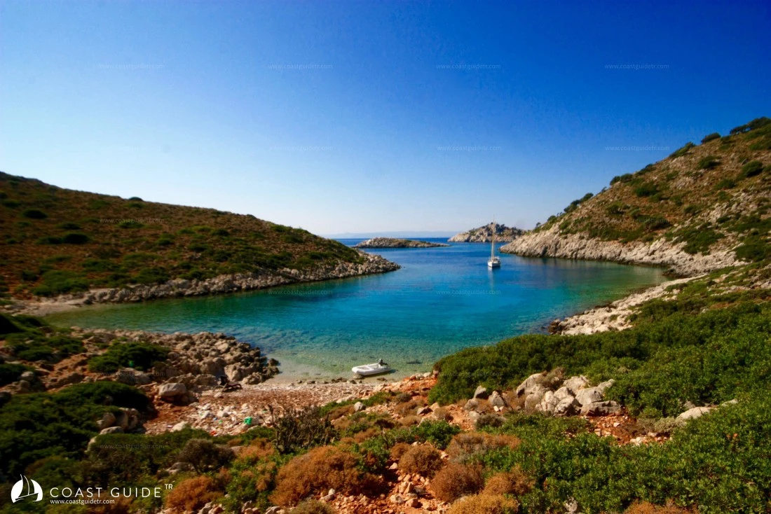
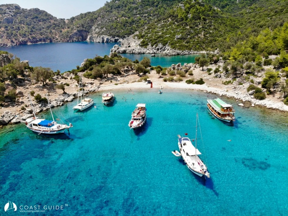
The coves located within the coastline are like camouflaged areas. Their entrances are either narrow or form a whole with the surrounding terrain in terms of texture and color, making them unnoticeable.
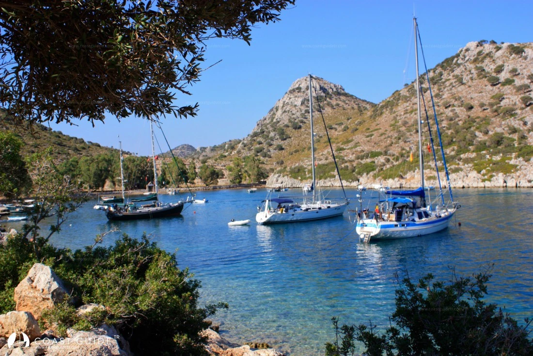
On this coastline, there are light breezes even on the best days. Particularly at the narrow mouths of beautiful sheltered coves, it becomes difficult to tack vessels. Southerly winds blowing in spring, autumn and winter months create high seas. Under these conditions, navigation and entering coves require more caution. Generally, seas that become rough towards noon calm down near sunset.
Except for two of the coves in this region, road connections are not reliable. It is an insufficient area in terms of provisioning.
There are also historical sites on the coastline; you can access details from the relevant pages.
On this coast of crystal clear open seas, there is also plenty of rod fishing.
CHART:
311 – 3112
Video