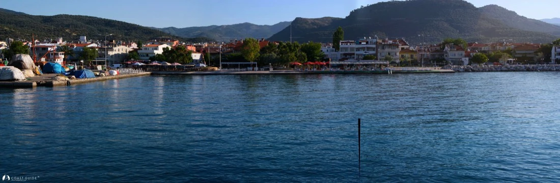
Çanakkale
Charts:
313 – 3136 – 2131Printed by Turkish Navy Department of Navigation, Hydrography and Oceanography.
1608 B. Admiralty
Adequate anchorages from Çanakkale to the Gulf of Edremit (Mühlü Point) are examined in our portal.
The coastal terrain from Çanakkale Strait southward to Bababurnu (Cape Baba) is characterized by flat topography. The shoreline becomes steeply mountainous along the southern approaches to Müslüm Geçidi. Throughout both summer and winter seasons, prevailing winds in this region are predominantly northerly. Typically, a gentle breeze develops from the N or NW, building to full strength by midday and diminishing in the late afternoon. However, these winds can occasionally intensify to violent conditions, creating significant challenges for vessels proceeding northward. Strong southerly winds commence in autumn, reaching peak intensity during winter months and frequently attaining gale force.
South and southwest-setting currents flowing from the Dardanelles at 1.5–3 knots extend into Saros Bay, while currents between the Dardanelles and Baba Burnu set westward at 1.5 to 2 knots. Current strength diminishes considerably under calm wind conditions. Along this coastline, violent winds combined with south-setting currents can significantly impact vessels cruising northward. It is strongly recommended that vessels maintain close proximity to shore to minimize exposure to northerly winds.
The area experiences a transitional climate between the temperate Mediterranean and temperate Black Sea climatic zones, characterized by hot, dry summers and cool to cold, wet winters. A persistent north-easterly wind pattern influences the local climate significantly. This coastal region experiences cooler temperatures due to these prevailing winds. The continuous breeze from the Balkans provides welcome relief from summer heat. Average temperatures reach 14.7°C during summer months and drop to 4.2°C in February. Average humidity is 77.6%. Average annual rainfall ranges from 662.8 mm/m² (Gökçeada) to 854.9 mm/m² (Ayvalık).
The average sea temperature is 20–23°C during summer months. Snow is rare in the region; occasional snowfall typically lasts no more than 8 days.
54% of the land is forested. Fir, black pine, Calabrian pine, juniper, and alder trees are common in the region. Communities of maquis, dominated by evergreen shrubs, are also prevalent. Considerable variation in forest composition occurs towards Mount Ida (Kaz Dağı).
Navigational Cautions:
Eşek Adası (Islet) Reefs: The northwest coast of Bozcaada is rocky with numerous shoals. A light tower (Fl 3s 10m 8M) is visible from a distance and marks this hazardous area.
Müslim Geçidi Rock (39°25.2'N - 26°13'E): A shallow rocky area at sea level located in the middle of the strait, approximately 2.5 nautical miles south of Point Sivrice, poses a significant danger to navigation. Exercise extreme caution when transiting this area.
The region offers attractive diving locations. Saros Bay is particularly noteworthy for recreational diving. Organized diving tours regularly depart from Çanakkale, Gökçeada, Kabatepe, and Bozcaada. Sport fishing is also popular among visitors, with the Babakale area being a favored location for spearfishing.
The Çanakkale region and surrounding Aegean coast have been centers of art and civilization throughout history. Numerous archaeological sites from the Classical Age, Hellenistic Period, Roman Era, and Ottoman Empire are found here. Notable sites include Troy, the Çanakkale Archaeological Museum, Ephesus, Didyma, Priene, and Pergamon (Bergama), all within reach of the Çanakkale province.
Transportation infrastructure is well-developed. The region is accessible by air, sea, and road, with regular services connecting most Turkish cities. All types of provisions are readily available. Medical facilities and security services meet adequate standards. Marine maintenance and repair facilities are continuously being developed.