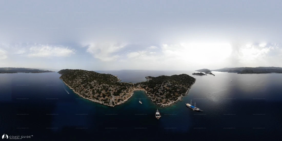
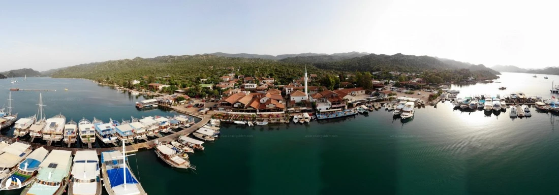
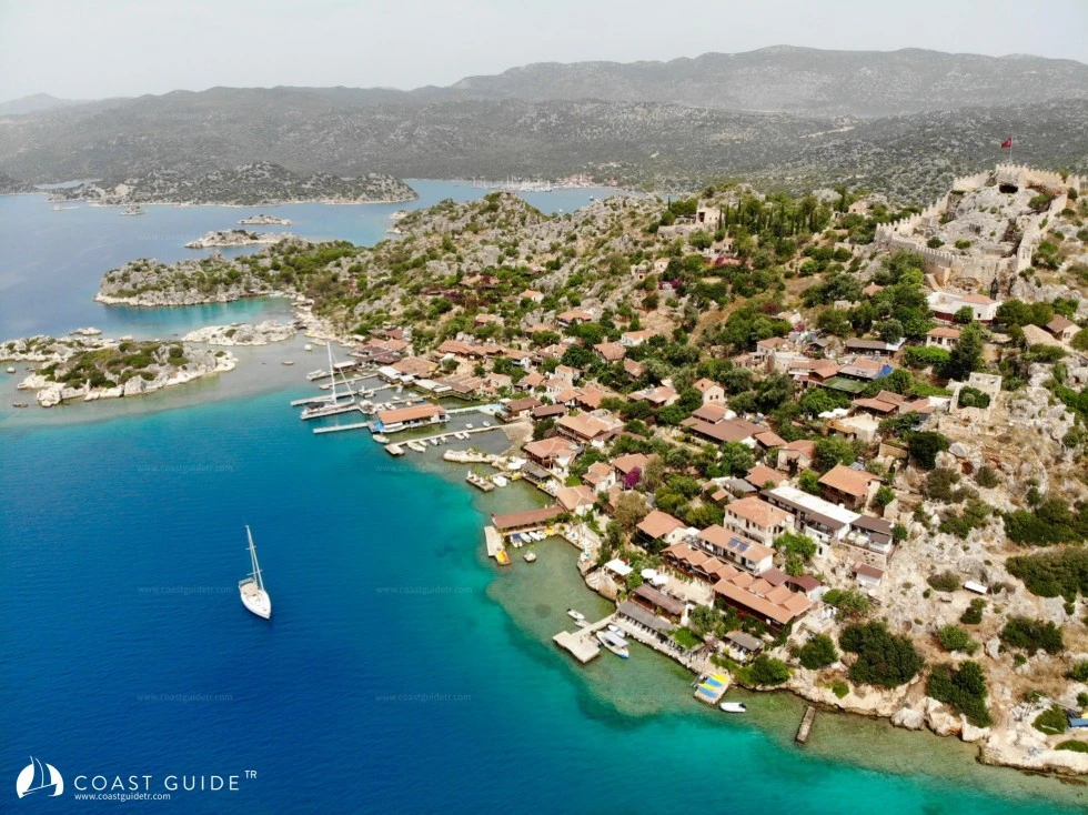
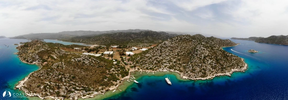
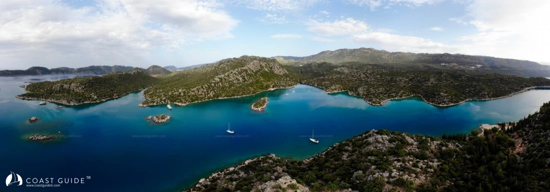
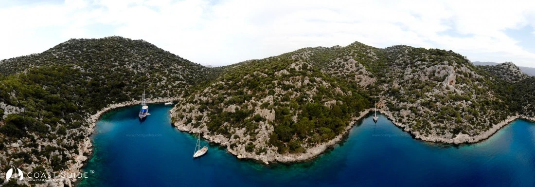
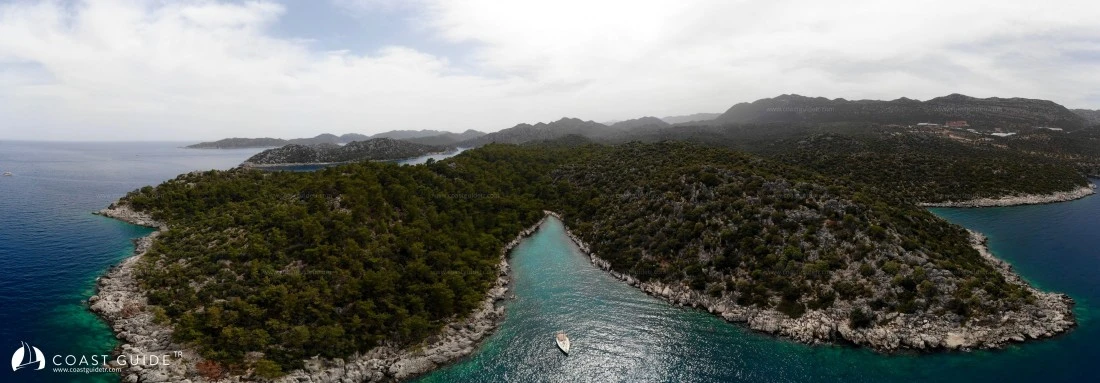
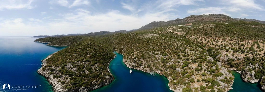
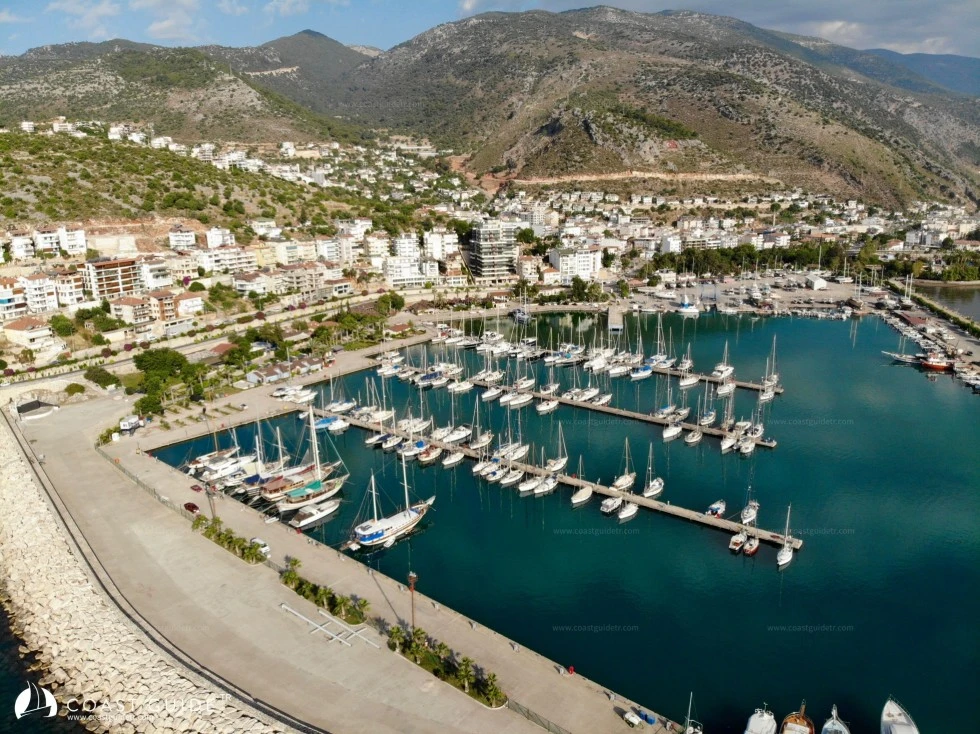
Kekova - Antalya Gulf
Under this heading, we will cover the anchorable locations and sheltered bays between Asar Cove(36°09'5"N - 29°47'E) in the west and Şildanlar Point(36°12'4"N - 30°24'1"E) in the east.
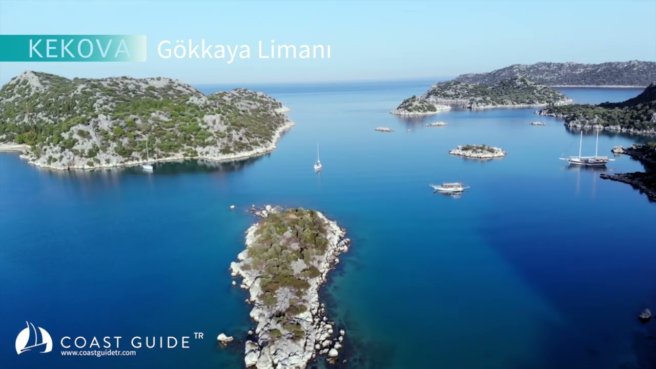
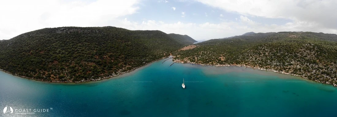
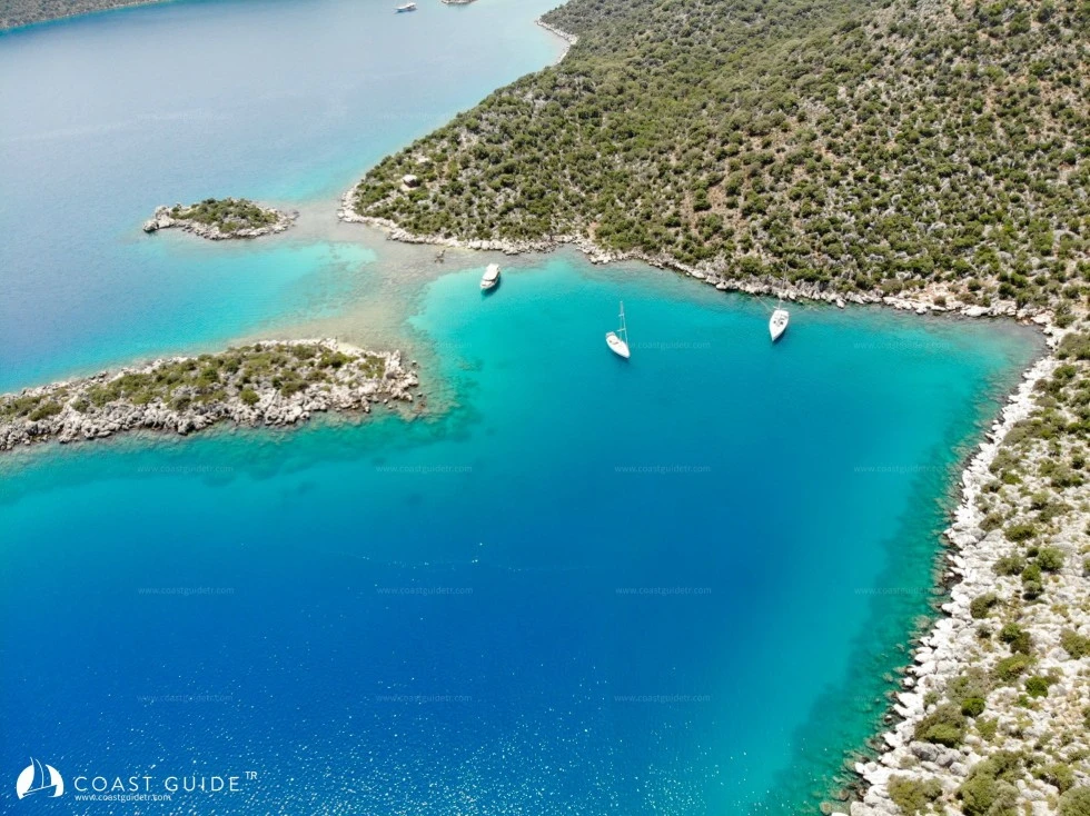
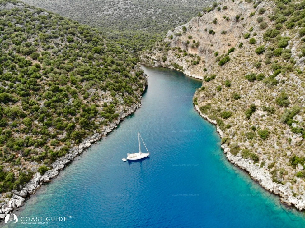
We are now in areas where history and nature intertwine. Ancient ruins and the intensity of yacht tourism make themselves felt in the region. With stunning bays where we can stay for days, underwater beauties, and favorable climate conditions, we are in another paradise.
There are 1 marina and 1 marinet in the region. It is an area where no difficulties will be encountered in terms of water, fuel, and technical support. Anchoring is easy. International airports and all parts of Turkey can be reached by road with modern infrastructure.
There are no problems in the region in terms of navigation safety. Entry to Kekova Ölüdeniz from the west and passages from Ölüdeniz to Üçağız are comfortable despite the islands, islets, and rocks in the middle. Attention is required for the islands, islets, and rocks southeast of Kekova Island.
In the region, which has a mild and warm climate, winds generally pick up in the afternoon. They blow from southwest-west directions. July-August are the hottest months of the region. Winter months are mild. Sea water temperature rises, especially in the summer months, inside Kekova. It is a region where foreign yachtsmen intensively winter.
Locations requiring attention;
1) The rocks and debris with 1.5 meters of water depth, not shown on charts, spread over a 20-meter area 200 meters north of the western point of Kekova Island. It falls on the path of vessels entering Ölüdeniz from the west and heading to Kaleköy, attention required.
2) Islands, islets, and debris in the strait passage from Ölüdeniz to Üçağız.
3) Shallows to the west and east of Kaleköy.
CHART:
321-3211-3212-3131
236-241 B.Adm.
Video