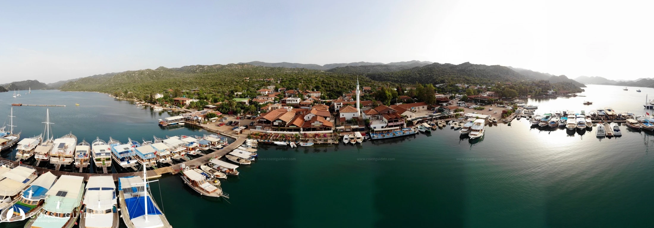
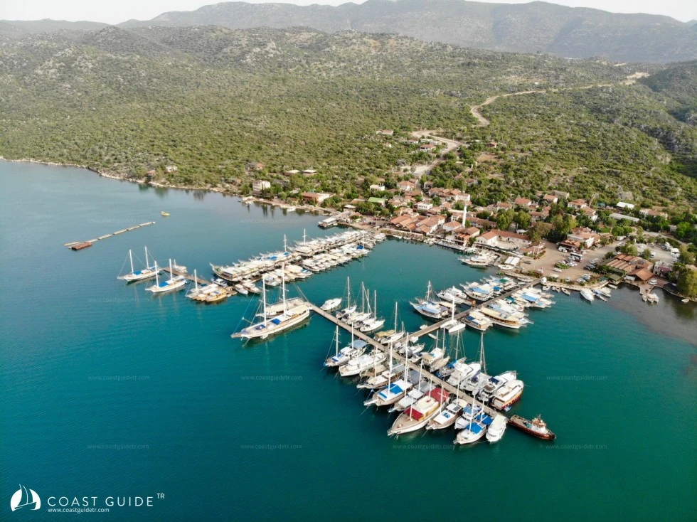
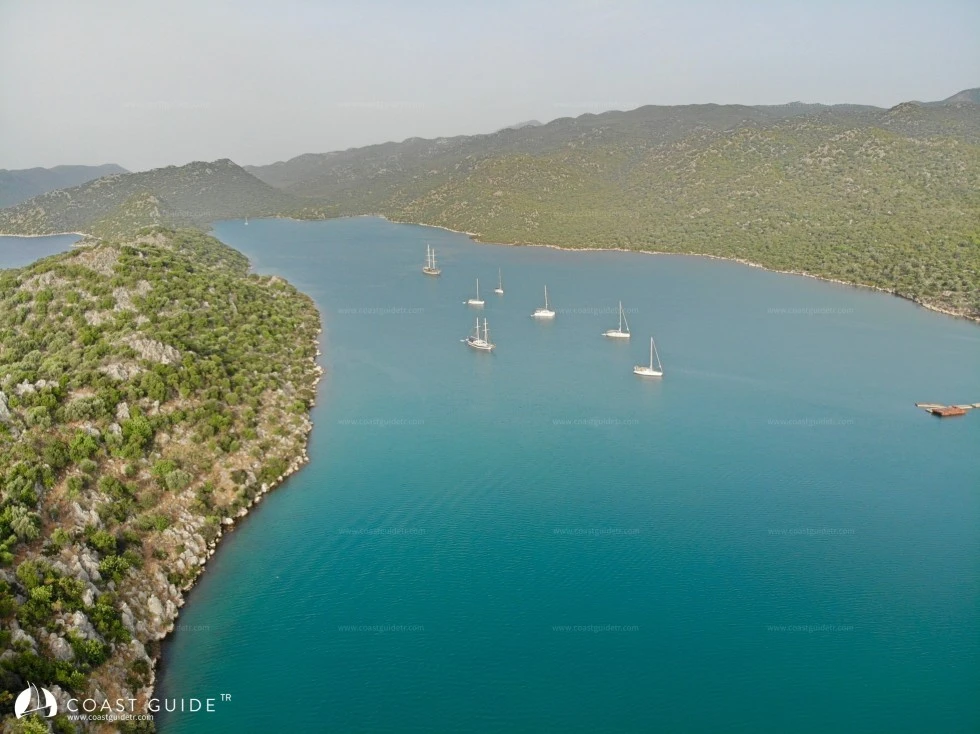
Üçağız Port
When approaching the 1.5 nm long harbor in the East-West direction from the south, two islands in succession divide the narrow passage in two. A comfortable passage is achieved by paying attention to the debris around the islands. Especially the western side is more comfortable with a depth of 5 meters.
Throughout the harbor, anchoring can be done safely in 7-8 meters of mud bottom.
Yachts at anchor can stay by anchoring at 4-5 meters in front of Üçağız Village, at the Gökbucak location on the west side of the harbor.
The Gökbucak location and the Irmakbaşı location with shallower water to the east are preferred for tranquility. There is also a slipway in the eastern section. The village is located to the north of Üçağız, which is a winter harbor.
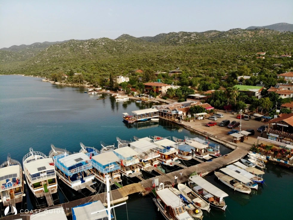
In front of the village, there is a "T" and an inverted "L" dock. Water connection is available at the dock. There is a faucet at the dock. A sewage discharge unit is available.
This dock is virtually a station for daily and weekly boats making trips to the bays. Intensive transfers take place from the dock parking lot in the morning and evening hours. The Coast Guard headquarters is located here.
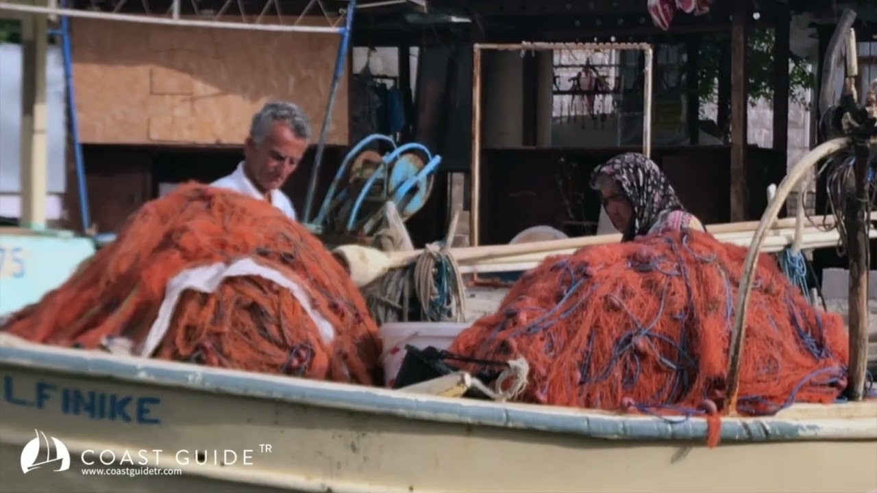
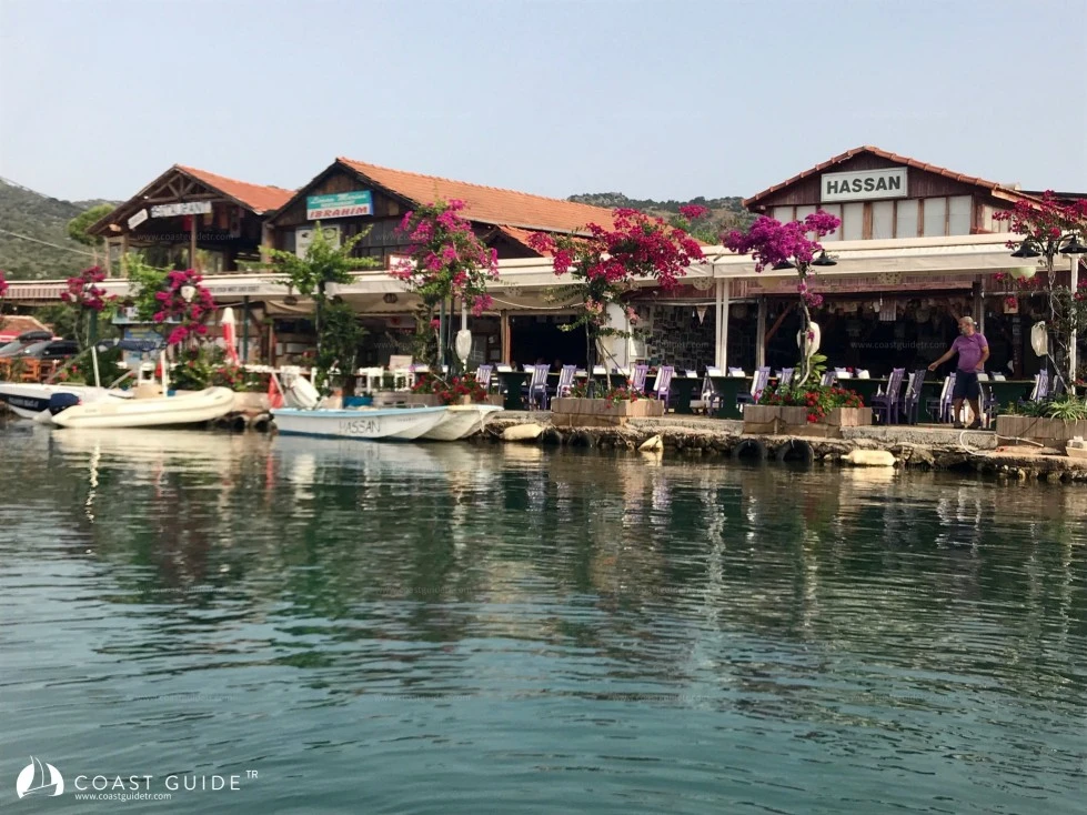
Diesel is provided to vessels by tanker, there are markets to meet all needs. Üçağız Village, abundant with restaurants and guesthouses, was established on the site of the Lycian city of Theimussa.
Tombs and walls are visible everywhere. Cargo companies provide service to the village. Rental vehicles are available.
The village, which has a different atmosphere, is 24 km by road to Demre and 32 km to Kaş.
Marine Chart
Initializing...
Weather
Video
Capture the beauty of this bay with your photos
Comments
Anchorage, depth, wind protection... Your experience guides fellow sailors