Hisarönü Gulf
The region we will address under this heading encompasses the area north of Bozan Burnu (36°44'97"N-27°55'52"E), south of Atabol Burnu (36°40'27"N-27°57'64"E), and east including Hisarönü Harbor.
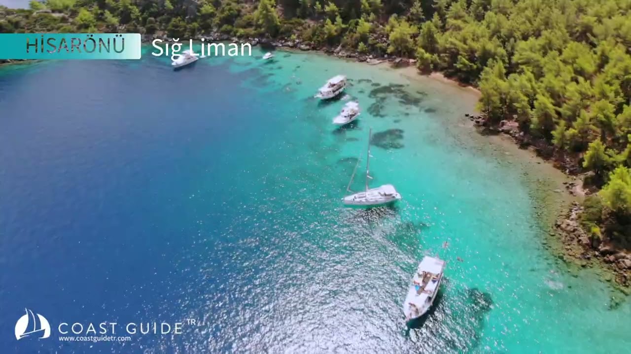
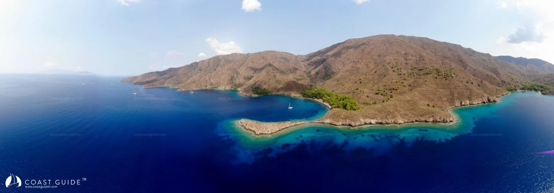
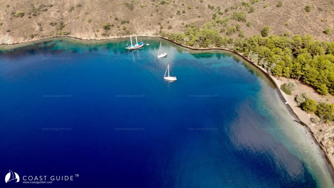
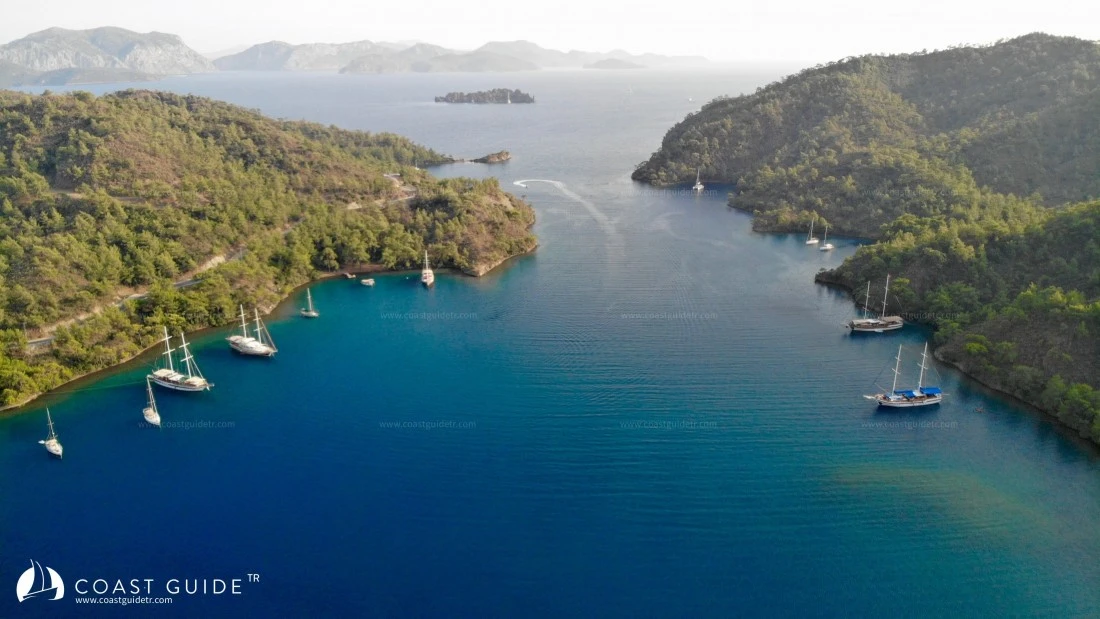
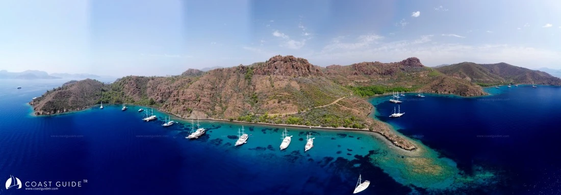
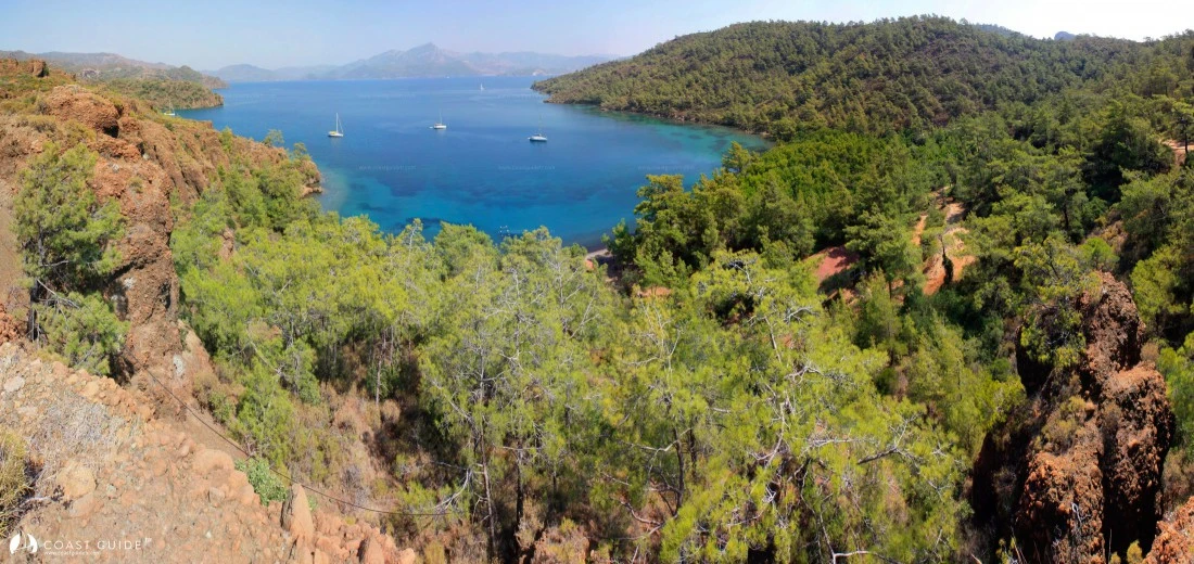
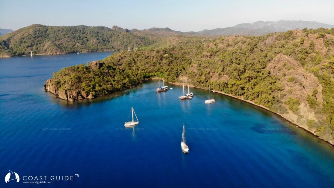
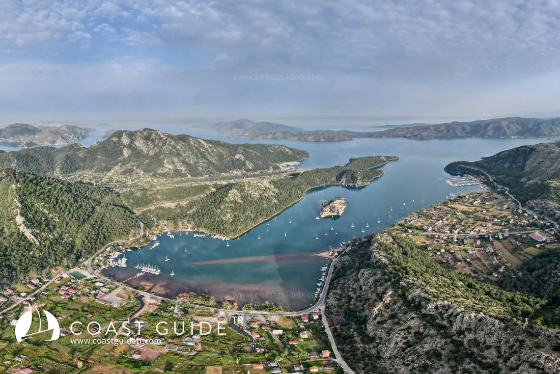
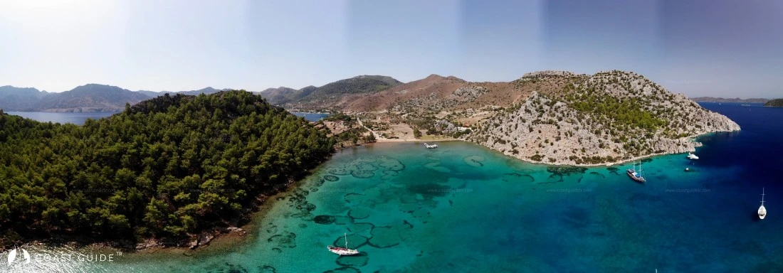
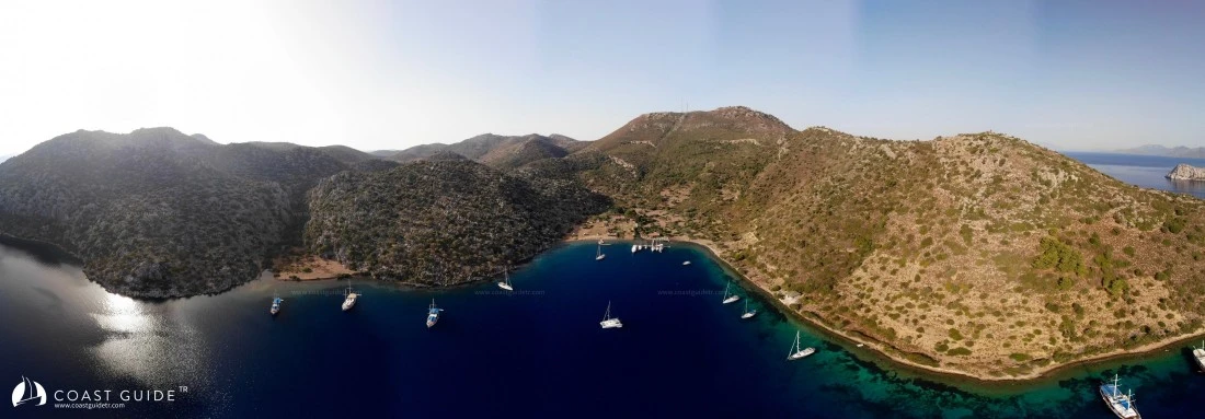
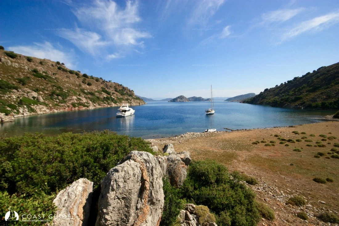
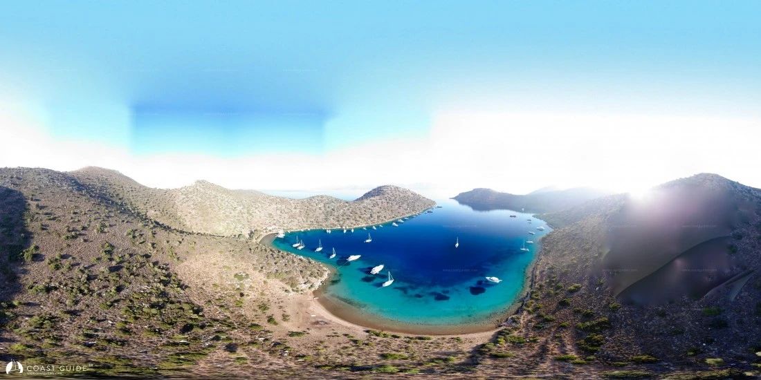
An interesting geographical structure. Dense forests in some places, barren-looking bays in others, sweet winds descending from Gökova Gulf, deep and crystal-clear waters, shallow harbors, almost a bay every mile. Hisarönü Gulf is one of the most beautiful gulfs in the world.
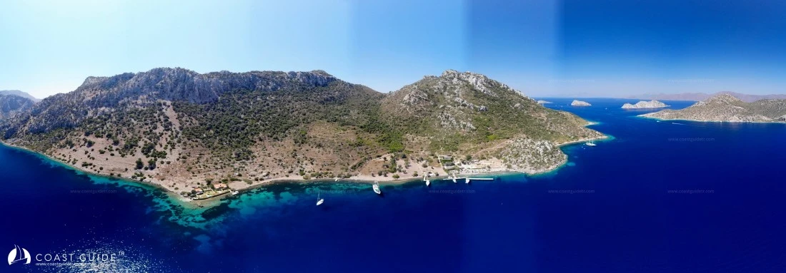
Its northern and southern coasts are surrounded by high mountains. Generally, the bays have penetrated into the mountains, creating sheltered areas. While the northern parts of the bay are generally covered with pine forests (albeit few, palm trees), the vegetation decreases in the south, where scrublands, olive trees, and decreasing pines are seen.
Debris is found at the extensions of almost every cape, and it is advisable to pass these areas from offshore.
1) Rock debris around Lindos Burnu,
2) Western extension debris of Dişlice Island.
3) Underwater rock located southeast of Dişlice Island, marked with a south cardinal buoy,
4) Sand bank northwest of Kale Island,
5) Rock debris on the village route inside Selimiye Bay,
6) Rock debris in front of Karaburun Burnu in Selimiye Bay.
7) Attention must be paid to rocks and debris inside Selimiye, Çökertme Bay.
Just north of the southern coast, parallel to the shore, 5 islands of various sizes are lined up. These islands have no sheltering places. On the south of some of the islands, whose northern coasts are covered with steep slopes exposed to wind, there are albeit few suitable places for day anchorages. Among the islands, Kameriye Island, the easternmost one, is more suitable in this sense. It has a very nice anchorage area on its east. There is also an old church ruin on the island. This site located on the southern side is visible from the sea and there is a bay with deep water in front of it. Daily tour boats moor here. There is another small island between the coast and Kameriye Island.is deep on both sides, passable. Again in the same region, under Küçüven Cape at 30 meters, excavation work of a 9th Century wreck has been completed and is exhibited at Bodrum Underwater Archaeology Museum (Bozburun Küçüven Byzantine Wreck). Excavation work related to this wreck has been completed.
The open-mouthed coves on the northern coast do not cause much problem during summer months, but it is necessary to be careful considering southerly winds in spring, autumn and winter seasons.
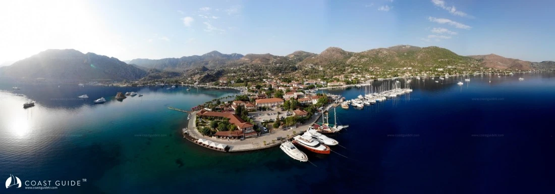
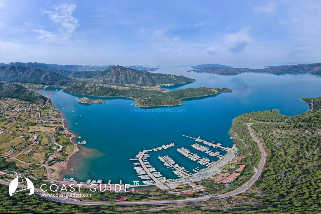
In this region, there is a marina to meet every need, many piers and haul-out areas. There is no difficulty in terms of supplies. There are no problems regarding water and fuel needs. Small and large roads reach everywhere except for a few coves. It is very close to Marmaris center. The nearest airport to the region is Dalaman Airport.
In terms of security; Coast Guard and Gendarmerie can be considered by your side at all times. In terms of health; there are 2 health clinics, Marmaris with many hospitals is very close.
Streams descend into many coves. These streams create shallows in the areas in front of where they meet the water.
Inside the gulf during summer months, the weather is calm in the mornings. Towards noon, sea breeze blows. There are no very strong winds.
Northern coves are affected by southerly winds, southern coves by northerly winds. Including summer months, air temperature is not oppressive. A pleasant breeze prevails.
CHART :
311 – 3112 E – 3113 A
LIGHTS :
Uzunca(Ata) Island :
Fl R 3s 10m 3M
36°43'6"N-27°42'9"E
Atabol Rock :
Fl (2) 5s 5m 6M
36°40'16"N-27°57'28"E
Video