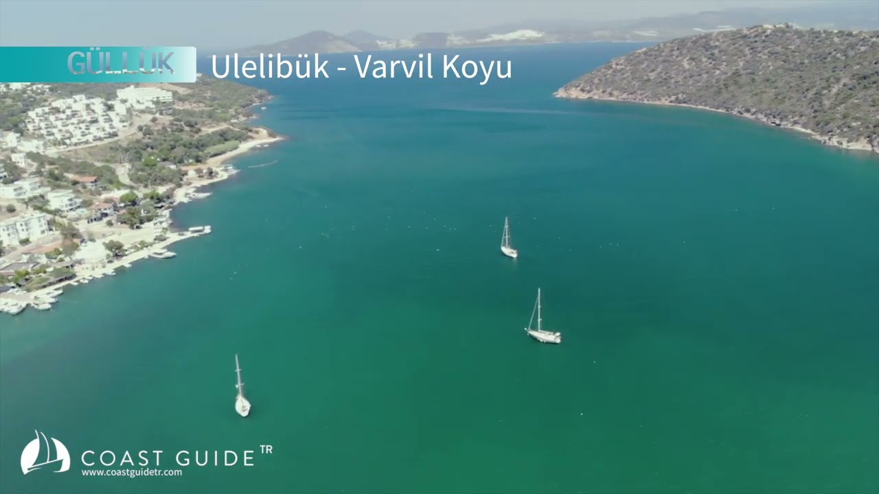
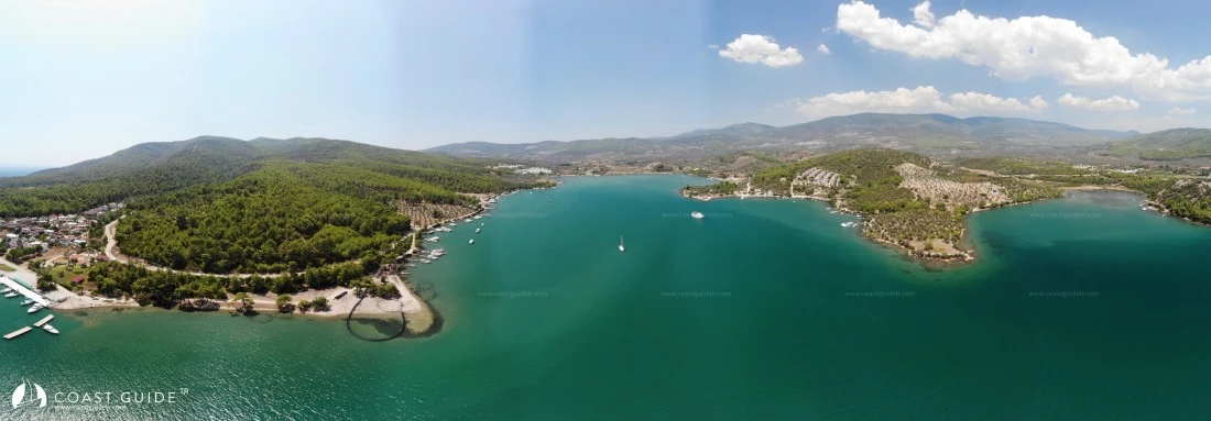
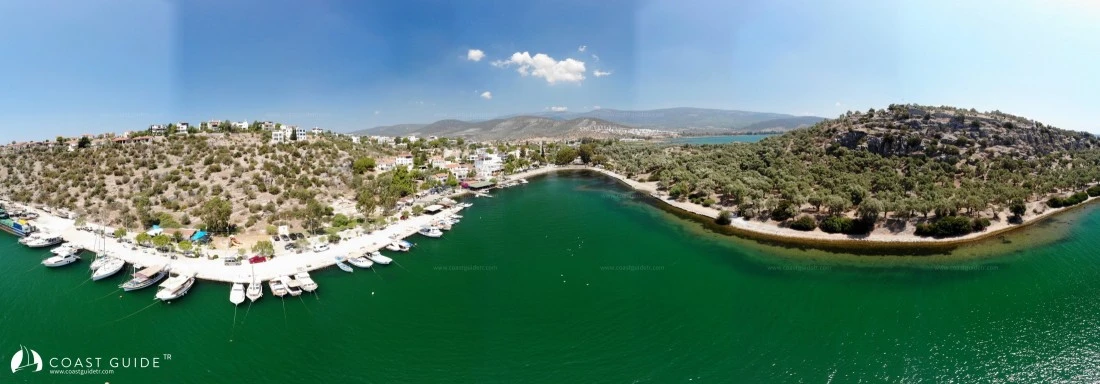
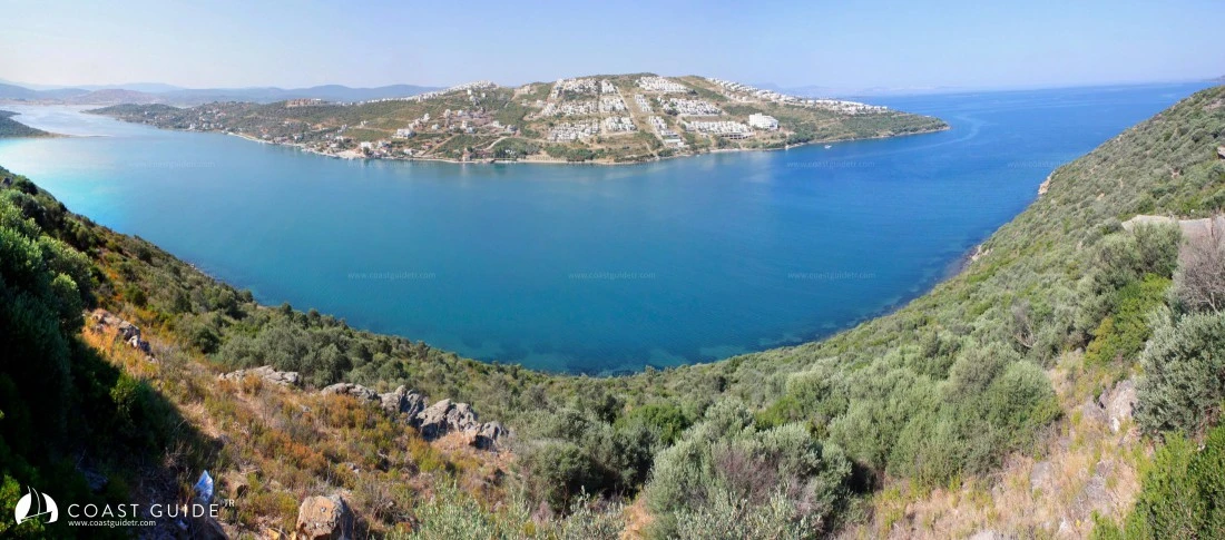
Güllük Gulf
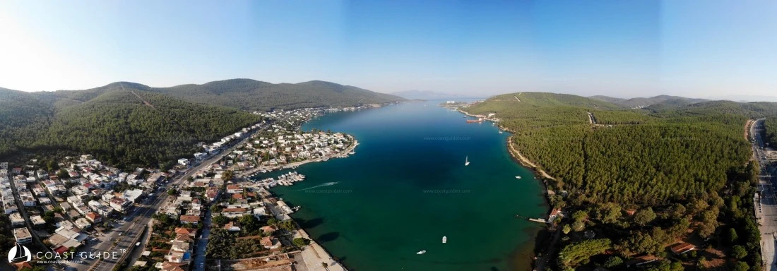
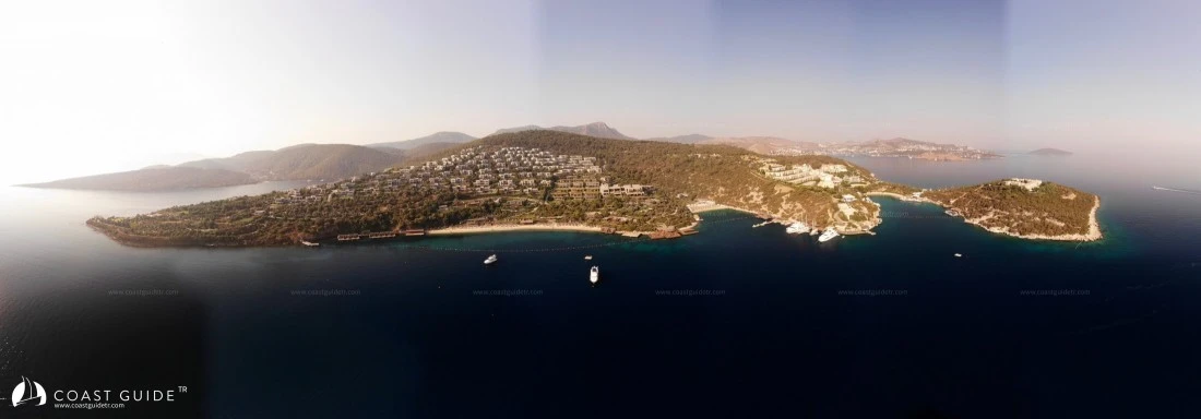
It is a gulf that extends 20 miles eastward from Yalıkavak Peninsula, which is 13.5 miles south of Tekeağaç Point (Fl.W.15s.10M) in the north.
The section extending 5.5 miles eastward between İncegöl Point in the north and İnce Point in the south, on the eastern side of Güllük Gulf, is also called Asin Gulf. Depths in Asin Gulf do not exceed 30 meters; it is shallow. The bottom is mud and the water is not clear.
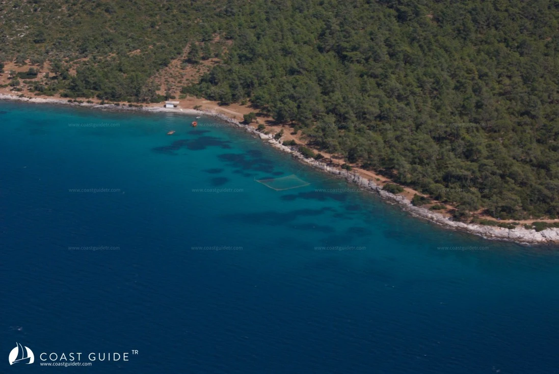
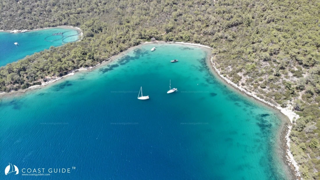
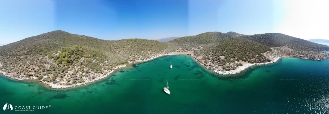
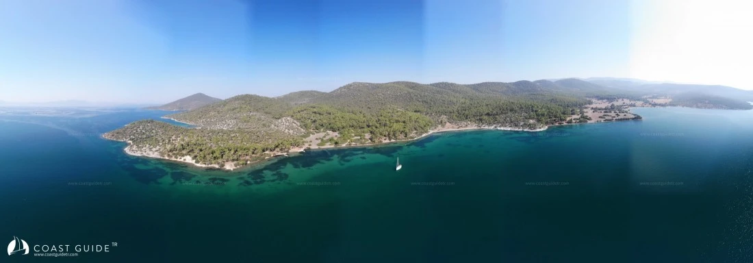
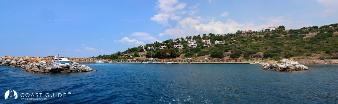
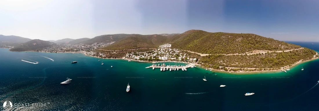
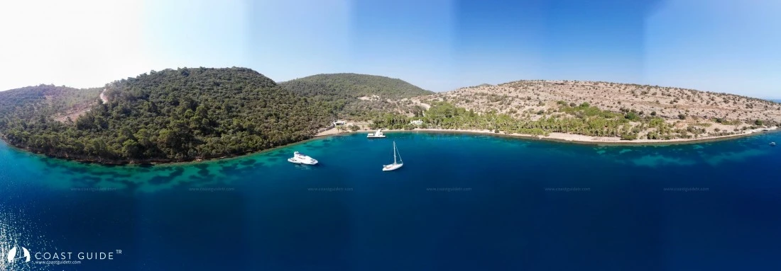
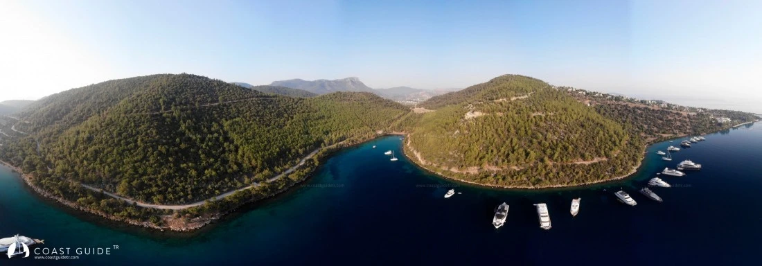
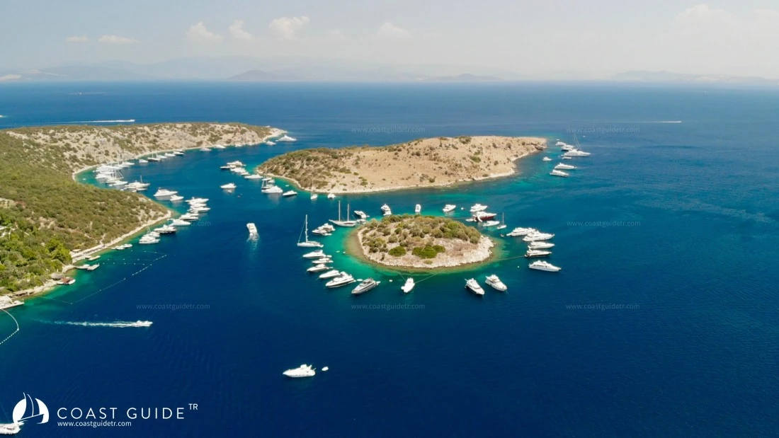
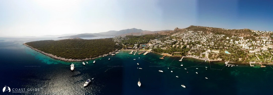
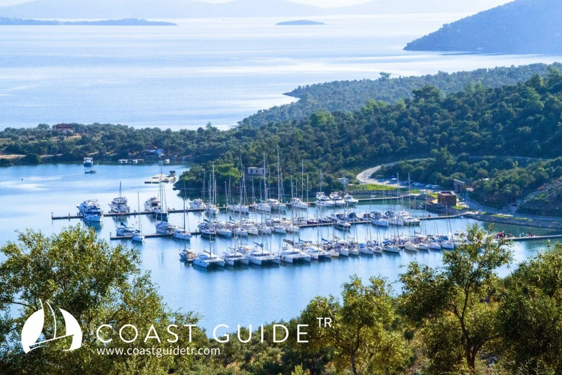
Many coves, large and small, are lined up beneath the mountains surrounding Güllük Gulf. You will find all coves in our system under the scope of Güllük Gulf, including those within Asin Harbor.
The northern shores of Güllük Gulf merge with the sea from flat areas from Tekeağaç Point to Akbük, while after Akbük, the mountains begin to rise.
The mountains around the entire gulf surround the north of Bodrum Peninsula in the south of the gulf and extend to Yalıkavak Peninsula.
The maquis vegetation seen in the north transforms into pine forests on the southern side of the gulf.
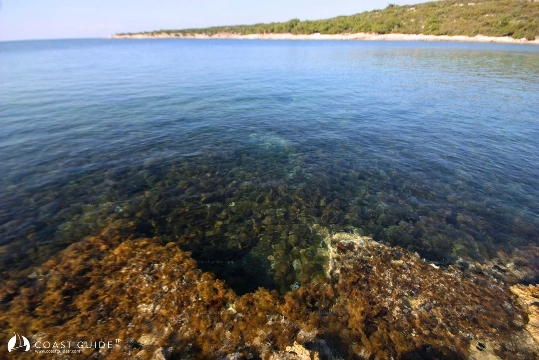
Until recently, there were intensive fish farms, especially in the eastern part. These wrong practices in this tourism region resembling paradise were realized after years, and the farms were moved outside the tourism areas and to open waters. Clean seas and clear coves slowly began to return to their former days. We did not include in this project scope the coves where a small number of fish farms that have not been relocated due to bureaucratic reasons remain or where pollution has not been eliminated. Additionally, regions that are no longer suitable for anchoring due to the influence of intensive land tourism, or coves constantly battered by waves under the influence of winds except during calm weather, are also not in this project.
The coves that we have researched and featured on our portal are coves recommended by us. In this project, which can be updated at any time, we can add or remove coves that reach the desired level for yachtsmen's cruising and anchorage over time, or those that lose their characteristics.
Within Güllük Bay, there are also historical sites in Didim, Kıyıkışlacık(Iasos) and Ülelibük(Varvil).
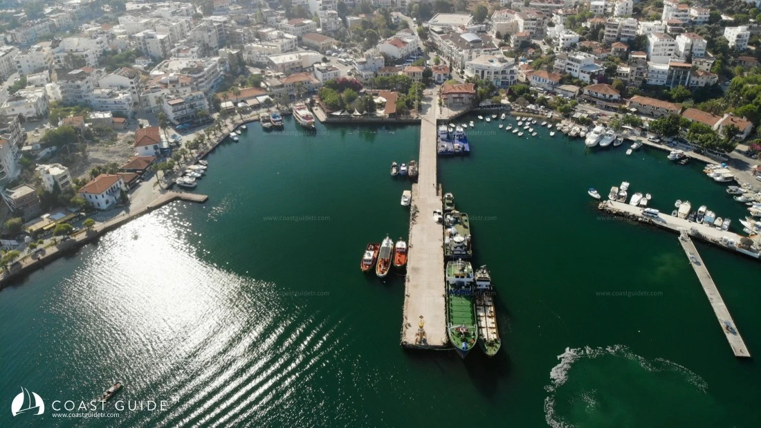
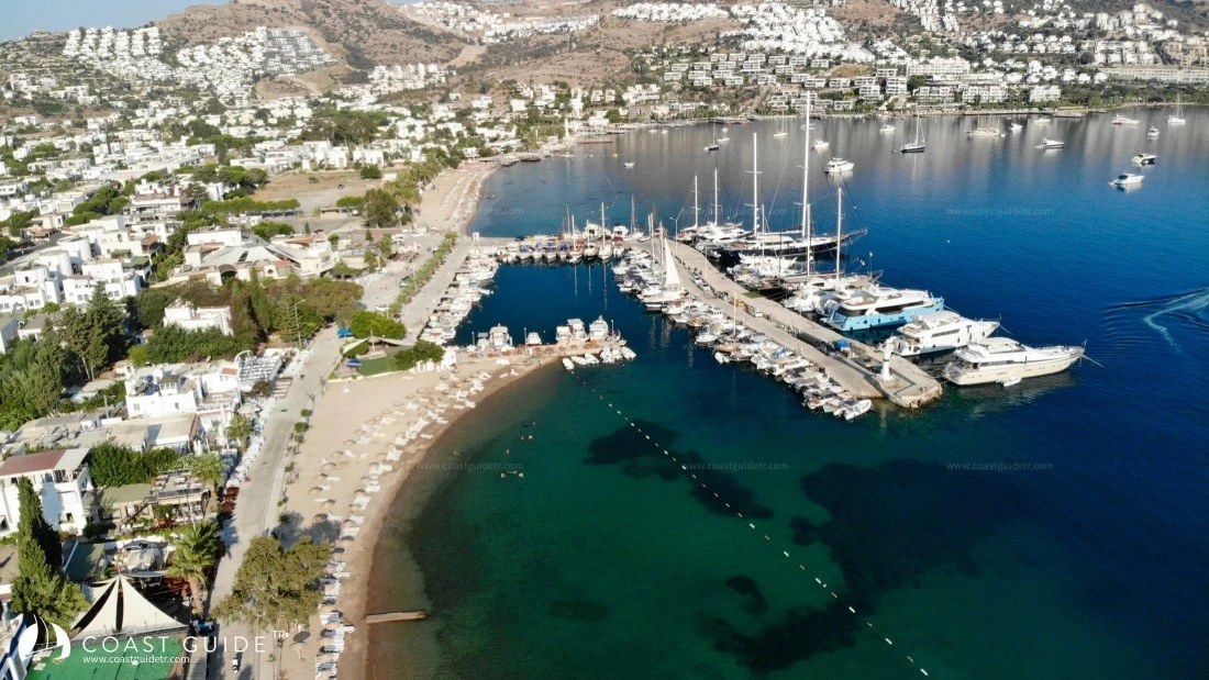
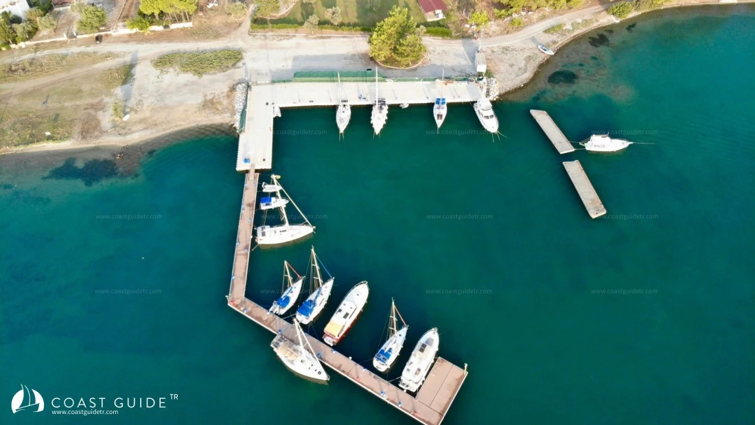
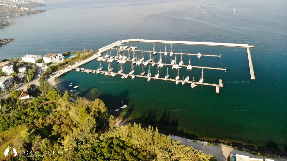
Also within the Bay, there is 1 large marina and 1 boutique marina, as well as harbors and piers with almost all facilities. The region's largest airport (Bodrum Milas Airport) is located in Güllük Bay. It is possible to replenish water and fuel almost everywhere. You can find food supplies, restaurants and local markets at many points in Güllük Bay as well.
Coast Guard, Gendarmerie, hospital, health center, pharmacy, and road transportation facilities are also available at many points of the bay. There are haul-out facilities for necessary situations.
You can access the details of all this information from the cove pages.
METEOROLOGY :
Annual average temperature is 18.4, 27.3 in summer months, prevailing wind NW(northwest),
Annual average precipitation is 578.1 mm/m2, average humidity ratio is %62.49.
In spring, the prevailing wind direction is "EAST". Speed 0.2-3.3 m/sec. Blowing frequency 14x300 hours.
2nd prevailing wind direction is WEST-NORTHWEST. Speed 0.2-3.3 m/sec. Blowing frequency: 9x300 hours.
Strong wind direction NORTHWEST. Speed 3.3-10.7 m/sec. Blowing frequency 5x300 hours.
Summer: Prevailing wind direction is "NORTHWEST". Speed 0.2-3.3 m/sec. Blowing frequency 34x300 hours.
In Güllük Bay, winds start at 11:00 during the day and strengthen. They subside at sunset and blow from the land at night.
2nd prevailing wind direction is EAST. Speed 0.2-3.3 m/sec. Blowing frequency: 12x300 hours.
In autumn, the prevailing wind is SOUTHWEST.
The prevailing wind direction in winter is SOUTH.
CHARTS :
224 Samos Strait-Kos Strait
2245 Kovala Harbor-Akbük Harbor
2246 Kazıklı Harbor-Asin Gulf
2247 Torba Harbor
2248 Gündoğan Harbor-Kadıkalesi
1546 B.Adım
Video