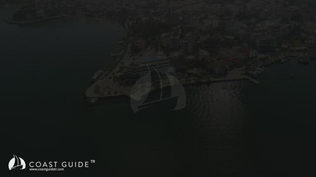
GÜLLÜK
Entry-Exit Port
This port extends to the south on the east of Mandalya Bay. Perlit mine export loadings are handled on the quay. Care is needed while approaching from the west. Reefs and shoal water running out from the western tip of the bay. Çamlık Point is indicated by (Fl(2) 5s 11m 7M). Keep clear away.
All kinds of provisions can be found. The new port under construction and ore loading quay in the town are not allowed for berthing, except coast guard boat. The quay along the shore is occupied by tripper boats and the shelter on the south of the quay is always full, local fishing boats berth here and their buoys cover the passages.
The port is open to westerlies, short term anchorage on the eastern part of the quay is advised. Drop your anchor in the depths of 7-8 meters and swing. The bottom is good for holding. Feasibilities are completed for marina construction, but works have not started yet.
Bodrum-Milas Airport is close to Güllük (8 km). Distance to Bodrum is 35 km, to Milas is 24 km. Taxies can be found at any time.
You should call Municipality office (Phone : 252-522 23 45) for water and fuel supply operations and berth in the shelter for a short stay. Go stern or bows-to on the quay. Fuel can be obtained from truck-tanker. For bilge collection; call Task Vidanjör (252-522 20 22).
State Clinic, pharmacies and Gendarme Station are located in the town. All provisions are available. The public market is arranged on thursdays. You can buy vegetables and fruits. Prices are reasonable. There are several bank branches with ATM systems and cargo offices in the town. The town has become an important residential center with recently built hotels and summer sites.
Güllük is an entry and exit port. Offices of the authorities are by the pier.
Custom: 252- 522 20 32. Port authority : 252-522 20 79


