All Photos
Tekirdağ
40°58'22.26"N 27°31'16.60"E
293-2931
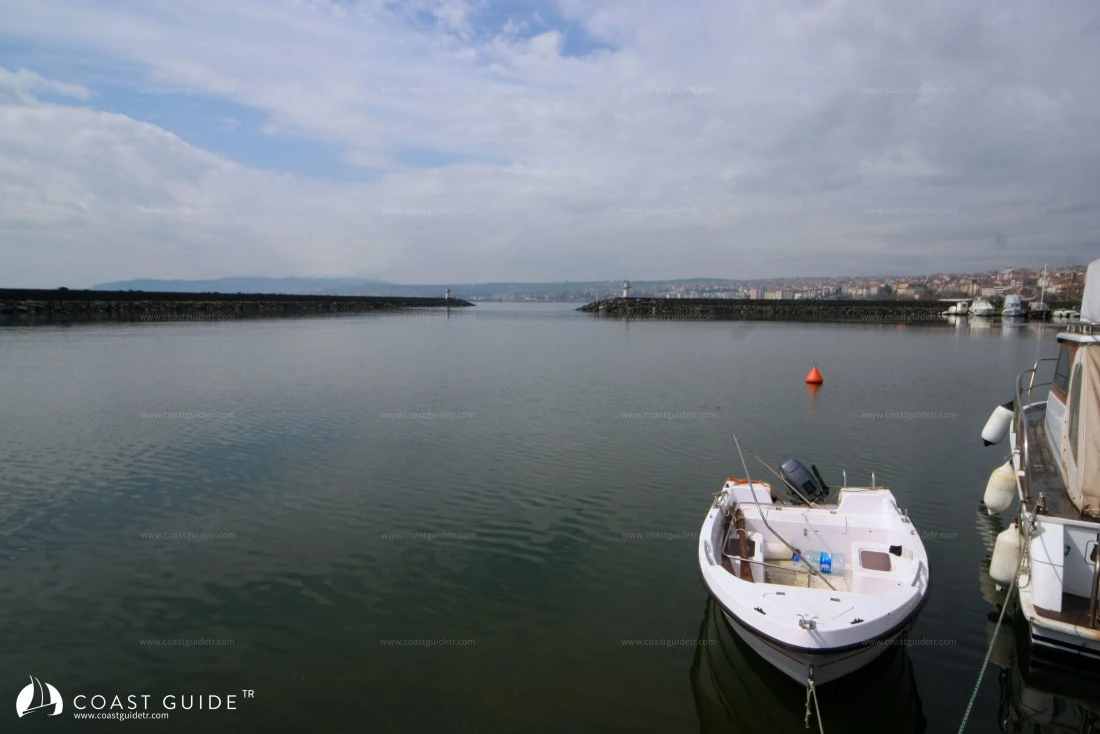
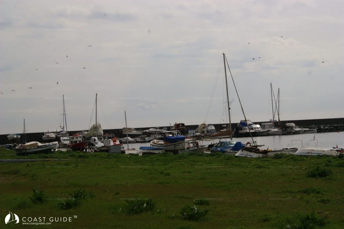
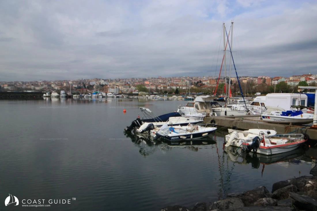
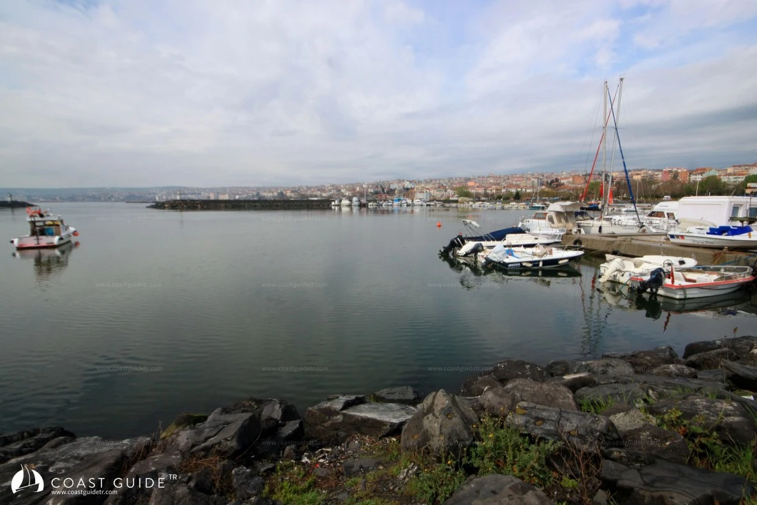
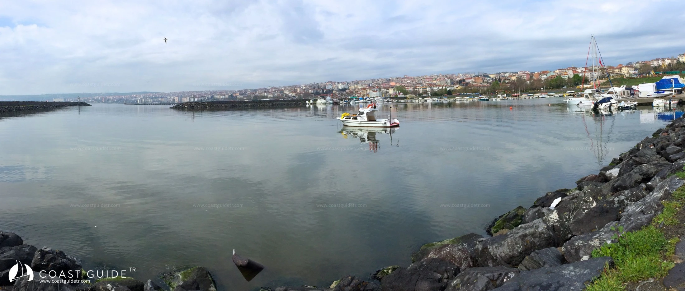
The yacht port is located at the eastern entrance of Tekirdağ city, featuring depths ranging from 3 to 5 meters in the basin. Boats can drop anchor and moor stern-to or bow-to the quay, or berth alongside. With a berthing capacity of 200 vessels, this port serves as a refuge, shelter, and provisioning harbor. Being situated within the city center, sailors have convenient access to all shopping facilities, medical services, security, and transportation options. Regular transport connections to Istanbul are readily available.
Marine Chart
Initializing...
Weather
00:00 21°C
21°C
PRESS
1019
HUM
70%
5.4knots
NE03:0020°C
PRESS
1019
HUM
74%
5.9knots
NE06:00 20°C
20°C
PRESS
1019
HUM
76%
7knots
NNE09:00 23°C
23°C
PRESS
1018
HUM
66%
5.9knots
NE12:0026°C
PRESS
1018
HUM
55%
5.9knots
ENE15:00 27°C
27°C
PRESS
1016
HUM
51%
5.4knots
ENE18:00 26°C
26°C
PRESS
1016
HUM
51%
7knots
ENE21:00 23°C
23°C
PRESS
1016
HUM
62%
7.6knots
NE00:0021°C
PRESS
1016
HUM
71%
5.9knots
NNE03:0020°C
PRESS
1016
HUM
76%
5.4knots
N06:0019°C
PRESS
1016
HUM
78%
5.4knots
N09:0022°C
PRESS
1016
HUM
65%
4.3knots
NE12:0026°C
PRESS
1016
HUM
50%
4.3knots
E15:0027°C
PRESS
1015
HUM
44%
7knots
ENE18:0025°C
PRESS
1015
HUM
48%
13knots
NE21:0022°C
PRESS
1017
HUM
59%
10.3knots
NE00:0020°C
PRESS
1018
HUM
70%
8.6knots
NNE03:0019°C
PRESS
1017
HUM
77%
8.6knots
N06:0019°C
PRESS
1018
HUM
78%
8.6knots
N09:0022°C
PRESS
1018
HUM
62%
11.3knots
NNE12:0025°C
PRESS
1018
HUM
47%
13knots
NE15:0026°C
PRESS
1018
HUM
41%
13knots
NE18:00 25°C
25°C
PRESS
1018
HUM
43%
14knots
NE21:00 23°C
23°C
PRESS
1019
HUM
52%
9.7knots
NE